
Barndominium · LA
Barndominiums in Louisiana
A barndominium built in Louisiana sits inside a climate that NOAA's own state summary describes as being struck by a hurricane on average once every three years, on land where USGS has measured nearly 3,000 square kilometers of coastal wetland converting to open water since 1956. Neither fact changes what a barndominium is. Both change the order of operations: where the parcel sits relative to water and elevation, and what hazard data you pull before you commit to a floor plan, come before interior finishes.
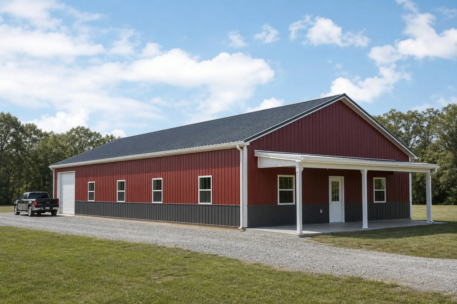
The intersection
What a Louisiana site actually changes about a barndominium
The barndominium format does not change across state lines. What changes in Louisiana is the recurrence of hazard exposure, the instability of some coastal ground, and the scale of the parcel the home usually sits on.
NOAA's National Centers for Environmental Information publish a state climate summary stating that hurricanes strike Louisiana on average once every three years. That is not a forecast for any one project; it is a recurrence pattern that makes hazard-data lookup a routine step for a Louisiana barndominium build, not a one-time worry. The same summary notes about 0.5°F of warming since the start of the 20th century, less than a third of the warming measured for the contiguous United States as a whole — useful context, not a design input.
Geography matters differently here than in most states. USGS has documented that in Louisiana's coastal delta plain, almost 3,000 square kilometers of low-lying wetlands converted to open water between 1956 and 2004, substantially driven by land subsidence in the Mississippi River delta plain. A parcel's relationship to water and elevation is worth checking against current data, not assumed from an older plat or a neighbor's memory of the shoreline, particularly for sites in the southern parishes.
The third change is parcel scale. Louisiana's 2022 Census of Agriculture counted 25,006 farms (down 9% since 2017) across 7,986,381 acres of land in farms, for an average farm size of 319 acres, up 9% since 2017. A barndominium buyer here is more often working with a large rural or former-agricultural parcel than a platted suburban lot, which changes the honest planning questions: access road length, utility run distance and how much of the footprint is home versus attached storage or shop space.
Site context
How siting risk differs across Louisiana
Louisiana is not uniformly exposed. FEMA's National Risk Index and USGS's delta-plain research point to genuinely different siting conversations depending on where the parcel sits relative to the coast.
Coastal and delta parishes
Closest to the geography USGS studied for wetland-to-open-water conversion. Elevation, drainage and flood data are worth pulling fresh from FEMA's National Risk Index tool rather than relying on older maps, given documented subsidence in this zone.
Southern interior parishes
Inland of the immediate coast but still inside the recurring hurricane pattern NOAA describes. Wind and rain exposure planning matters here even without direct coastal flood risk.
Northern and central Louisiana
Further from the Gulf Coast hazard profile FEMA's dataset highlights, but still inside the same statewide hurricane-recurrence pattern; a site-specific hazard check remains worthwhile rather than assumed low-risk.
Exposure
Pull hazard data before you fix the floor plan
FEMA's National Risk Index dataset covers 18 natural hazards, including hurricane, coastal flooding and inland flooding, at the county and Census tract level, and it is built to be checked per parcel rather than assumed statewide.
Nothing on this page states a wind speed, a flood elevation or a required freeboard for your building; those are jurisdiction- and parcel-specific figures that only your local building department or a site-specific flood study can give you. What we can say honestly is that the data exists, is public and is granular enough to check before the floor plan is finalized rather than after.
For a barndominium specifically, the practical sequence is: check the parcel against FEMA's NRI tool and any local flood-zone map, confirm with your building department what that means for foundation type and finished-floor elevation on your parcel, and only then lock the plan for the living-quarters footprint relative to the shop or storage bay.
- Check the parcel, not the parish
- FEMA's NRI resolves to county and Census-tract level; a neighboring tract can carry a different profile.
- Confirm foundation implications locally
- Flood-zone status and finished-floor elevation requirements are set by your local building department, not by this page.
- Revisit older assumptions
- USGS-documented coastal land change since 1956 means older maps and family knowledge of a shoreline can be out of date.
Get Louisiana barndominium quotes
Tell us your parish, your parcel's flood-zone status if known, and your rough living-to-shop split. We route it with the Louisiana and barndominium context already attached.
Configuration
What Louisiana barndominium buyers are usually planning
Large average parcel size and recurring storm exposure shape the brief toward configurations that separate living space from storage and give the building a defensible footprint.
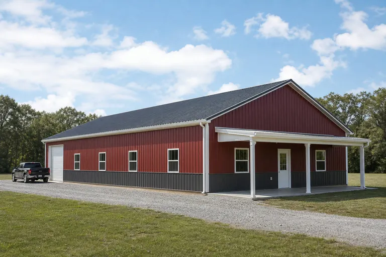 Living quarters plus equipment bayA residence attached to a clear-span bay for vehicles or farm equipment on a rural parcel; door width and separation between living and storage areas are the first decisions.Elevated or raised-floor considerationOn parcels closer to documented coastal or flood exposure, finished-floor elevation is a foundation-stage decision worth resolving with your building department before framing begins.
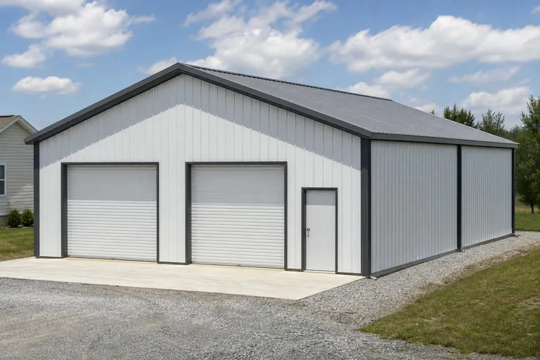 Shop-forward layoutBuyers on working or former-agricultural acreage often prioritize shop square footage first and size the living quarters around what remains, the reverse of a suburban brief.
Example Configuration — for planning purposes only.
Footprint
Sizes that suit a Louisiana rural-parcel barndominium
Larger average acreage and a shop-plus-living brief push Louisiana enquiries toward footprints with room to divide the building rather than compact single-purpose spans.
30′ × 50′
1,500 sq ft
A workable minimum for a modest living-quarters section plus a single-vehicle bay.
40′ × 60′
2,400 sq ft
The common mid-range choice separating living space from a full equipment bay.
40′ × 80′
3,200 sq ft
Where a larger shop is the priority and living quarters occupy one end.
60′ × 100′
6,000 sq ft
For parcels supporting a substantial combined shop-and-residence program.
Example Configuration — for planning purposes only.
Footprint pages carry the layout and door detail for each of these; this page only explains why the Louisiana brief lands in this range.
Preparation
Before you request a Louisiana barndominium quote
Four things resolved in advance make the difference between a comparable quote and a costly re-quote once foundation work begins.
Step 1
Pull FEMA National Risk Index data for the parcel
Check hurricane, coastal-flood and inland-flood exposure at the county and tract level before you finalize siting.
Step 2
Contact your local building department
Ask what your parcel's flood-zone status and elevation requirements mean for foundation type, before the plan is fixed.
Step 3
Confirm the parcel's history, not just its plat
Coastal and delta-adjacent parcels have measurably changed since older surveys; verify current conditions.
Step 4
State the living-to-storage ratio up front
A shop-forward brief priced as a standard home is a common source of a second round of quoting.
Questions
Louisiana barndominium questions
Questions we can answer honestly at state level, with the ones we cannot routed to whoever actually owns them.
NOAA's state climate summary notes hurricanes strike Louisiana on average once every three years, which is a real recurrence pattern worth planning around. What that means for engineering, wind rating or construction requirements on your specific parcel is a question for your local building department and a licensed engineer; we do not state engineering requirements here.
FEMA's National Risk Index publishes hurricane, coastal-flood and inland-flood data at the county and Census-tract level, and your local building department can confirm current flood-zone status for your specific parcel. This page does not assign a risk level to any location.
Permit requirements depend on your parish, your parcel and its intended use as a residence. Your local building department is the only reliable source for that answer.
There is no official typical size. Louisiana's 319-acre average farm size does mean many buyers are planning on larger rural parcels, which tends to favor footprints that separate living quarters from a full equipment or shop bay, commonly in the 40x60 to 40x80 range.
We do not publish state-level prices, because a credible number depends on your specification, foundation requirements driven by site conditions, and current material pricing. Our cost pages cover what drives the number; a quote covers your building.
USGS has documented substantial conversion of low-lying coastal wetland to open water between 1956 and 2004, driven largely by land subsidence. For any specific parcel near the coast, a current survey and a check against FEMA's hazard tool are worth doing before you finalize siting, rather than relying on an older map.
Sources for the Louisiana facts on this page
This page states no code requirement, wind speed, snow load, permit rule, price or supplier claim. The state-specific facts it does use are listed with their publisher below.
NOAA NCEI's State Climate Summary for Louisiana states hurricanes strike Louisiana on average once every three years, and that Louisiana's temperatures have risen about 0.5°F since the beginning of the 20th century — less than a third of the warming for the contiguous United States as a whole.
NOAA National Centers for Environmental Information (NCEI) · State Climate Summaries series, 2022 · Tier 1
https://statesummaries.ncics.org/downloads/Louisiana-StateClimateSummary2022.pdfNOAA NCEI's State Climate Summary for Louisiana states hurricanes strike Louisiana on average once every three years, and that Louisiana's temperatures have risen about 0.5°F since the beginning of the 20th century — less than a third of the warming for the contiguous United States as a whole.
NOAA National Centers for Environmental Information (NCEI) · State Climate Summaries series, 2022 · Tier 1
https://statesummaries.ncics.org/downloads/Louisiana-StateClimateSummary2022.pdfUSGS reports that in Louisiana's coastal delta plain, almost 3,000 square kilometers of low-lying wetlands converted to open water between 1956 and 2004, driven substantially by land subsidence in the Mississippi River delta plain.
U.S. Geological Survey (USGS) · March 2013 (data through 2004) · Tier 1
https://pubs.usgs.gov/fs/2013/3017/pdf/fs2013-3017.pdfLouisiana had 7,986,381 acres of land in farms in 2022, an average farm size of 319 acres (up 9% since 2017).
USDA NASS · 2022 · Tier 1
https://www.nass.usda.gov/Publications/AgCensus/2022/Online_Resources/County_Profiles/Louisiana/cp99022.pdfLouisiana had 25,006 farms in 2022, a decrease of 9% since 2017.
USDA National Agricultural Statistics Service (NASS) · 2022 · Tier 1
https://www.nass.usda.gov/Publications/AgCensus/2022/Online_Resources/County_Profiles/Louisiana/cp99022.pdfLouisiana's total land area was measured at 43,203.9 square miles as of the 2010 Census.
U.S. Census Bureau · 2010 Census · Tier 1
https://www.census.gov/geographies/reference-files/2010/geo/state-local-geo-guides-2010/louisiana.htmlFEMA's National Risk Index dataset assesses 18 natural hazards, including hurricane, coastal flooding, and inland flooding, which are especially relevant to Louisiana's Gulf Coast exposure, at the county and Census tract level via its interactive online tool.
Federal Emergency Management Agency (FEMA) · Current NRI release · Tier 1
https://www.fema.gov/flood-maps/products-tools/national-risk-indexLouisiana had a total of 14,247 new privately-owned housing units authorized by building permits in 2023, rising slightly to 14,310 units in 2024.
U.S. Census Bureau · 2023-2024 · Tier 1
https://www2.census.gov/econ/bps/State/st2024a.txt