
Barndominium · MN
Barndominiums in Minnesota
A Minnesota barndominium plan should open with a map, not a floor plan. The state DNR's own Ecological Classification System names distinct provinces — the Blufflands Subsection cut into the southeast, the North Central Glaciated Plains further west, the Eastern Broadleaf Forest across the middle of the state — and NWS Duluth's climate reporting places International Falls among the coldest reporting stations in the contiguous 48 states while the Minneapolis-St. Paul normal describes a materially milder profile a few hundred miles south. Only after naming the province and the climate identity does the state's agricultural picture matter: 65,531 farms in 2022, down 5% since 2017, averaging 388 acres, alongside 25,667 new housing units authorized statewide in 2023. This page works in that order — province and climate first, land history and footprint second — because that is the order a builder actually needs the answers in.
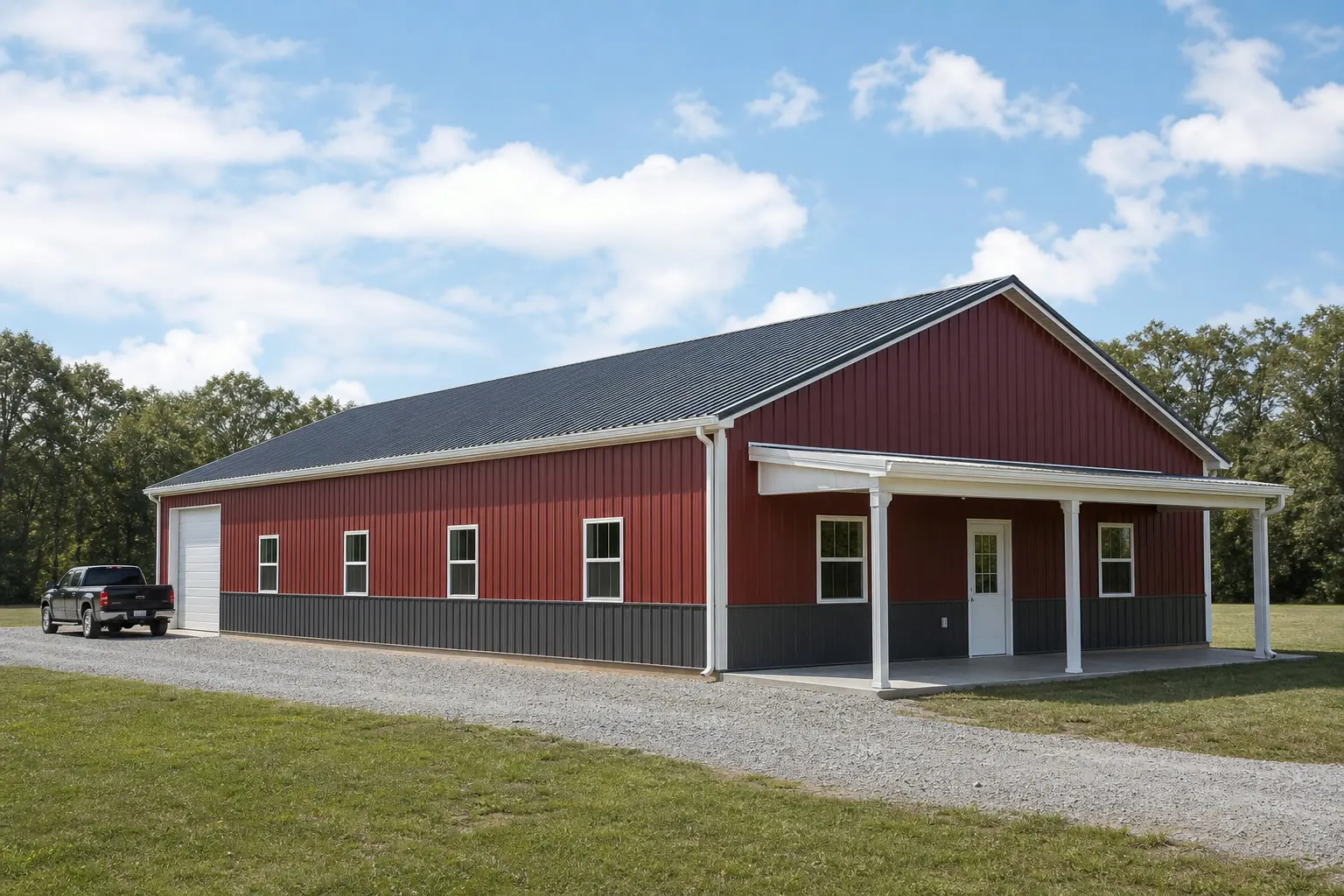
Start here
Name Your DNR Province and Your Climate Identity First
Minnesota does not have one terrain and one winter; it has several of each, mapped and documented by the state's own agencies, and a barndominium brief should be scoped to whichever combination actually applies to the parcel.
Blufflands Subsection, southeast Minnesota
Named separately by the DNR's Ecological Classification System for its steep, dissected terrain; a barndominium sited here is answering to bluff-country slope and drainage in a way a flat-plains foundation plan does not anticipate.
North Central Glaciated Plains and the far north
NWS Duluth's climate data places International Falls, within this broader region, among the coldest reporting stations in the contiguous 48 states — a longer heating season and a deeper freeze cycle than the state's south.
Eastern Broadleaf Forest Province and the Twin Cities corridor
Nearer the Minneapolis-St. Paul climate normal station and nearer the bulk of the state's 25,667 housing units authorized in 2023 — a materially milder winter and a more active residential permit market than the northern provinces.
Exposure
Four Envelope Decisions a Southern-Minnesota Normal Doesn't Settle
The Minneapolis-St. Paul station's 31.62-inch annual precipitation and 51.2-inch snowfall normal is a real number, but it describes one station, not the state a barndominium buyer near International Falls is actually building in.
Step 1
Ask which regional normal your insulation contractor is designing to
A Twin Cities-area contractor and an International Falls-area contractor should not be working from the same assumed winter; confirm which figures inform your specific plan.
Step 2
Set vapor and thermal continuity before the shell closes
A barndominium is occupied daily, unlike a seasonal outbuilding, so a continuous vapor and insulation strategy has to be decided before drywall goes up, not after a first cold snap reveals gaps.
Step 3
Route roof water before landscaping locks in the grade
Deciding where snowmelt and roof discharge go relative to entries and driveways is materially cheaper before hardscape is finished than after, in either climate province.
Step 4
Pull your own county's FEMA figure, not the state mean
The statewide mean hazard score of 42.4 covers 87 counties that sit above and below it; get your county's own number from FEMA's National Risk Index tool.
Land history
Why the Parcel Probably Has a Farming Past
Once the province and climate identity are settled, the second real variable is what the land was used for before it became a residential site.
USDA's 2022 Census of Agriculture counted 65,531 Minnesota farms, a 5% decline since 2017, while average farm size climbed to 388 acres across 25,442,625 acres of land in farms statewide. Fewer, larger holdings is the pattern that tends to leave an existing structure, well, septic system or established driveway on acreage a barndominium buyer eventually purchases into, rather than a clean lot cut fresh from raw ground. That matters practically: a buyer inheriting agricultural infrastructure has different disclosure and inspection questions than one starting from bare land, regardless of which DNR province the parcel sits in.
It also means the residential-permit backdrop is worth checking independently of the farm-history question. Census figures show 25,667 new housing units authorized across Minnesota in 2023, concentrated more heavily near the Eastern Broadleaf Forest Province and the Twin Cities corridor than in the sparser northern provinces. A buyer near that corridor is more likely competing for contractor time in an active market; a buyer farther north or west is not necessarily working against the same backlog.
None of this changes what the local building department decides for a specific parcel — occupancy classification, permitting and any structural loads that apply remain a local answer. What farm-history and permit-volume data add is context for timing and site preparation, layered on top of the province and climate identity already established.
Get Minnesota barndominium quotes
Tell us your DNR province or general region, your parcel's land history, and your living-space-to-shop split. We route it with the Minnesota and barndominium context already attached.
Configuration
How the Province and Land History Shape the Brief
The same square footage means something different depending on which province and which land history a Minnesota barndominium sits on.
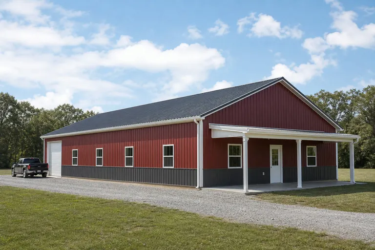 Bluff-country residenceSited in the Blufflands Subsection; the brief is shaped by slope and drainage as much as by room count, and the foundation plan responds to that terrain first.Consolidated-acreage succession homeBuilt on land a family operation retained after nearby parcels consolidated; often keeps a shop or equipment bay alongside living space.Twin Cities-corridor residenceSited nearer the Eastern Broadleaf Forest Province and the active 2023 permit market; the brief tends to prioritize finished living space and a faster build timeline over deep equipment storage.
Example Configuration — for planning purposes only.
Footprint
Footprint Ranges That Fit Minnesota Programs
A residence-grade brief on consolidated acreage tends to run larger than a working shed, since living space and a shop bay both need to fit inside one footprint, in any province.
40′ × 60′
2,400 sq ft
A common starting point separating living space from a working bay without an oversized shell.
40′ × 80′
3,200 sq ft
Adds length for a larger shop or garage end alongside full living quarters.
50′ × 100′
5,000 sq ft
Where a farmstead succession build wants generous equipment storage plus a full residence under one roof.
Example Configuration — for planning purposes only.
Footprint pages carry layout and door detail for each of these; this page explains only why Minnesota briefs tend to land in this range.
Questions
Minnesota barndominium questions
Questions this page can answer honestly at the state level, with everything else routed to whoever actually owns it.
Yes. The DNR's Ecological Classification System names distinct provinces — the Blufflands Subsection, the North Central Glaciated Plains, the Eastern Broadleaf Forest — with real terrain differences, and NWS Duluth's data shows International Falls among the coldest stations in the contiguous states while the Twin Cities normal is materially milder. Both change the foundation and envelope brief.
Zoning, occupancy classification and permitting for a residential structure are decided locally, parcel by parcel. Your local building department is the only reliable source on whether and how a barndominium is permitted on your specific site.
The 2022 Census of Agriculture recorded a 5% drop in Minnesota farm count since 2017 alongside a rise in average farm size to 388 acres, a consolidation pattern that frequently leaves an existing structure or utility connection on land a buyer eventually purchases into.
There is no official typical size. Programs that separate living space from a shop bay tend to land between 40x60 and 50x100, but your footprint should follow your actual program and your province's terrain, not a statewide norm.
Census data shows 25,667 new housing units authorized statewide in 2023, weighted more heavily toward the Eastern Broadleaf Forest Province and the Twin Cities corridor. We do not publish metro-level prices or timelines; confirm current lead times with local builders and your building department.
FEMA's National Risk Index reports a mean composite score of 42.4 across all 87 Minnesota counties, and individual counties sit above and below that mean. Pull your county's specific data from the official NRI tool rather than assuming the statewide mean applies to your site.
Sources for the Minnesota facts on this page
This page states no code requirement, wind speed, snow load, permit rule, price or supplier claim. The state-specific facts it does use are listed with their publisher below.
The Minnesota DNR's Ecological Classification System divides the state into named provinces and sections such as the Eastern Broadleaf Forest Province, the North Central Glaciated Plains Section, and the Blufflands Subsection in the southeast.
Minnesota Department of Natural Resources (DNR) · DNR reference material · Tier 2
https://www.dnr.state.mn.us/ecs/index.htmlThe NWS Duluth office's climate reports show International Falls, MN routinely records some of the coldest January temperatures in the contiguous 48 states, based on the 1991-2020 climate normal period and a period of record back to 1895.
National Weather Service (NOAA), Duluth MN office · Period of record 1895-present; normals 1991-2020 · Tier 1
https://www.weather.gov/dlh/threadexMinneapolis-St. Paul's 1991-2020 annual normal precipitation is 31.62 inches with 51.2 inches of annual snowfall.
NOAA National Centers for Environmental Information (NCEI) · 1991-2020 · Tier 1
https://www.ncei.noaa.gov/access/services/data/v1?dataset=normals-annualseasonal-1991-2020&stations=USW00014922&format=json&dataTypes=ANN-PRCP-NORMAL,ANN-SNOW-NORMALMinnesota had 65,531 farms in 2022, a 5% decrease since 2017.
USDA National Agricultural Statistics Service (NASS) · 2022 · Tier 1
https://www.nass.usda.gov/Publications/AgCensus/2022/Online_Resources/County_Profiles/Minnesota/cp99027.pdfMinnesota had 25,442,625 acres of land in farms in 2022, with an average farm size of 388 acres, up 5% since 2017.
USDA NASS · 2022 · Tier 1
https://www.nass.usda.gov/Publications/AgCensus/2022/Online_Resources/County_Profiles/Minnesota/cp99027.pdfBuilding permit offices in Minnesota authorized construction of 25,667 new privately-owned housing units in 2023 (12,770 single-family buildings plus multi-unit structures).
U.S. Census Bureau · 2023 (final annual) · Tier 1
https://www2.census.gov/econ/bps/State/st2023a.txtFEMA's National Risk Index reports Minnesota's 87 counties with a mean composite NRI risk score of 42.4 on FEMA's 0-100 relative scale (v1.20 release).
Federal Emergency Management Agency (FEMA) · NRI v1.20 dataset · Tier 1
https://www.fema.gov/flood-maps/products-tools/national-risk-index