
Pole barn · KY
Pole Barns in Kentucky
Two things change a post-frame project when the site is in Kentucky rather than a neighbouring state. First, Kentucky administers a mandatory uniform statewide building code through one state agency, so the code question has a single named starting point instead of a county-by-county hunt. Second, Kentucky's farms are numerous but modest in size, averaging 179 acres, which pushes the typical pole barn toward a mixed equipment-and-storage building on a working small acreage rather than a single-purpose commodity shed.
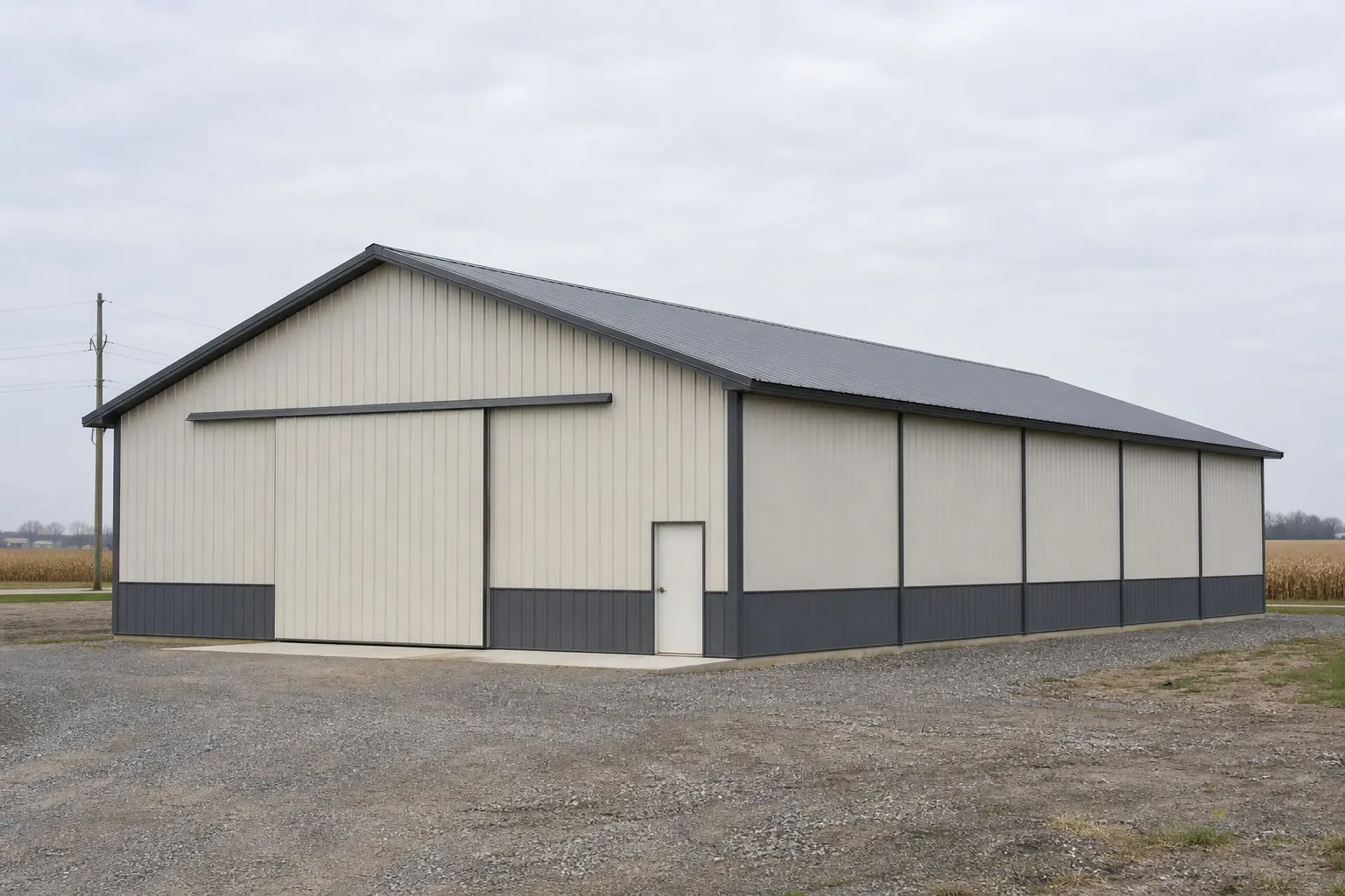
The intersection
What a Kentucky site actually changes about a pole barn
The building itself does not change much across state lines. What changes is who administers the rules, how the ground behaves and what the building is usually asked to do at once.
Kentucky's Department of Housing, Buildings and Construction promulgates a mandatory uniform statewide building code, and its Division of Building Code Enforcement publishes the list of codes currently adopted and enforced. For a post-frame buyer, the practical consequence is procedural rather than technical: there is one state-level starting point to check, and a local building department applying that framework, instead of a set of unrelated county positions. It does not tell you what your building will need, and this page will not guess at that; it tells you where the answer comes from.
The second change is scale. Kentucky counted 69,425 farms in the 2022 Census of Agriculture across 12,431,190 acres of land in farms, an average of 179 acres. That is a large number of comparatively small operations. The Kentucky Department of Agriculture puts it another way: close to half of the state's roughly 25 million acres is involved in farming. A 179-acre operation rarely justifies a separate shop, a separate equipment shed and a separate hay structure, so the building that gets specified is usually one post-frame envelope carrying two or three jobs.
The third change is ground. The Kentucky Geological Survey divides the state into named physiographic regions, including the Cumberland Plateau and Mountains in the east, the Bluegrass, the Western Coalfields and the Mississippian Plateau or Pennyroyal. Those regions are not a formality on a 39,486-square-mile state: a level Bluegrass paddock and a Cumberland Plateau hillside produce very different site preparation, drainage and delivery-access conversations for the same building.
Site context
How the build site differs across Kentucky
Kentucky's physiographic regions, as named by the Kentucky Geological Survey, are the most useful lens for anticipating site work before a quote.
Bluegrass
Rolling to gently rolling farmland around the central part of the state. Sites here tend to give the easiest pad preparation and truck access of the four, which is usually where budget goes into the building instead of into earthwork.
Cumberland Plateau and Mountains
The eastern uplands, described by the Kentucky Geological Survey as covering roughly 10,500 square miles across 35 counties. Slope is the planning variable: available level ground, cut-and-fill volume and the turning room a delivery truck needs are worth confirming before you fix a footprint.
Western Coalfields
The western interior, with mixed agricultural and former extractive land use. Sites vary considerably parcel to parcel, so treat the existing grade and drainage path as something to be checked rather than assumed.
Mississippian Plateau / Pennyroyal
South-central Kentucky, characterised by karst landscape features. Where surface drainage disappears rather than running off, where water goes during a heavy event is a question worth resolving with your site contractor early.
Exposure
Water management is the recurring Kentucky detail
At roughly 45.2 inches of annual normal precipitation with about 12 inches of annual snowfall at Louisville, a Kentucky post-frame building spends much of its life shedding water.
That figure is a station normal published by the National Weather Service for the 1991-2020 period, not a design value, and nothing on this page converts it into a load or a specification. Used correctly, it is a prompt: for a building that will hold equipment, hay or a workshop, the details that pay for themselves are the ones that move water away from the posts and the slab edge.
In practice that means agreeing on the finished pad height relative to surrounding grade, deciding whether gutters and downspouts are in scope or a later retrofit, and confirming where roof water discharges relative to the doors you will drive through daily. None of this is Kentucky-specific engineering; it is simply the detail that gets skipped most often and is felt most often in a state with this much annual rainfall.
- Pad height and grade
- Confirm the finished floor sits above the surrounding grade rather than level with it, especially on flatter Bluegrass and Pennyroyal parcels.
- Roof water routing
- Decide gutter scope up front; retrofitting after the apron is poured is the more expensive order of operations.
- Approach and apron
- The area you drive over daily takes the wettest wear, so it is worth planning alongside the building rather than after it.
Get Kentucky post-frame quotes
Tell us the region your site sits in, the functions the building has to serve and your rough footprint. We route it with the Kentucky and pole barn context already attached.
Configuration
What Kentucky pole barns are usually asked to do
On a 179-acre average operation, the realistic brief is a single building that combines two or three functions, so the configuration decisions that matter are about division and access rather than about total span.
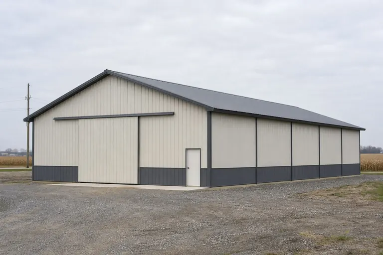 Equipment plus workshopA clear equipment bay with a partitioned, better-finished work end. The decision to make early is whether the partition is structural, insulated, or simply a later addition.
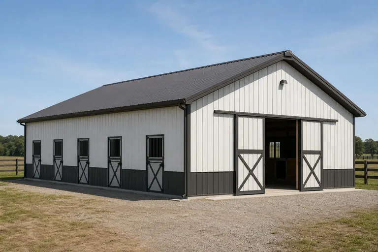 Livestock and hayVentilation and door placement drive this configuration more than square footage does, particularly for a building that will be closed up during humid summer weather.
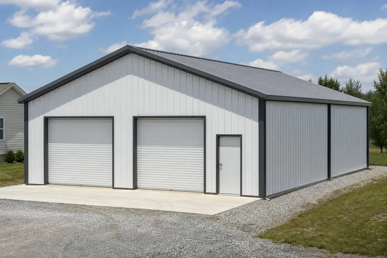 Storage plus vehiclesWhere the same building shelters trailers, a truck and general storage, door width and headroom are the constraints people regret, not floor area.
Example Configuration — for planning purposes only.
Footprint
Sizes that suit a mixed-use Kentucky building
Mixed use is what pushes Kentucky enquiries into the mid range: enough width for equipment to turn, enough length to divide the building without making either end unusable.
30′ × 40′
1,200 sq ft
The smallest footprint that still divides sensibly into an equipment bay and a work end.
30′ × 50′
1,500 sq ft
Adds length rather than width, which is usually the cheaper way to gain a third function.
40′ × 60′
2,400 sq ft
The common choice where larger equipment has to turn inside the building rather than outside it.
40′ × 80′
3,200 sq ft
Where hay storage and equipment genuinely need separating within one envelope.
Example Configuration — for planning purposes only.
Footprint pages carry the layout and door detail for each of these; this page only explains why the Kentucky brief lands in this range.
Preparation
Before you request a Kentucky quote
Four things resolved in advance make the difference between a comparable quote and a re-quote.
Step 1
Contact your local building department
Kentucky's uniform code is administered statewide, but your local department applies it to your parcel. Ask them what your site and use require before you fix the specification.
Step 2
Describe the region, not just the county
Whether the site is level Bluegrass ground or a Plateau hillside changes site work more than anything else on the quote.
Step 3
Fix the daily access path
Where you will drive in, and with what, sets door sizing and apron scope.
Step 4
State every function the building serves
A mixed-use brief priced as single-use is a frequent cause of a second round of quoting.
Questions
Kentucky pole barn questions
Questions we can answer honestly at state level, with the ones we cannot routed to whoever actually owns them.
Kentucky's Department of Housing, Buildings and Construction promulgates a mandatory uniform statewide building code and publishes the list of codes currently adopted and enforced. What that framework requires for your specific building and use is a question for your local building department; we do not state code requirements on this page.
Permit requirements depend on your jurisdiction, your parcel and how the building will be used, including any agricultural considerations. Your local building department is the only reliable source for that answer, and it is worth asking before you finalise dimensions.
There is no official typical size. What we can say is that Kentucky's 179-acre average farm size favours one mixed-use building, and mixed-use briefs commonly land between 30x40 and 40x60 because that range divides into two or three functional areas without wasting either end.
We do not publish state-level prices, because a credible number depends on your specification, site work and current material pricing. Our cost pages cover what drives the number; a quote covers your building.
Site work on sloped ground generally involves more preparation than on level ground, which is a real budget factor, but the amount depends entirely on your parcel. The Kentucky Geological Survey's regions are a useful way to describe your site to a builder; only a site visit produces a number.
Sources for the Kentucky facts on this page
This page states no code requirement, wind speed, snow load, permit rule, price or supplier claim. The state-specific facts it does use are listed with their publisher below.
Kentucky's Department of Housing, Buildings and Construction (Division of Building Code Enforcement) promulgates a mandatory uniform statewide building code under KRS 198B.040(7) and 198B.050.
Kentucky Public Protection Cabinet / Legislative Research Commission · Current regulation (accessed 2026) · Tier 2
https://apps.legislature.ky.gov/law/kar/titles/815/007/120/Kentucky's Department of Housing, Buildings and Construction publishes the list of codes currently adopted and enforced statewide.
Kentucky Department of Housing, Buildings and Construction (dhbc.ky.gov) · Current as posted by DHBC · Tier 2
https://dhbc.ky.gov/Documents/Find%20Currently%20Enforced%20Code.pdfKentucky had 69,425 farms in 2022.
USDA National Agricultural Statistics Service (NASS) · 2022 · Tier 1
https://www.nass.usda.gov/Publications/AgCensus/2022/Online_Resources/County_Profiles/Kentucky/cp99021.pdfKentucky had 12,431,190 acres of land in farms in 2022, an average farm size of 179 acres.
USDA NASS · 2022 · Tier 1
https://www.nass.usda.gov/Publications/AgCensus/2022/Online_Resources/County_Profiles/Kentucky/cp99021.pdfThe Kentucky Department of Agriculture states almost half of Kentucky's roughly 25 million acres is involved in farming.
Kentucky Department of Agriculture (kyagr.com) · 2022 Census, released Feb. 2024 · Tier 2
https://www.kyagr.com/ky-agnews/press-releases/2024/US-Census-of-Agriculture-shows-growth-for-Kentucky-agricultural-products.htmlKentucky Geological Survey divides the state into named physiographic regions including the Cumberland Plateau and Mountains (Eastern Coalfields, ~10,500 sq mi across 35 counties), the Bluegrass, the Western Coalfields, and the Mississippian Plateau/Pennyroyal.
Kentucky Geological Survey (University of Kentucky) · KGS reference material · Tier 2
https://www.uky.edu/KGS/geoky/physiographic.htmKentucky's total land area was measured at 39,486.3 square miles as of the 2010 Census.
U.S. Census Bureau · 2010 Census · Tier 1
https://www.census.gov/geographies/reference-files/2010/geo/state-local-geo-guides-2010/kentucky.htmlLouisville's 1991-2020 annual normal precipitation is about 45.2 inches with roughly 12 inches of annual snowfall.
National Weather Service (NOAA), Louisville KY office · 1991-2020 · Tier 1
https://www.weather.gov/media/lmk/climate/clisdf/monthly_seasonal_annual_sdf_lou_1991_2020.pdf