
Metal garage · WV
Metal Garages in West Virginia
West Virginia's terrain is not uniform: the West Virginia Geological and Economic Survey describes the state as split mainly between the Appalachian (Allegheny) Plateau and the Valley and Ridge province, with a small portion of Blue Ridge terrain and karst ground mapped across specific eastern counties including Greenbrier, Pocahontas, Randolph and Monroe. For a metal garage, that terrain split is the real siting question — grading, drainage and driveway access behave differently on a plateau parcel than on a valley or karst site. Layered on top, the state authorized 4,192 new privately-owned housing units in 2024, following a 17.9% jump in 2023, so garages are increasingly being sited alongside genuinely new construction rather than only added to existing homes.
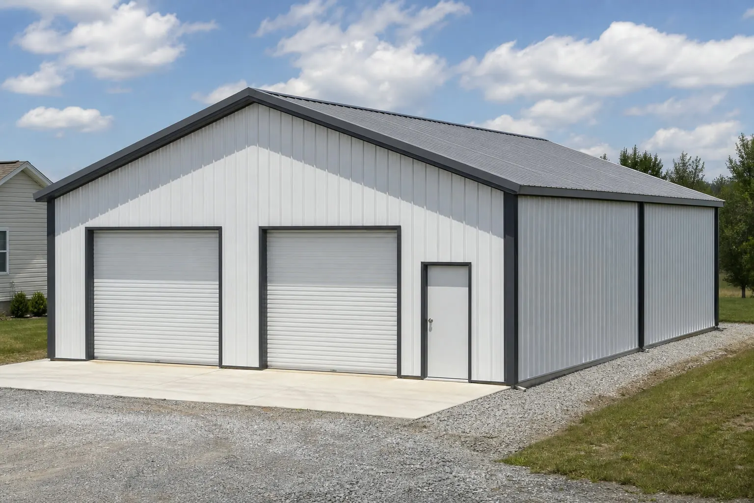
The intersection
West Virginia terrain decides the garage siting conversation
Two dominant physiographic provinces, plus mapped karst counties, mean grading is a site-specific question before a footprint is chosen.
West Virginia is not flat farmland the way some states are. The West Virginia Geological and Economic Survey describes the state as split mainly between the Appalachian (Allegheny) Plateau and the Valley and Ridge province, with a small portion of Blue Ridge terrain in the far east. A garage pad that requires minimal cut-and-fill on plateau ground can require meaningfully more excavation or retaining work on Valley and Ridge terrain a few counties over, so the honest starting point is knowing which province the parcel sits in and discussing grading with a local excavator or builder before fixing a footprint.
Layered on that terrain split is karst geology: WVGES maps karst terrain across specific named tax districts, concentrated in counties including Greenbrier, Pocahontas, Randolph and Monroe. Karst ground can affect drainage and foundation planning in ways that generic slab guidance does not anticipate. This page does not assign karst status to any specific parcel — that comes from WVGES's own mapping and a local geotechnical opinion where warranted — but a garage buyer in one of those counties is well served by checking before committing to a slab location.
Site conditions
How West Virginia terrain changes garage siting
Province and karst status both shape what a garage foundation and access drive actually look like.
| Terrain feature | What WVGES documents | What it means for a garage site |
|---|---|---|
| Appalachian (Allegheny) Plateau | The state's primary western and central physiographic province | Often more workable grading, but still worth confirming slope and drainage on the specific parcel. |
| Valley and Ridge province | The state's other dominant province, generally in the east | Ridge-and-valley topography can mean steeper access grades and more site-specific retaining or cut-and-fill work. |
| Karst-mapped counties | Includes Greenbrier, Pocahontas, Randolph and Monroe among others per WVGES tax-district mapping | Worth checking against WVGES mapping and, where warranted, a local geotechnical opinion before finalizing a slab. |
Appalachian (Allegheny) Plateau
- What WVGES documents
- The state's primary western and central physiographic province
- What it means for a garage site
- Often more workable grading, but still worth confirming slope and drainage on the specific parcel.
Valley and Ridge province
- What WVGES documents
- The state's other dominant province, generally in the east
- What it means for a garage site
- Ridge-and-valley topography can mean steeper access grades and more site-specific retaining or cut-and-fill work.
Karst-mapped counties
- What WVGES documents
- Includes Greenbrier, Pocahontas, Randolph and Monroe among others per WVGES tax-district mapping
- What it means for a garage site
- Worth checking against WVGES mapping and, where warranted, a local geotechnical opinion before finalizing a slab.
Exposure and context
Precipitation, snowfall and a growing new-construction market
A representative station normal and rising housing-permit activity both shape how a garage gets planned and used.
The Charleston Yeager Airport's 1991-2020 climate normal records 46.24 inches of annual precipitation and 31.5 inches of annual snowfall. That is a single representative station figure, not a statewide design value — West Virginia's elevation range means actual conditions vary by site — but it does flag that roof drainage, gutter placement and driveway grading toward or away from the garage door deserve attention across the full year, not just during winter months.
Separately, the U.S. Census Bureau recorded 4,192 total new privately-owned housing units authorized in West Virginia in 2024, following a 17.9% year-over-year increase from 3,406 units in 2022 to 4,014 in 2023. That growth means more garages are being planned as part of new home construction, where the garage's grading, driveway and utility connections can be coordinated with the house build from the start, rather than retrofitted onto an established lot after the fact.
- Coordinate grading with new-home construction
- If the garage is part of a new build, plan driveway and drainage together with the house site work rather than as a separate afterthought.
- Confirm karst status where relevant
- Buyers in mapped counties are well served by a quick check against WVGES's karst tax-district mapping before finalizing a slab.
- Plan gutter and grading for the full year
- The representative regional precipitation and snowfall figures both point to year-round drainage planning, not just winter snow load.
Get West Virginia metal garage quotes
Tell us your county, terrain and rough footprint. We route it with the West Virginia and metal-garage context already attached.
Configuration
What West Virginia metal garages are usually asked to do
Terrain access and small farm-scale acreage both shape the common configurations.
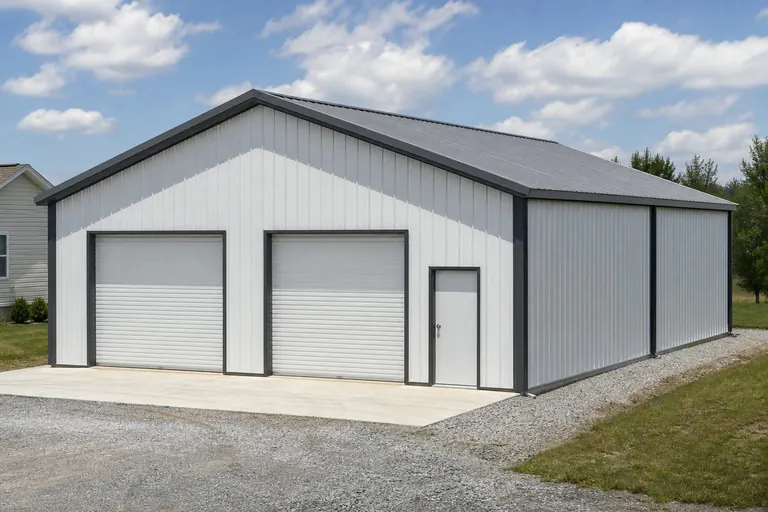 Vehicle storage on sloped groundGarage siting depends on grading and access as much as door count; a level pad may cost more site work than the building itself.
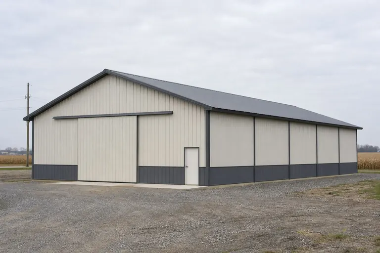 Small farm or acreage supportA garage combined with equipment storage suits West Virginia's small average farm size, per USDA figures for the state.New-construction pairingA garage planned alongside a new home benefits from shared driveway and drainage planning from the outset.
Example Configuration — for planning purposes only.
Footprint
Sizes that fit a West Virginia garage brief
Terrain and access, not just budget, tend to set the practical footprint ceiling on sloped sites.
20′ × 24′
480 sq ft
A compact single-vehicle footprint suited to tighter or steeper building envelopes.
24′ × 30′
720 sq ft
A common two-car starting point where a level pad is achievable.
30′ × 40′
1,200 sq ft
Room for vehicles plus equipment on larger, flatter acreage.
Example Configuration — for planning purposes only.
Footprint pages carry layout and door detail for each of these; this page explains why West Virginia briefs weigh terrain before size.
Preparation
Before you request a West Virginia metal-garage quote
Four things resolved in advance make quotes comparable.
Step 1
Identify your physiographic province
Tell your builder whether the site is Appalachian Plateau or Valley and Ridge terrain, since grading approach can differ.
Step 2
Check karst mapping if you're in an eastern county
Counties like Greenbrier, Pocahontas, Randolph and Monroe carry WVGES-mapped karst terrain worth confirming before siting a slab.
Step 3
Contact your local building department
Permit thresholds and adopted code editions are set locally; ask before finalizing the plan.
Step 4
Plan driveway and drainage together
If the garage is part of new construction, coordinate site work with the home build rather than after the fact.
Step 5
Review county-level hazard exposure
FEMA's National Risk Index scores 18 natural hazard types at the county level for all 55 West Virginia counties; check your county's profile before finalizing plans.
Questions
West Virginia metal garage questions
Questions answered honestly at state level; the rest routed to whoever owns them.
Permit requirements and adopted code editions are set locally. Your local building department is the only reliable source for your specific parcel.
Yes. WVGES documents the state as split mainly between the Appalachian Plateau and the Valley and Ridge province, and grading approach for a level garage pad can differ meaningfully between them.
It can be, in specific mapped counties such as Greenbrier, Pocahontas, Randolph and Monroe. We do not assign karst status to any parcel here; check WVGES's mapping and consult a local geotechnical opinion if warranted.
There is no official typical size. Terrain and achievable pad grading often set the practical limit on sloped sites more than budget alone, so confirming siting feasibility before choosing a footprint is worth doing.
We do not publish state-level prices, since site grading, specification and current material pricing all drive the number. Our cost pages cover what drives cost; a quote covers your building.
Sources for the West Virginia facts on this page
This page states no code requirement, wind speed, snow load, permit rule, price or supplier claim. The state-specific facts it does use are listed with their publisher below.
The West Virginia Geological and Economic Survey states that West Virginia mainly has two major physiographic provinces, the Appalachian (Allegheny) Plateau and the Valley and Ridge, plus a very small portion of a third, the Blue Ridge province.
West Virginia Geological and Economic Survey (WVGES) · Reference material, current · Tier 2
https://www.wvgs.wvnet.edu/www/maps/pprovinces.htmWVGES maps karst terrain across multiple West Virginia tax districts, concentrated in the state's limestone-rich Valley and Ridge and eastern Appalachian Plateau counties (e.g., Greenbrier, Pocahontas, Randolph, Monroe).
West Virginia Geological and Economic Survey (WVGES) · WVGES reference mapping · Tier 2
https://www.wvgs.wvnet.edu/www/geology/docs/WV_Tax_Districts_Containing_Karst_Terrain.pdfCharleston Yeager Airport's 1991-2020 annual climate normal precipitation is 46.24 inches with an annual normal snowfall of 31.5 inches.
NOAA National Centers for Environmental Information (NCEI) · 1991-2020 · Tier 1
https://www.ncei.noaa.gov/access/services/data/v1?dataset=normals-annualseasonal-1991-2020&dataTypes=ANN-PRCP-NORMAL,ANN-SNOW-NORMAL&stations=USW00013866&format=jsonWest Virginia builders and developers were authorized (by building permit) to build 4,192 total new privately-owned housing units in 2024 (3,515 in single-family buildings, 50 in 2-unit buildings, 44 in 3-4 unit buildings, and 583 in buildings of 5+ units), following a 17.9% year-over-year increase from 3,406 units in 2022 to 4,014 units in 2023.
U.S. Census Bureau · 2022-2024 · Tier 1
https://www2.census.gov/econ/bps/State/st2024a.txtFEMA's National Risk Index tool provides county- and tract-level composite and hazard-specific risk scores for all 55 of West Virginia's counties across 18 natural hazard types.
Federal Emergency Management Agency (FEMA) · Current NRI release · Tier 1
https://www.fema.gov/flood-maps/products-tools/national-risk-index