
Carport · AL
Carports in Alabama
An open-sided carport in Alabama has no walls to help carry lateral load, which puts anchoring and siting at the center of the decision in a state NOAA describes as humid subtropical, with mild winters, hot humid summers, and Gulf-influenced precipitation. FEMA's National Risk Index scores Alabama counties such as Mobile and Jefferson across 18 natural hazards, including hurricane and tornado, and the ground your posts sit in is not uniform: the Alabama Cooperative Extension System identifies seven major soil areas statewide, from the heavy clay of the Black Belt prairie to the sandier Coastal Plain. None of that sets a wind speed or a footing depth for you — those are answered by your local building department and your builder's engineer — but it explains why an Alabama carport buyer should ask siting questions before finalizing a footprint.
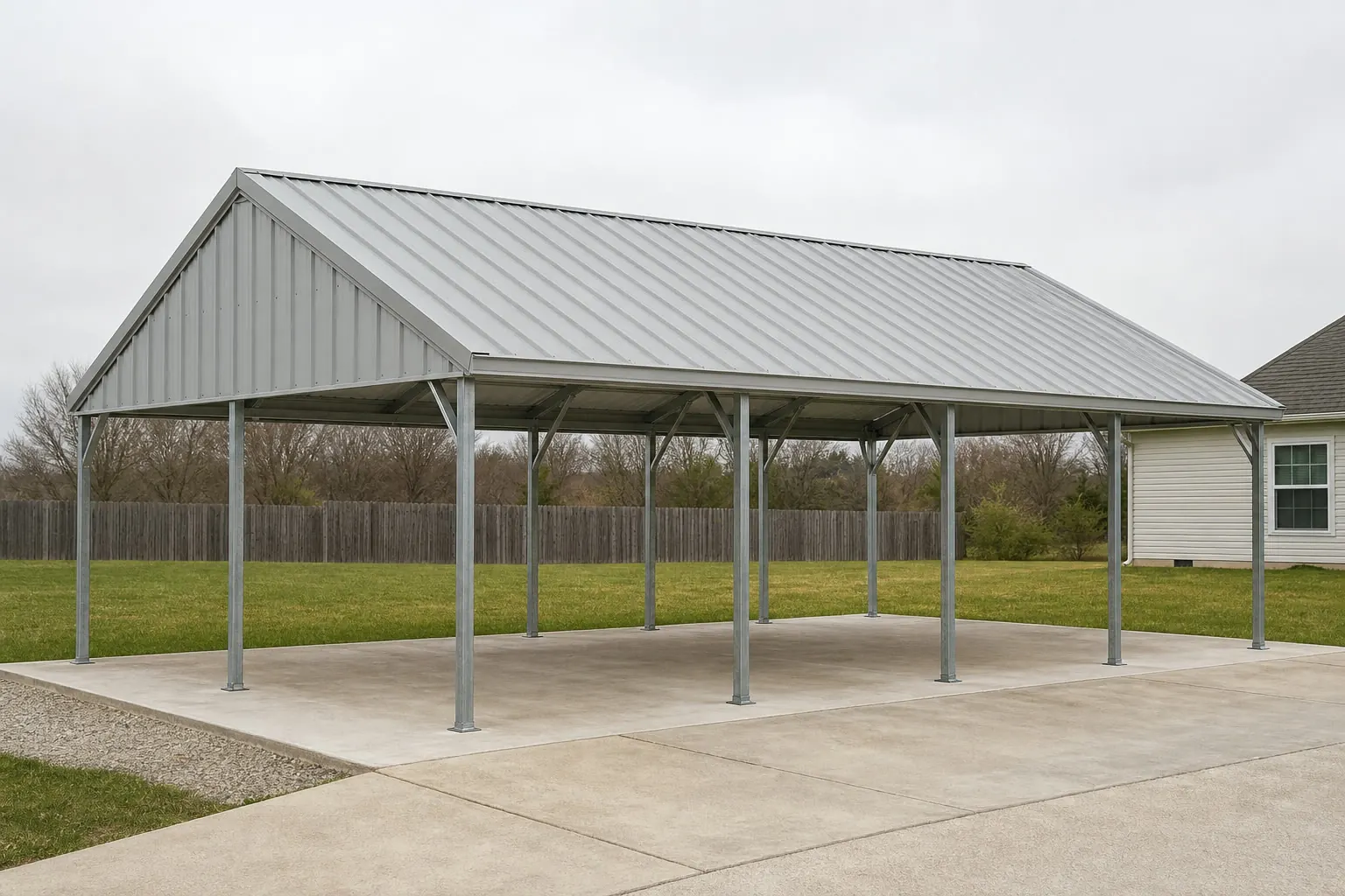
The intersection
An open structure meets Alabama's humidity and hazard mix
A carport's defining vulnerability — no walls to share lateral load — meets a state NOAA describes as humid subtropical with a broad, FEMA-scored hazard profile.
NOAA National Centers for Environmental Information describes Alabama's climate as humid subtropical, with mild winters, hot and humid summers, and precipitation shaped by Gulf of Mexico influence. That narrative does not hand you a single statewide rainfall number, but it does explain why an open carport in Alabama benefits from roof drainage away from anything parked underneath, and why the anchoring hardware and post base deserve corrosion-aware detailing over the structure's life.
FEMA's National Risk Index is built to be queried county by county, and it lists 18 natural hazards — including hurricane, tornado, flooding and wildfire — that can be checked for specific Alabama counties such as Mobile or Jefferson. That tool, not a single statewide wind figure, is the honest way to see how your county's hazard mix compares to a neighboring one, and it is worth checking before you finalize a footprint or an anchoring plan.
Soil is the other variable a carport buyer often overlooks. The Alabama Cooperative Extension System maps seven major soil areas across the state, from the Limestone Valleys and Uplands in the north to the Coastal Plain in the south, with the Black Belt's dense, dark prairie clay running through roughly a dozen to two dozen central counties depending on how it is defined. Clay-heavy ground behaves differently under a post footing than sandier Coastal Plain soil, which is a detail worth mentioning to whoever pours your footings rather than assuming a generic spec will do.
Administratively, Alabama does not centralize carport permitting at the state level in a way this page can generalize about, so the only reliable way to know what your parcel requires — permit threshold, setback, anchoring documentation — is to ask your local building department before you order.
Site context
How carport siting differs across Alabama terrain
The region a carport sits in changes the practical siting conversation more than the building's design does.
Limestone Valleys and Uplands
Northern Alabama terrain with variable rock and soil depth, worth flagging to whoever pours the footings.
Black Belt / Blackland Prairie
Dense, dark prairie clay across roughly a dozen to two dozen central counties, which can affect footing and drainage planning.
Coastal Plain
Sandier soils across the southern half of the state, with FEMA-tracked hurricane and flooding exposure closer to the Gulf.
Piedmont Plateau and Appalachian Plateau
More elevated, rolling terrain in the east and northeast, where grading and drainage around the slab are the recurring items.
Siting
What differs by Alabama region
General planning context only — not an engineering value or a code requirement.
| Region | Dominant condition to plan around | Who confirms specifics |
|---|---|---|
| Coastal Plain / Gulf counties | Hurricane and flooding exposure per FEMA's county-level tool | Local building department; FEMA NRI for hazard context |
| Black Belt | Dense prairie clay soils affecting footings | Local building department; foundation contractor |
| Limestone Valleys / Appalachian Plateau | Variable rock depth and drainage | Local building department |
| Piedmont Plateau | Rolling terrain, general drainage planning | Local building department |
Coastal Plain / Gulf counties
- Dominant condition to plan around
- Hurricane and flooding exposure per FEMA's county-level tool
- Who confirms specifics
- Local building department; FEMA NRI for hazard context
Black Belt
- Dominant condition to plan around
- Dense prairie clay soils affecting footings
- Who confirms specifics
- Local building department; foundation contractor
Limestone Valleys / Appalachian Plateau
- Dominant condition to plan around
- Variable rock depth and drainage
- Who confirms specifics
- Local building department
Piedmont Plateau
- Dominant condition to plan around
- Rolling terrain, general drainage planning
- Who confirms specifics
- Local building department
Get Alabama carport quotes
Tell us your region, soil type and vehicle count. We route it with the Alabama and carport context already attached.
Configuration
What an Alabama carport is usually asked to shelter
Configuration choices should follow what the structure protects and how exposed the site is, not just budget.
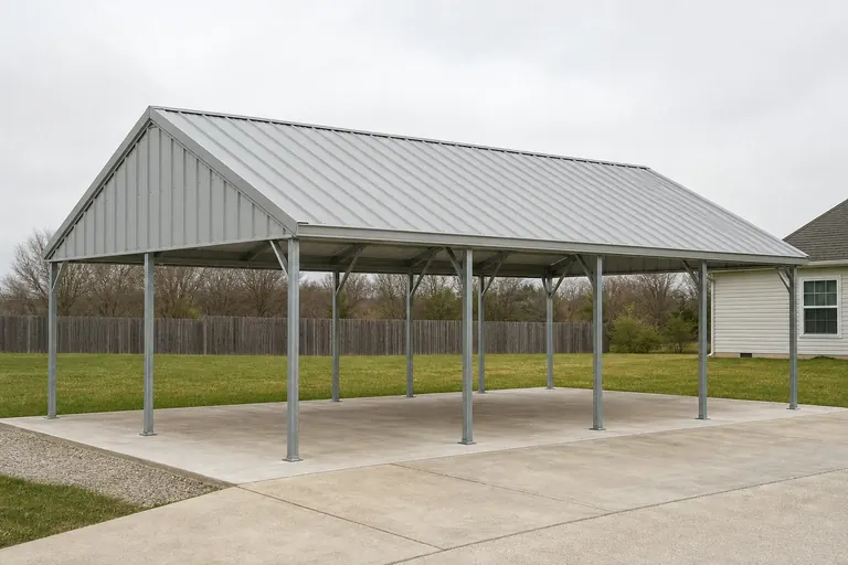 Single passenger vehicleThe smallest, least wind-sensitive footprint, though it still benefits from confirming anchoring on an exposed rural site.
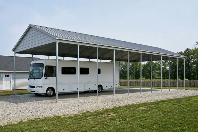 RV or boat storageTaller clearance increases wind exposure at the roof plane; covered in more depth on the dedicated RV carport guide.
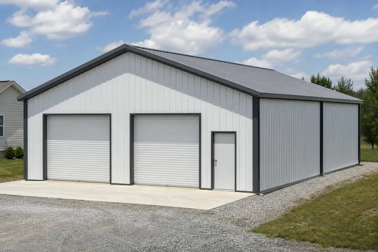 Multi-bay vehicle and equipmentWider spans concentrate more roof area on fewer posts, a detail a local reviewer will want addressed.
Example Configuration — for planning purposes only.
Footprint
Common Alabama carport footprints
Size selection is about vehicle count and clearance, with wind exposure handled as an anchoring and siting decision rather than a size decision.
20′ × 20′
400 sq ft
A single-vehicle footprint sized for one car or truck.
20′ × 30′
600 sq ft
Room for one vehicle plus storage or a workbench along one side.
24′ × 40′
960 sq ft
A two-bay footprint suited to a truck and a second vehicle.
Example Configuration — for planning purposes only.
Footprint pages carry post spacing and bay layout for each size; this page explains only the Alabama siting context.
Preparation
Before you request an Alabama carport quote
Four steps that keep a wind-exposed structure from becoming a re-engineering job mid-project.
Step 1
Ask your local building department about anchoring expectations
Permitting and anchoring documentation are handled locally, so confirm before ordering.
Step 2
Check FEMA's National Risk Index for your county
Hurricane, tornado and flooding scores vary by county, and it is worth knowing your county's mix before siting the structure.
Step 3
Ask about your soil type before setting footings
Black Belt clay and Coastal Plain sand behave differently under a post footing, and your foundation contractor should account for it.
Step 4
Confirm vehicle height and count before fixing dimensions
Clearance and bay count drive the footprint more than aesthetic preference.
Questions
Alabama carport questions
Honest state-level answers, with anchoring and permit specifics routed to the authority that actually sets them.
Anchoring expectations are set by your local building department. Given Alabama's Gulf-influenced climate and FEMA-scored hurricane and tornado exposure, ask about anchoring specifics before finalizing your order.
Permit requirements vary by city and county. Contact your local building department to confirm what applies to your parcel and structure size.
It can. The state's seven mapped soil areas include the Black Belt's dense clay and the Coastal Plain's sandier ground, so it is worth telling your foundation contractor which region your site sits in.
We do not publish state-level prices. Cost depends on size, materials and site conditions; our cost pages explain the drivers and a builder quote covers your specific project.
There is no official typical size. 20x20 for a single vehicle and 24x40 for a two-bay layout are common starting points, but your vehicle count and clearance needs should set the final dimensions.
FEMA's National Risk Index can be queried by county, including Mobile and Baldwin counties near the coast, and shows hurricane and flooding among the scored hazards. Check the tool directly for your county rather than assuming a statewide figure.
Sources for the Alabama facts on this page
This page states no code requirement, wind speed, snow load, permit rule, price or supplier claim. The state-specific facts it does use are listed with their publisher below.
NOAA NCEI publishes a narrative 'Climate of Alabama' describing the state's humid subtropical climate with mild winters and hot, humid summers, and Gulf-influenced precipitation.
NOAA National Centers for Environmental Information (NCEI) · Historical narrative (NCEI climate normals series) · Tier 1
https://www.ncei.noaa.gov/data/climate-normals-deprecated/access/clim60/states/Clim_AL_01.pdfFEMA's National Risk Index is an interactive county/tract-level tool covering 18 natural hazards, including hurricane, tornado, flooding, and wildfire, that can be queried for Alabama counties such as Mobile and Jefferson.
Federal Emergency Management Agency (FEMA) · Current NRI release · Tier 1
https://www.fema.gov/flood-maps/products-tools/national-risk-indexThe Alabama Cooperative Extension System identifies seven major soil areas across the state, including the Limestone Valleys and Uplands, Blackland Prairie, Coastal Plain, Major Flood Plains and Terraces, Coastal Marshes and Beaches, Appalachian Plateau, and Piedmont Plateau, based on an NRCS soil-area map.
Alabama Cooperative Extension System (Auburn University) · ACES reference publication · Tier 2
https://www.aces.edu/blog/topics/crop-production/major-soil-areas-of-alabama/The Alabama Black Belt, named for its dark, rich prairie soils, spans roughly 12 to 21 counties across the central part of the state depending on the criteria used to define it.
Encyclopedia of Alabama (Auburn University / Alabama Humanities Alliance) · Reference article · Tier 2
https://encyclopediaofalabama.org/article/black-belt-region-in-alabama/Alabama's total land area was measured at 50,645.3 square miles as of the 2010 Census.
U.S. Census Bureau · 2010 Census · Tier 1
https://www.census.gov/geographies/reference-files/2010/geo/state-local-geo-guides-2010/alabama.html