
Barndominium · OR
Barndominiums in Oregon
A barndominium is a home first, and in Oregon that home is being sited on one side of a climate line the Cascade Range draws through the middle of the state. NOAA's National Centers for Environmental Information describe the Pacific Ocean as the dominant influence on a mild, varied statewide climate, with the Cascades dividing a wetter western Oregon from a drier eastern Oregon — Portland's own water-year normal runs 36.91 inches of precipitation, a west-side figure that says nothing about conditions east of the mountains. Because a barndominium is residential construction, the Oregon Department of Geology and Mineral Industries' statewide landslide database and its published seismic soil-hazard maps for several Portland-area counties are a genuinely useful, citable starting point for siting research that a shop-only agricultural building would not lean on nearly as hard.
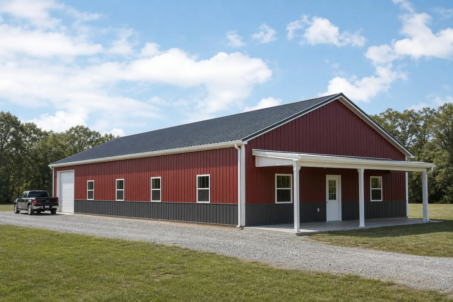
The intersection
Oregon has no single climate to design a barndominium around
NOAA's own narrative for Oregon names the Cascade Range as the reason the state splits into two genuinely different climates, and a barndominium buyer needs to say which one applies before an envelope decision means anything.
NOAA's National Centers for Environmental Information publish a narrative 'Climate of Oregon' that credits the Pacific Ocean with a dominant, moderating influence on the state overall, while naming the Cascade Range as the feature that divides a wetter western Oregon from a noticeably drier eastern Oregon. That is a structural climate description, not a single statewide number, and it is the honest starting point for any Oregon barndominium brief: the same floor plan built on the wet side and the dry side is not the same envelope project.
The closest thing to a representative west-side figure this page can cite comes from NWS Portland's climate book: a 1991-2020 water-year (October through September) normal of 36.91 inches of total precipitation. That is a Portland-area station normal, not an Oregon-wide figure, and this page treats it that way — useful context for west-side siting conversations, irrelevant to a barndominium going up east of the Cascades.
Temperature tells a milder story on the west side. NWS Portland's 1991-2020 normals put average monthly highs between 47.5°F in January and about 82.3°F in August, a range that keeps a Portland-area barndominium's summer cooling load relatively modest compared with the hotter, drier interior. None of this is a design load or a code figure; it is context for how a builder frames insulation, glazing and ventilation choices, which is a conversation to have directly with a designer or builder for the specific site.
Siting
Landslide and seismic soil data are real Oregon resources for residential siting
Because a barndominium is a home, not a farm shed, Oregon's own state-maintained geologic hazard databases are worth building into the site-selection process from the start.
The Oregon Department of Geology and Mineral Industries (DOGAMI) maintains the Statewide Landslide Information Database for Oregon, known as SLIDO, a geologic-hazard mapping resource covering landslide susceptibility across the state. For a residential buyer choosing a parcel, especially on sloped or forested land, SLIDO is a legitimate, state-run tool to check before committing — this page does not rank Oregon's landslide risk statewide, only points to where the state itself publishes the data.
DOGAMI has gone further for part of the state: its 2019 Open-File Report O-19-09 published coseismic landslide susceptibility, liquefaction susceptibility and soil amplification class maps specifically for Clackamas, Columbia, Multnomah and Washington counties, built for use in FEMA's HAZUS loss-estimation methodology. A barndominium buyer siting in that Portland-metro four-county area has unusually specific soil-hazard data available; a buyer siting elsewhere in Oregon should ask DOGAMI or their county what equivalent data, if any, exists for their parcel rather than assuming the same coverage.
- Check SLIDO for the parcel
- DOGAMI's statewide landslide database is a legitimate first stop for any sloped or forested Oregon site.
- Four-county soil mapping
- Clackamas, Columbia, Multnomah and Washington counties have DOGAMI-published seismic soil-hazard maps; other counties should be asked about directly.
- Confirm with your local building department
- Any siting concern the state data raises still routes to your county or city for a build-specific answer.
Design
West-side and east-side envelope choices genuinely differ
A barndominium designed around Portland-area moisture assumptions is a different building than one designed for Oregon's drier interior, and the difference shows up in roof and moisture detailing before anything else.
On the wetter west side, where Portland's 36.91-inch water-year normal is broadly representative of the coastal and Willamette Valley pattern, a barndominium's roof pitch, gutter strategy and covered-entry detailing carry more day-to-day weight than they would in a drier climate. Buyers relocating from an arid state sometimes underestimate how consistently damp the west-side building season can run.
East of the Cascades, NOAA's own narrative describes a drier climate without offering a single normal this page can responsibly cite for that side of the state. What can be said honestly is that a barndominium plan built around west-side moisture assumptions should be reviewed, not copied, if the parcel sits on the dry side — and vice versa. Neither side is a harder build; they are different projects with different priorities.
Get Oregon barndominium quotes
Tell us which side of the Cascades your parcel is on, its terrain, and your living-space-to-shop split. We route it with the Oregon and barndominium context already attached.
Configuration
How Oregon barndominium buyers configure the building
The living-space-to-shop split in Oregon tends to follow the same rural-residential-plus-workspace logic seen nationally, adjusted for which side of the state the parcel sits on.
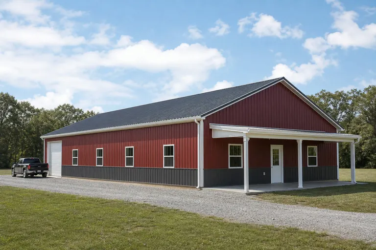 Residence with attached shopA living-space wing paired with a shop or garage bay, common on acreage parcels wanting both a home and workspace under one roof.
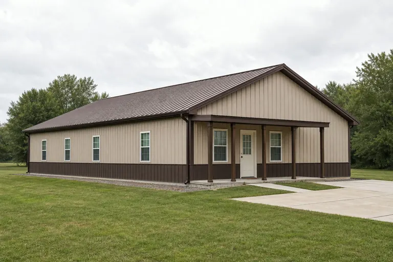 Full residential conversionA build weighted almost entirely toward living space, treated architecturally more like a house than a post-frame shop.Slope-aware sitingLayouts and pad placement adjusted for sloped or forested west-side parcels, where SLIDO and county data are worth checking before the floor plan is finalized.
Example Configuration — for planning purposes only.
Preparation
Before you request an Oregon barndominium quote
These points resolve most of the back-and-forth on an Oregon residential post-frame project.
- Name your side of the CascadesState whether the parcel is west-side (wetter) or east-side (drier) so envelope decisions are made for the right climate.
- Check DOGAMI's SLIDO databaseAny sloped or forested Oregon parcel benefits from checking the state's own landslide database before finalizing a site.
- Ask about county-level soil dataPortland-metro counties have published DOGAMI seismic soil maps; other counties should be asked about directly.
- Contact your local building departmentZoning and residential-use rules for a barndominium vary by county and city; confirm before finalizing a floor plan.
Questions
Oregon barndominium questions
State-level answers we can support with evidence, and the parcel-specific questions routed to whoever actually owns them.
No. NOAA's own 'Climate of Oregon' narrative describes the Cascade Range dividing a wetter western Oregon from a drier eastern Oregon. Name which side your parcel is on before finalizing envelope decisions.
Yes. DOGAMI's Statewide Landslide Information Database (SLIDO) covers landslide susceptibility across Oregon, and DOGAMI has published more detailed seismic soil-hazard maps for Clackamas, Columbia, Multnomah and Washington counties specifically.
Zoning and residential-use rules vary by county and city, and some jurisdictions treat residential post-frame construction differently than agricultural buildings. Your local building or planning department is the only reliable source for what your specific parcel allows.
No. Portland's 36.91-inch water-year normal, published by NWS Portland, is a station-specific figure for the west side. Oregon's climate varies sharply between the wetter west and the drier area east of the Cascades.
We do not publish state-level prices, because a credible number depends on your specification, finish level and current material pricing. Our cost pages cover what drives the number; a quote covers your building.
Sources for the Oregon facts on this page
This page states no code requirement, wind speed, snow load, permit rule, price or supplier claim. The state-specific facts it does use are listed with their publisher below.
NOAA NCEI publishes a narrative 'Climate of Oregon' noting the Pacific Ocean's dominant influence on the state's mild, varied climate and the Cascade Range's role in dividing wet western Oregon from drier eastern Oregon.
NOAA National Centers for Environmental Information (NCEI) · Historical narrative (NCEI climate normals series) · Tier 1
https://www.ncei.noaa.gov/data/climate-normals-deprecated/access/clim60/states/Clim_OR_01.pdfNWS Portland's climate book reports Portland's 1991-2020 normal water-year (Oct 1-Sept 30) total precipitation at 36.91 inches.
National Weather Service (NOAA), Portland OR office · 1991-2020 normal (record from 1872-73) · Tier 1
https://www.weather.gov/media/pqr/climate/ClimateBookPortland/pg96.pdfPortland International Airport's 1991-2020 normal annual maximum temperature averages range from 47.5°F in January to a peak around 82.3°F in August, based on NWS Portland's published daily normals.
National Weather Service (NOAA), Portland OR office · 1991-2020 normals; 1940-2022 extremes · Tier 1
https://www.weather.gov/media/pqr/climate/ClimateBookPortland/pg145.pdfThe Oregon Department of Geology and Mineral Industries (DOGAMI) maintains the Statewide Landslide Information Database for Oregon (SLIDO), a state geologic-hazard mapping resource covering landslide susceptibility statewide.
Oregon Department of Geology and Mineral Industries (DOGAMI) · SLIDO-4.5 released April 12, 2024 · Tier 2
https://www.oregon.gov/dogami/slido/Pages/data.aspxDOGAMI has published coseismic landslide susceptibility, liquefaction susceptibility, and soil amplification class maps for Oregon's Clackamas, Columbia, Multnomah, and Washington counties, for use in FEMA's HAZUS loss-estimation methodology.
Oregon Department of Geology and Mineral Industries (DOGAMI) · 2019 · Tier 2
https://pubs.oregon.gov/dogami/ofr/O-19-09/O-19-09_report.pdf