
Pole barn · OR
Pole Barns in Oregon
A pole barn in Oregon is planned against an agricultural base that is measurably consolidating and a climate that genuinely splits down the middle of the state. USDA's 2022 Census of Agriculture counted 35,547 Oregon farms, down 6% since 2017, working 15,295,779 acres in farms at an average of 430 acres each. NOAA's National Centers for Environmental Information, meanwhile, describe the Cascade Range as the dividing line between a wetter western Oregon and a drier eastern Oregon, with no single statewide precipitation normal that fairly represents both. Those two facts together — fewer, larger farms, and two different climates to build a roof for — are the honest starting point for an Oregon pole barn brief.
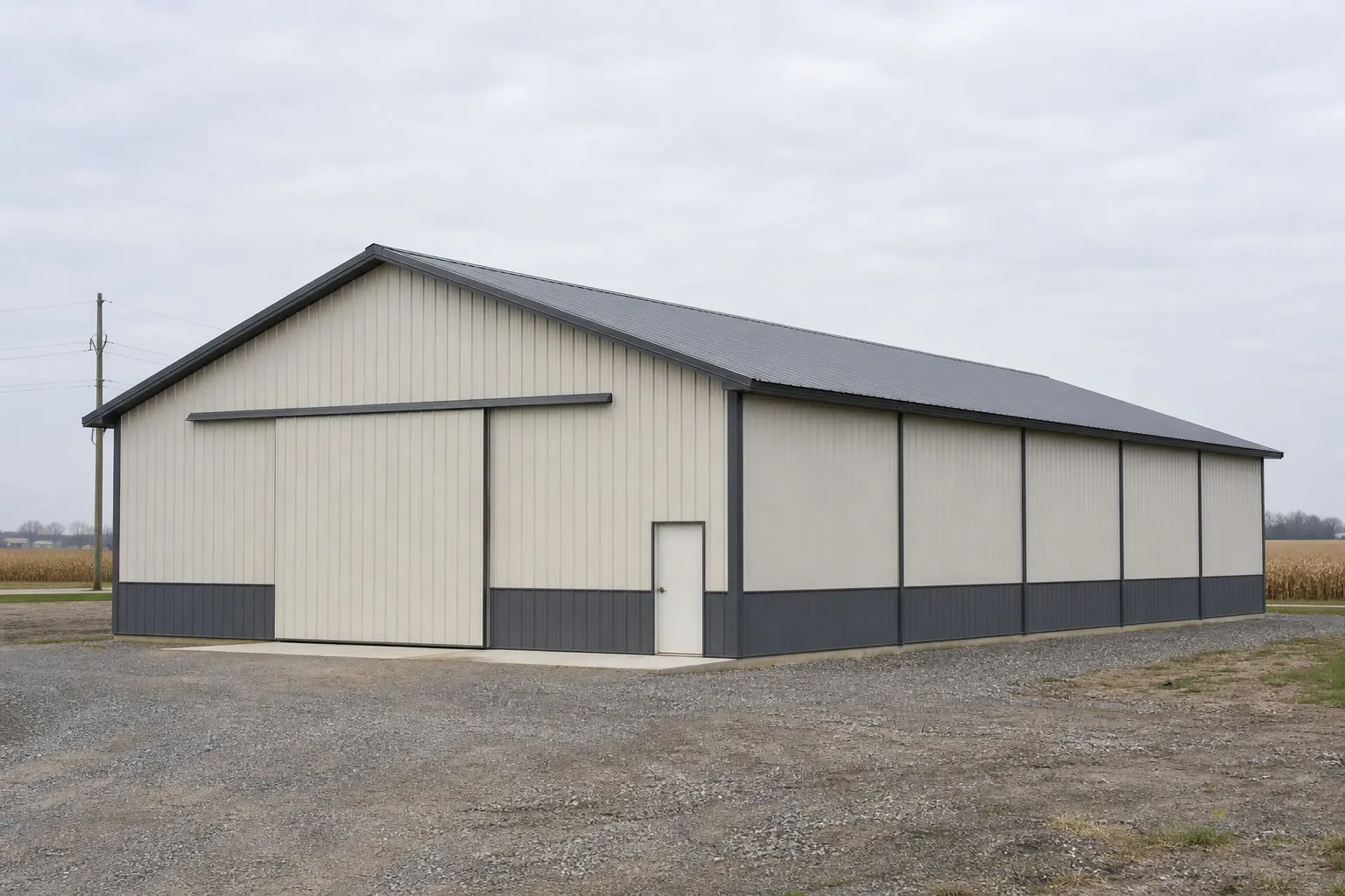
Agricultural base
Fewer, bigger Oregon farms change what a pole barn is asked to do
USDA's own 2022 numbers show Oregon farms consolidating, and a bigger average operation more often justifies a dedicated single-purpose building.
USDA's National Agricultural Statistics Service counted 35,547 farms in Oregon in the 2022 Census of Agriculture, a 6% decline since 2017. Those farms worked 15,295,779 acres in farms combined, an average of 430 acres per operation. Fewer operations working a large total acreage base is consistent with consolidation into bigger farms rather than a broad decline in Oregon farmland itself, which matters for how a pole barn brief gets scoped: a 430-acre-average operation more often has room and reason to justify a building sized for one job — grain storage, a dedicated equipment bay, hay — rather than one small shed asked to do three things.
That does not mean every Oregon pole barn buyer is running a large commercial operation; the census figure is a statewide average, and plenty of smaller acreage-residential and hobby-farm buyers, especially in the Willamette Valley, still want the mixed-use configuration common elsewhere. But the state's own agricultural data supports treating a larger, single-purpose building as at least as reasonable a starting assumption as a smaller mixed-use one, which is a different starting point than in states with much smaller average farms.
Climate
A pole barn roof does a different job on each side of the Cascades
NOAA's own narrative treats Oregon as two climates joined by a mountain range, and that split matters more to a pole barn than to almost any other building decision.
NOAA's National Centers for Environmental Information publish a narrative 'Climate of Oregon' crediting the Pacific Ocean with a dominant, moderating influence overall, while naming the Cascade Range as the reason western Oregon runs wetter and eastern Oregon runs drier. NWS Portland's climate book puts a number on the west-side pattern: a 1991-2020 water-year normal of 36.91 inches of total precipitation at Portland. That figure describes the wetter side of the state only — it is not, and should not be treated as, an Oregon-wide precipitation normal.
On a west-side pole barn, that moisture pattern means roof pitch, gutter placement and slab drainage carry real weight in day-to-day use, not just at the design stage. East of the Cascades, NOAA's narrative describes a drier climate without a single normal this page can responsibly cite for that side, but the practical shift for a pole barn there is away from constant moisture management and toward dust, sun exposure and a drier building envelope generally.
- West-side roof-water routing
- Gutter and drainage detailing matter more on the wetter west side, represented by Portland's 36.91-inch water-year normal.
- East-side dust and sun
- Drier eastern-Oregon operations should shift the conversation toward ventilation and sun exposure rather than runoff.
- State your side of the state
- Tell your builder which climate the parcel sits in rather than assuming a single Oregon-wide answer.
Site context
How the build site differs across Oregon
NOAA's Cascade-divide narrative is a more useful planning lens than county lines alone for anticipating how an Oregon pole barn site will behave.
Willamette Valley and coastal west side
The wetter side of NOAA's Cascade divide, represented in this page by Portland's 36.91-inch water-year normal. Roof-water routing and drainage are the recurring detail here.
Cascade Range
The mountain system NOAA names as the physical line separating Oregon's two climates. Sites near the foothills should be discussed with a local site contractor about grade and access rather than assumed from a valley baseline.
Eastern Oregon high desert
The drier side of the state's climate divide per NOAA's own narrative. A pole barn here is planned around sun, dust and a drier envelope rather than sustained moisture.
Get Oregon post-frame quotes
Tell us which side of the Cascades your site sits on, the scale of the operation and your rough footprint. We route it with the Oregon and pole barn context already attached.
Configuration
What Oregon pole barns are usually asked to do
The realistic configuration depends on which side of the state the parcel sits on and how large the operation is.
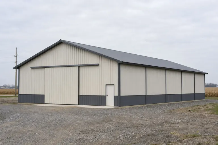 Commodity and equipment storageOn larger, consolidated operations, a clear-span building sized for full-size implements and bulk storage, with door width as the constraint most often regretted if undersized.
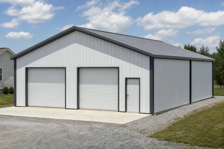 Willamette Valley mixed useOn smaller west-side acreage parcels, a combined equipment-and-workshop building closer to the small-acreage pattern seen in other states.Eastern-Oregon dryland supportBuildings supporting dryland grain or livestock operations on the drier side of the Cascades, where ventilation and sun exposure matter more than moisture detailing.
Example Configuration — for planning purposes only.
Footprint
Sizes that fit Oregon's two farm profiles
Larger average acreage supports pushing many Oregon enquiries toward bigger common footprints, though smaller Willamette Valley parcels still commonly land in the mixed-use range.
30′ × 40′
1,200 sq ft
A common Willamette Valley hobby-farm and small-acreage size.
40′ × 60′
2,400 sq ft
A frequent middle ground for operations with a mid-size equipment fleet.
40′ × 80′
3,200 sq ft
Fits a dedicated equipment or commodity building on a larger, consolidated operation.
60′ × 100′
6,000 sq ft
The scale some larger eastern-Oregon operations reach for dedicated storage buildings.
Example Configuration — for planning purposes only.
Footprint pages carry the layout and door detail for each of these; this page only explains why Oregon enquiries span such a wide range.
Preparation
Before you request an Oregon quote
These points resolve the biggest source of re-quoting on Oregon pole barn projects.
Step 1
Contact your local building department
Oregon's building requirements are applied at the county and jurisdiction level; ask them what your parcel and use require before fixing the specification.
Step 2
Name which side of the Cascades the site is on
West-side moisture planning and east-side dry-climate planning are different conversations; state which one applies to your parcel.
Step 3
State the operation's scale
A small acreage parcel and a several-hundred-acre operation justify different building strategies even for the same nominal use.
Step 4
Check your county's hazard profile
Use FEMA's National Risk Index for your specific one of Oregon's 36 counties rather than assuming a statewide picture.
Questions
Oregon pole barn questions
Honest state-level answers, with the questions that depend on your parcel routed to whoever actually owns them.
USDA's 2022 Census counted 35,547 Oregon farms, down 6% since 2017, working 15,295,779 acres in farms at an average of 430 acres each. That pattern is consistent with consolidation into fewer, larger operations rather than a broad decline in farmland.
The building itself can be similar, but the site planning shouldn't be assumed to transfer. NOAA's own narrative names the Cascade Range as the divide between a wetter western Oregon and a drier eastern Oregon, so discuss drainage and exposure for your specific side of the state.
Permit requirements depend on your county or city jurisdiction, your parcel and how the building will be used. Your local building department is the only reliable source for that answer; we do not state permit thresholds on this page.
There is no single official figure, and Oregon does not have one typical farm profile either. The state's 430-acre average farm size (per USDA's 2022 Census) supports larger single-purpose buildings on many operations, while smaller Willamette Valley parcels more often want a 30x40-style mixed-use building.
We do not publish state-level prices, because a credible number depends on your specification, site work and current material pricing. Our cost pages cover what drives the number; a quote covers your building.
Terrain and hazard exposure are parcel-specific questions. FEMA's National Risk Index provides county-level hazard scoring across 18 hazard types for all 36 Oregon counties; check the FEMA NRI tool for your specific county and confirm any building-specific requirements with your local building department.
Sources for the Oregon facts on this page
This page states no code requirement, wind speed, snow load, permit rule, price or supplier claim. The state-specific facts it does use are listed with their publisher below.
Oregon had 35,547 farms in 2022, down 6% since 2017.
USDA National Agricultural Statistics Service (NASS) · 2022 · Tier 1
https://www.nass.usda.gov/Publications/AgCensus/2022/Online_Resources/County_Profiles/Oregon/cp99041.pdfOregon had 15,295,779 acres of land in farms in 2022, an average farm size of 430 acres.
USDA NASS · 2022 · Tier 1
https://www.nass.usda.gov/Publications/AgCensus/2022/Online_Resources/County_Profiles/Oregon/cp99041.pdfNOAA NCEI publishes a narrative 'Climate of Oregon' noting the Pacific Ocean's dominant influence on the state's mild, varied climate and the Cascade Range's role in dividing wet western Oregon from drier eastern Oregon.
NOAA National Centers for Environmental Information (NCEI) · Historical narrative (NCEI climate normals series) · Tier 1
https://www.ncei.noaa.gov/data/climate-normals-deprecated/access/clim60/states/Clim_OR_01.pdfNWS Portland's climate book reports Portland's 1991-2020 normal water-year (Oct 1-Sept 30) total precipitation at 36.91 inches.
National Weather Service (NOAA), Portland OR office · 1991-2020 normal (record from 1872-73) · Tier 1
https://www.weather.gov/media/pqr/climate/ClimateBookPortland/pg96.pdfFEMA's National Risk Index is the authoritative source for county- and state-level natural hazard exposure ratings across 18 hazard types, viewable via FEMA's own interactive report tool.
Federal Emergency Management Agency (FEMA) · Current NRI release · Tier 1
https://www.fema.gov/flood-maps/products-tools/national-risk-index