
Carport · OR
Carports in Oregon
An open-sided carport does one job — keep weather off whatever sits under it — and in Oregon that job changes shape depending on where the parcel is and what the ground beneath it is doing. NOAA's Portland station normals put the water-year precipitation total at 36.91 inches and January-to-August normal highs ranging from 47.5°F to 82.3°F, figures NOAA's own 'Climate of Oregon' narrative frames as representative of a wetter west shaped by the Cascade Range dividing it from a drier eastern half of the state. Separately, the Oregon Department of Geology and Mineral Industries maintains a statewide landslide database and has published county-level seismic soil maps, both of which are worth checking before a lightweight structure's footings go in the ground, not because a carport carries unusual load, but because unstable or amplification-prone ground is a siting question regardless of what gets built on it.
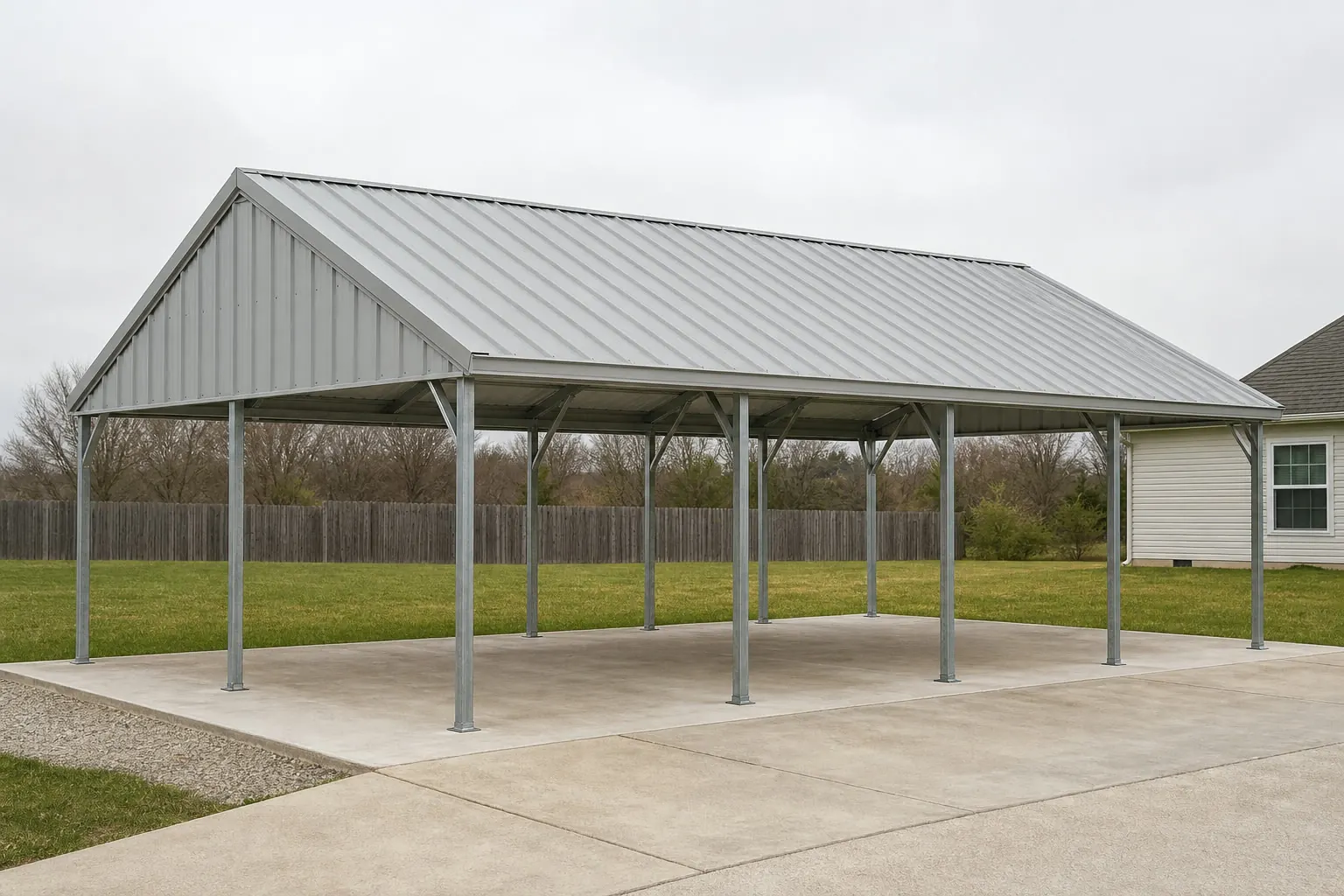
The intersection
A Cascade-divided climate sets two different drainage briefs
Oregon's own climate narrative splits the state at the Cascades, and Portland's station normals give that split a concrete number a carport buyer can actually plan against.
NOAA's 'Climate of Oregon' narrative attributes the state's mild but genuinely varied weather to the Pacific Ocean's influence and to the Cascade Range's role in dividing a wetter western Oregon from a drier eastern half. That framing matters for a carport specifically because the structure's entire function is weather protection: on the wetter side, represented by Portland's 36.91-inch normal water-year precipitation total, an open roof is shedding water across a large share of the calendar, which makes gutter placement and discharge routing worth deciding deliberately rather than defaulting to whatever ships with a base package.
Portland's normal daily high temperatures, per NWS Portland's published station data, range from about 47.5°F in January to roughly 82.3°F in August — a moderate swing that keeps heat less central to west-side carport planning than it would be in a hotter climate. East of the Cascades, where NOAA describes a drier pattern, the same open structure is instead managing sun exposure and dust accumulation over a longer dry season, with drainage a secondary concern. This page does not have a single statewide precipitation or temperature figure to offer, because Oregon genuinely does not have one that fairly describes both halves of the state — which is the reason to start any Oregon carport conversation by naming which side of the Cascades the site sits on.
Site diligence
Check DOGAMI's landslide and soil maps before the pad goes in
A carport is a light structure, but the ground it sits on is a genuine Oregon-specific variable worth checking regardless of how little load the building itself carries.
The Oregon Department of Geology and Mineral Industries maintains the Statewide Landslide Information Database for Oregon (SLIDO), a mapping resource that tracks landslide susceptibility across the entire state. For a carport pad on sloped or previously disturbed ground, a quick SLIDO lookup before excavation is a reasonable, low-cost step — not because a carport is heavy, but because unstable ground is unstable regardless of what is eventually built on it.
DOGAMI has also published coseismic landslide susceptibility, liquefaction susceptibility and soil amplification class maps covering Clackamas, Columbia, Multnomah and Washington counties specifically. A carport sited in one of those counties has an actual county-level map to reference; outside them, the same diligence still applies, but through SLIDO's statewide layer rather than the county-specific seismic soil products. None of this is a substitute for a geotechnical opinion on a specific parcel — it is simply the correct public dataset to start from before a contractor discusses footing design.
- SLIDO lookup
- Check DOGAMI's statewide landslide database for the parcel before any excavation begins.
- County seismic soil maps
- Clackamas, Columbia, Multnomah and Washington counties have published soil-amplification and liquefaction maps worth a direct look.
- Geotechnical opinion
- For sloped or previously disturbed ground, a local geotechnical engineer's read is worth more than any statewide map alone.
Configuration
How an Oregon carport brief differs by property and site
A driveway carport, a rural equipment bay and an RV cover are answering different questions, and Oregon's land base supports all three.
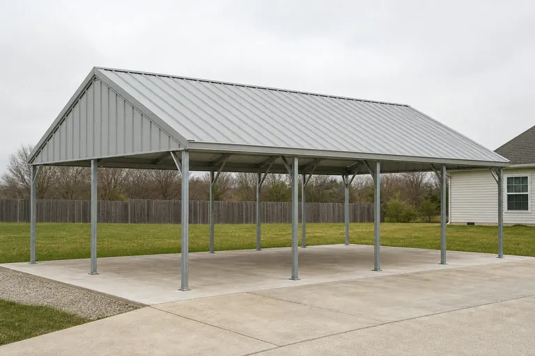 Residential driveway carportA single- or double-bay cover where west-side roof-water routing or east-side sun exposure is the main design variable, depending on which side of the Cascades the lot sits on.Rural equipment carportSized for a tractor, trailer or truck-and-implement combination, relevant on Oregon's larger farm parcels — the 2022 Census of Agriculture put the state's average farm size at 430 acres — where bay width and clearance height matter more than footprint alone.
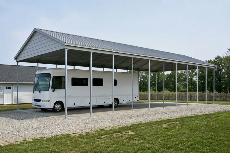 RV or boat carportTaller clearance and a longer bay, with the same climate-divide and ground-check questions applying as for a standard carport.
Example Configuration — for planning purposes only.
Get Oregon carport quotes
Tell us which side of the Cascades your site is on and whether the ground has any slope. We route it with the Oregon and carport context already attached.
Comparison
How the Cascade divide changes an Oregon carport's priorities
The open structure itself does not change; what it is fighting does.
| Side of the Cascades | Primary weather task | Secondary consideration |
|---|---|---|
| Western Oregon (wetter) | Shedding sustained rain across most of the year | Gutter and discharge routing away from parked vehicles or stored equipment |
| Eastern Oregon (drier) | Sun exposure and dust accumulation over a longer dry season | Orientation to reduce peak-sun exposure on the open side |
| Sloped or previously disturbed ground (either side) | Confirming pad stability before excavation | SLIDO or county seismic soil map lookup through DOGAMI |
Western Oregon (wetter)
- Primary weather task
- Shedding sustained rain across most of the year
- Secondary consideration
- Gutter and discharge routing away from parked vehicles or stored equipment
Eastern Oregon (drier)
- Primary weather task
- Sun exposure and dust accumulation over a longer dry season
- Secondary consideration
- Orientation to reduce peak-sun exposure on the open side
Sloped or previously disturbed ground (either side)
- Primary weather task
- Confirming pad stability before excavation
- Secondary consideration
- SLIDO or county seismic soil map lookup through DOGAMI
Preparation
Before you request an Oregon carport quote
These points shorten the path to a comparable quote.
- State which side of the Cascades your site is onWestern and eastern Oregon carports face genuinely different weather priorities.
- Check DOGAMI's SLIDO map for your parcelA quick landslide-susceptibility lookup is worthwhile before a pad is poured on sloped ground.
- Note your county for seismic soil mappingClackamas, Columbia, Multnomah and Washington counties have published county-level maps worth reviewing directly.
- Check with your local building departmentPermit and setback questions are jurisdiction-specific; we do not state them here.
Questions
Oregon carport questions
Honest state-level answers, with jurisdiction-specific and site-specific items routed to whoever actually owns them.
The structure itself is similar, but the weather priority differs: western Oregon, represented by Portland's 36.91-inch water-year precipitation normal, favors stronger roof-water routing, while eastern Oregon leans toward sun and dust management.
It is worth checking, especially on sloped or previously disturbed ground. DOGAMI's statewide SLIDO database maps landslide susceptibility across Oregon and is a reasonable first stop before excavation.
DOGAMI has published coseismic landslide, liquefaction and soil-amplification maps for Clackamas, Columbia, Multnomah and Washington counties specifically. Outside those counties, SLIDO's statewide layer is the resource to check.
Permit requirements depend on your city or county jurisdiction and the carport's size and placement. Your local building department is the only reliable source for that answer.
We do not publish state-level prices; cost depends on size, materials and site work. Our cost pages explain what drives the number.
Yes. A rural equipment carport is typically sized for taller, wider equipment like a tractor or loaded trailer, which is common on Oregon's larger farm parcels, while a driveway carport is sized around one or two household vehicles.
Sources for the Oregon facts on this page
This page states no code requirement, wind speed, snow load, permit rule, price or supplier claim. The state-specific facts it does use are listed with their publisher below.
NOAA NCEI publishes a narrative 'Climate of Oregon' noting the Pacific Ocean's dominant influence on the state's mild, varied climate and the Cascade Range's role in dividing wet western Oregon from drier eastern Oregon.
NOAA National Centers for Environmental Information (NCEI) · Historical narrative (NCEI climate normals series) · Tier 1
https://www.ncei.noaa.gov/data/climate-normals-deprecated/access/clim60/states/Clim_OR_01.pdfNWS Portland's climate book reports Portland's 1991-2020 normal water-year (Oct 1-Sept 30) total precipitation at 36.91 inches.
National Weather Service (NOAA), Portland OR office · 1991-2020 normal (record from 1872-73) · Tier 1
https://www.weather.gov/media/pqr/climate/ClimateBookPortland/pg96.pdfOregon had 15,295,779 acres of land in farms in 2022, an average farm size of 430 acres.
USDA NASS · 2022 · Tier 1
https://www.nass.usda.gov/Publications/AgCensus/2022/Online_Resources/County_Profiles/Oregon/cp99041.pdfThe Oregon Department of Geology and Mineral Industries (DOGAMI) maintains the Statewide Landslide Information Database for Oregon (SLIDO), a state geologic-hazard mapping resource covering landslide susceptibility statewide.
Oregon Department of Geology and Mineral Industries (DOGAMI) · SLIDO-4.5 released April 12, 2024 · Tier 2
https://www.oregon.gov/dogami/slido/Pages/data.aspxDOGAMI has published coseismic landslide susceptibility, liquefaction susceptibility, and soil amplification class maps for Oregon's Clackamas, Columbia, Multnomah, and Washington counties, for use in FEMA's HAZUS loss-estimation methodology.
Oregon Department of Geology and Mineral Industries (DOGAMI) · 2019 · Tier 2
https://pubs.oregon.gov/dogami/ofr/O-19-09/O-19-09_report.pdf