
Barndominium · AR
Barndominiums in Arkansas
An Arkansas barndominium sits in one of two genuinely different site conditions, and which one shapes the foundation conversation before floor plan does. USGS describes the eastern Arkansas Delta as part of the Mississippi Alluvial Plain — low, flat ground with a long flood history — while the Ozark Plateau and Ouachita Mountains to the west and north carry higher, more varied terrain. Add a farm base that has consolidated toward fewer, larger holdings (37,756 farms averaging 363 acres, both figures moving in opposite directions since 2017) and a hazard picture that FEMA only publishes at the county level across Arkansas's 75 counties, and the honest starting point for a barndominium here is: confirm which Arkansas you are actually building in.
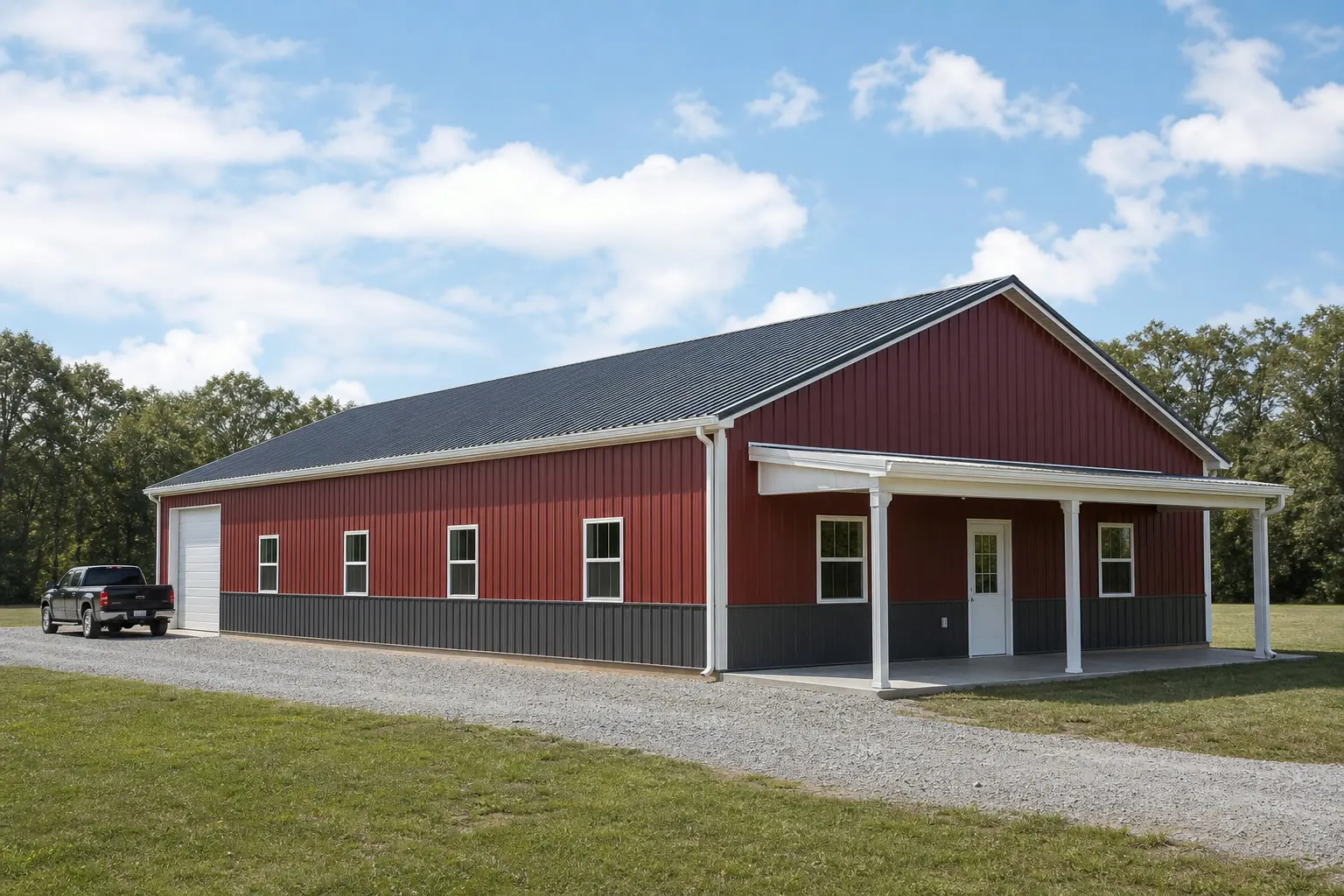
The intersection
Two Arkansas site conditions, one building type
A barndominium foundation, drainage plan and access route look different depending on which half of Arkansas the parcel sits in.
USGS's regional physiographic framework places the eastern Arkansas Delta inside the Mississippi Alluvial Plain — a province it describes as low, flat and historically flood-prone. That is a meaningfully different starting condition from the Ozark Plateau and Ouachita Mountains to the west and north, where the same framework describes higher, more varied ground. Neither condition is better or worse for a barndominium; they simply call for different first questions.
On Delta ground, the practical conversation starts with drainage and flood exposure: where water goes during heavy rain, whether the pad needs to sit above grade, and what a local floodplain determination requires before a foundation type is chosen. On Ozark or Ouachita ground, the conversation shifts toward slope, cut-and-fill and equipment access, since a barndominium footprint on rolling or hilly land often needs more site prep than the structure itself.
Arkansas's 52,035.5 square miles of land area mean this is not a same-county contrast — a buyer near Jonesboro or Helena in the Delta and a buyer near Fayetteville or Mena in the uplands are answering genuinely different site questions before either one gets to floor plan.
Site context
What to check before choosing a foundation
Neither condition below is a rule for your specific parcel — both are starting questions worth raising with a site contractor and your local building department.
| Condition | What USGS describes | First planning question |
|---|---|---|
| Delta / Mississippi Alluvial Plain (east) | Low, flat, historically flood-prone floodplain terrain | Does the parcel need a floodplain determination before foundation type is set? |
| Ozark Plateau / Ouachita Mountains (west, north) | Higher, more varied terrain distinct from the Delta | How much grading or cut-and-fill does the specific pad site need? |
| Either condition | FEMA's National Risk Index is published at county/tract level | Has the specific county been checked, rather than assumed from a neighboring county? |
Delta / Mississippi Alluvial Plain (east)
- What USGS describes
- Low, flat, historically flood-prone floodplain terrain
- First planning question
- Does the parcel need a floodplain determination before foundation type is set?
Ozark Plateau / Ouachita Mountains (west, north)
- What USGS describes
- Higher, more varied terrain distinct from the Delta
- First planning question
- How much grading or cut-and-fill does the specific pad site need?
Either condition
- What USGS describes
- FEMA's National Risk Index is published at county/tract level
- First planning question
- Has the specific county been checked, rather than assumed from a neighboring county?
Program
Fewer, larger farms change the barndominium brief
USDA's 2022 Census of Agriculture counted 37,756 Arkansas farms, down 11% from 2017, while the average farm size rose 12% to 363 acres — a consolidation pattern toward fewer, larger holdings.
That shift matters for a barndominium because a larger average parcel gives more room to decide, deliberately, whether the building is a residence only or a residence paired with an attached shop, equipment bay or covered parking. On a shrinking number of larger farms, it is increasingly common for one structure to be asked to do both jobs rather than sit alongside several smaller single-purpose buildings.
That decision is a program and site-plan question, not a code one, and it is worth resolving before requesting quotes: a barndominium priced as a residence-only project and one priced as a residence-plus-shop project are not comparable numbers, and the difference shows up in floor plan, utility routing and how the two halves of the building are insulated and ventilated.
- Decide attached vs. separate early
- An attached shop changes structural and fire-separation planning differently than a standalone building on the same larger parcel.
- Plan utilities for the whole parcel
- Well, septic and service-drop routing on a larger holding often costs more in distance than in complexity.
Get Arkansas barndominium quotes
Tell us whether your site is in the Delta or the uplands, whether the plan includes attached shop space, and your target footprint. We route it with the Arkansas and barndominium context already attached.
Hazard data
Checking hazard data across 75 counties
FEMA's National Risk Index covers 18 natural hazards, including tornado, riverine flooding and earthquake, but Arkansas's data has to be pulled per county rather than read as one statewide figure.
Delta counties
Riverine flooding is a documented feature of the Mississippi Alluvial Plain; check the specific county's NRI page rather than assuming risk from the region's reputation alone.
Upland counties
Ozark and Ouachita counties carry a different terrain profile; NRI scoring for tornado and other hazards still needs to be checked per county, since the Delta's flood profile does not describe the uplands.
Any Arkansas county
FEMA's own state-level hazard-ranking narrative was not directly retrievable for this page, so the tool itself — queried for your county — is the reliable source, not a summary written here.
Configuration
Common Arkansas barndominium configurations
The Delta/upland split and the larger average parcel show up in which configurations get requested.
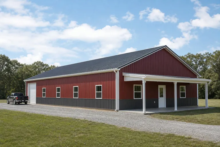 House with attached shopA residential wing paired with equipment or storage space, common on the larger, consolidated parcels the 2022 farm data describes.Elevated-pad Delta residenceA standalone house sited with drainage and floodplain status confirmed first, common in the eastern Delta counties.Upland residence on graded groundA house sited on Ozark or Ouachita terrain, where cut-and-fill and access road grade are resolved before the building footprint is finalized.
Example Configuration — for planning purposes only.
Footprint
Sizes suited to Arkansas's larger average parcel
A 363-acre average farm removes the tight-lot constraint that limits barndominium sizing in denser states, so Arkansas footprints trend toward combined residence-and-shop programs where the site supports it.
30′ × 40′
1,200 sq ft
A compact residential-only footprint for a smaller household or a Delta site prioritizing an elevated, simple pad.
40′ × 60′
2,400 sq ft
Room for a modest attached shop or garage bay alongside the residence.
40′ × 80′
3,200 sq ft
A larger house-plus-shop combination suited to a consolidated, larger parcel.
50′ × 100′
5,000 sq ft
The upper end for a full residence-and-workspace program on substantial acreage.
Example Configuration — for planning purposes only.
Footprint pages carry room-count and layout detail; this page explains why the Arkansas brief tends toward these sizes.
Questions
Arkansas barndominium questions
Answered honestly at state level; code, permit and floodplain specifics route to your local building department.
USGS describes the eastern Arkansas Delta as low, flat and historically flood-prone, while the Ozark Plateau and Ouachita Mountains carry higher, more varied terrain. The two conditions raise different drainage and grading questions, but the actual foundation requirement for your parcel is set by a site visit and your local building department, not this page.
Permit requirements depend on your specific county and jurisdiction. We do not state permit thresholds on this page; your local building department is the reliable source.
FEMA's National Risk Index publishes county- and tract-level data for all 75 Arkansas counties covering 18 hazards, including tornado, riverine flooding and earthquake. Query the tool directly for your county rather than relying on a regional summary.
USDA's 2022 Census of Agriculture shows Arkansas consolidating toward fewer, larger farms (37,756 farms averaging 363 acres). That pattern reflects the kind of larger parcels many Arkansas barndominium buyers are already building on, which is why this page discusses combined residence-and-shop programs.
There is no official typical size. Because Arkansas parcels often support a combined residence-and-shop program, sizes on this page run from a compact 30x40 up through 50x100 depending on whether workspace is part of the brief.
Sources for the Arkansas facts on this page
This page states no code requirement, wind speed, snow load, permit rule, price or supplier claim. The state-specific facts it does use are listed with their publisher below.
The Arkansas Delta in the eastern part of the state lies within the Mississippi Alluvial Plain, a low, flat, historically flood-prone floodplain region distinct from the higher Ozark Plateau and Ouachita Mountains to the west.
U.S. Geological Survey (USGS) · Originally published 1923; USGS reference · Tier 1
https://pubs.usgs.gov/bul/0730d/report.pdfArkansas's total land area was measured at 52,035.5 square miles as of the 2010 Census.
U.S. Census Bureau · 2010 Census · Tier 1
https://www.census.gov/geographies/reference-files/2010/geo/state-local-geo-guides-2010/arkansas.htmlArkansas had 13,722,525 acres of land in farms in 2022, an average farm size of 363 acres, up 12% from 2017.
USDA NASS · 2022 · Tier 1
https://www.nass.usda.gov/Publications/AgCensus/2022/Online_Resources/County_Profiles/Arkansas/cp99005.pdfArkansas had 37,756 farms in 2022, down 11% from 2017.
USDA National Agricultural Statistics Service (NASS) · 2022 · Tier 1
https://www.nass.usda.gov/Publications/AgCensus/2022/Online_Resources/County_Profiles/Arkansas/cp99005.pdfFEMA's National Risk Index is an interactive county/tract-level tool covering 18 natural hazards, including tornado, riverine flooding, and earthquake, that can be queried for Arkansas's 75 counties.
Federal Emergency Management Agency (FEMA) · Current NRI release · Tier 1
https://www.fema.gov/flood-maps/products-tools/national-risk-indexNOAA NCEI's 1991-2020 climate normals for Little Rock Adams Field list station-level monthly and annual temperature, precipitation, and degree-day data for the Little Rock area.
NOAA National Centers for Environmental Information (NCEI) · 1991-2020 · Tier 1
https://www.ncei.noaa.gov/access/services/data/v1?dataset=normals-monthly-1991-2020&endDate=9996-12-31&format=pdf&startDate=0001-01-01&stations=USW00013963