
Pole barn · ID
Pole Barns in Idaho
Idaho farmland is consolidating. USDA's 2022 Census of Agriculture counted 22,877 farms, down 8% from 2017, but average operation size climbed to 505 acres, up 8% over the same period — fewer, larger farms working more acreage each. That trend matters for a pole barn because it usually means one bigger building replacing what used to be two or three smaller ones, sized against real equipment rather than a modest hobby-farm footprint. Where that building sits also matters: the Idaho Geological Survey documents three distinct statewide terrain types, and a pole barn's site-preparation and foundation conversation changes meaningfully depending on which one the parcel falls in. This page works through both.
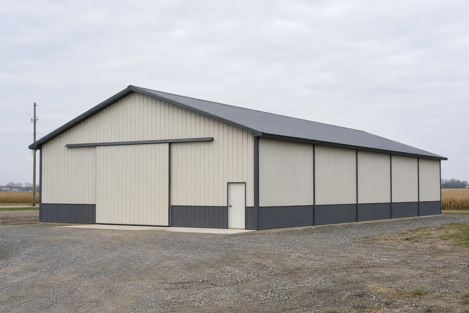
Fewer Farms, More Acres, Bigger Buildings
The number that should reset a buyer's expectations is not Idaho's average farm size on its own but the direction it's moving. USDA's 2022 Census of Agriculture recorded 22,877 farms, down 8% from 2017, while the acreage per farm climbed 8% to 505 acres. That's consolidation: fewer operations working more ground each, typically with larger equipment than the operation replaced. A pole barn planned today should be sized for where that trend is heading, not for what the previous, smaller operation needed. Measure the actual equipment the barn must hold, including anything recently added as acreage expanded, before settling on a footprint. That shift also changes what counts as typical: a building sized for a smaller operation five years ago may already be undersized for the same farm today.
Site geology
Idaho's terrain zones change the foundation conversation
The Idaho Geological Survey documents three distinct terrain types statewide, and a pole barn's post-frame foundation plan should reflect which one the site sits in.
Southern Idaho sits largely within familiar Basin and Range rangeland structure, where local slope still varies enough to warrant a site visit before grading assumptions are locked in. The Snake River Plain cuts a wide volcanic arc through the state's middle, and USGS ties its geologic history to the Yellowstone hotspot track — a parcel there can mean shallow basalt or unusual drainage that changes how deep posts need to go and how water moves away from the building. Central and northern Idaho fall within the mountainous Idaho batholith, where slope and access grading, not the building package itself, are frequently the larger line item in the budget.
None of that determines an actual post depth, spacing or footing size — those are decisions for a local engineer or supplier working from your soil conditions — but knowing which zone a parcel sits in is the first useful question to ask before a design gets fixed.
That terrain variation compounds with the consolidation trend described above. A larger, consolidated operation moving heavier equipment onto Snake River Plain ground may need a different post-embedment approach than the same size building on Basin and Range soil, simply because the two zones drain and bear load differently. Confirming the zone before finalizing post spacing avoids designing to the wrong soil assumption.
Site planning
Siting an Idaho pole barn around consolidation and terrain
Six items worth resolving before a pole barn design is finalized on a consolidating Idaho operation.
- Size doors and eave height for the largest current implementWith average acreage up 8% since 2017, equipment lists have likely grown too; measure the tallest, widest machine before fixing dimensions.
- Identify your terrain zoneConfirm whether the site is on the Snake River Plain, Basin and Range terrain, or batholith mountain ground using the Idaho Geological Survey's statewide map.
- Get a geotechnical check on volcanic-plain sitesShallow basalt or unusual drainage on the Snake River Plain can change post-embedment depth; don't assume standard specs apply.
- Don't rely on the Boise climate normal for other regionsNOAA's 11.5-inch precipitation and 17.6-inch snowfall normal is a single low-elevation valley station and explicitly does not represent northern or mountain Idaho.
- Confirm design values with your countySnow load, wind speed and frost depth are county-level determinations; ask your local building official directly.
- Plan for travel distance on rural sitesAt about 19 people per square mile statewide, delivery and crew scheduling can take longer in less-populated counties than the acreage alone suggests.
- Confirm whether bulk storage needs affect layoutIdaho's #1 national ranking in alfalfa hay and top-tier barley production mean many pole barns split space between equipment parking and bulk storage; decide that split before door placement is finalized.
Get Idaho pole barn quotes
Give suppliers your equipment dimensions, your county and your terrain zone. Door size, foundation approach and site work are what separate real Idaho quotes.
Footprints
Pole barn footprints for a consolidating Idaho operation
These reflect a trend toward fewer, larger buildings on growing average acreage rather than a fixed hobby-farm size.
30′ × 50′
1,500 sq ft
A working building for a smaller operation or a secondary structure alongside an existing barn.
40′ × 80′
3,200 sq ft
A common main-equipment building sized for a consolidating operation's growing machinery list.
60′ × 100′
6,000 sq ft
For larger operations where equipment must be parked side by side without shuffling.
Example Configuration — for planning purposes only.
Door height and width should be set from your actual equipment list, not from the footprint alone, and should be rechecked whenever the operation adds new machinery.
Geography
Idaho's terrain zones at a glance
A short summary of the three zones the Idaho Geological Survey documents statewide.
Snake River Plain
A broad volcanic arc through the state's middle, tied by USGS to the Yellowstone hotspot track. Expect a geotechnical conversation about basalt and drainage before fixing a foundation approach.
Basin and Range (south)
More typical rangeland relief, though local slope still varies enough to warrant a site visit rather than a regional assumption.
Central Idaho batholith (mountains)
Mountainous terrain to the north and center where access grading, not the building itself, is usually the dominant site-prep cost.
Questions
Idaho pole barn questions
State-level answers, with jurisdiction-specific questions routed to whoever actually owns that decision.
USDA's 2022 Census of Agriculture recorded 22,877 farms, down 8% from 2017, while average farm size rose 8% to 505 acres — fewer operations working more ground each, a consolidation pattern worth factoring into how a pole barn is sized, especially for a buyer replacing an older, smaller building.
Yes. The Idaho Geological Survey documents three distinct terrain zones statewide — southern Basin and Range, the volcanic Snake River Plain, and the central Idaho batholith mountains — each with different foundation and site-access implications.
Not reliably. NOAA's 1991-2020 normal for Boise Air Terminal is a single low-elevation valley station; it does not represent northern or mountain Idaho, where snow accumulation is meaningfully different.
That's a county-level determination. Ask your local building official directly rather than relying on any statewide figure, since Idaho's terrain and elevation vary widely.
FEMA's National Risk Index tracks 18 hazard types, including wildfire, at the county and tract level for Idaho. Use FEMA's own NRI tool for a citable figure specific to your parcel.
Sources for the Idaho facts on this page
This page states no code requirement, wind speed, snow load, permit rule, price or supplier claim. The state-specific facts it does use are listed with their publisher below.
Idaho had 22,877 farms in 2022, down 8% from 2017, covering 11,547,963 acres of land in farms (down 1%), with an average farm size of 505 acres (up 8%).
USDA National Agricultural Statistics Service (NASS) · 2022 · Tier 1
https://www.nass.usda.gov/Publications/AgCensus/2022/Online_Resources/County_Profiles/Idaho/cp99016.pdfIdaho's 2022 Census of Agriculture market value of products sold totaled about $10.9 billion, ranking Idaho 19th of 50 states in agricultural sales.
USDA NASS · 2022 · Tier 1
https://www.nass.usda.gov/Publications/AgCensus/2022/Online_Resources/County_Profiles/Idaho/cp99016.pdfThe Idaho Geological Survey's statewide Geologic Map of Idaho documents the state's varied terrain, spanning Basin and Range structures in the south, the volcanic Snake River Plain, and the mountainous central Idaho batholith terrain to the north.
Idaho Geological Survey, University of Idaho · 2012 · Tier 2
https://idahogeology.org/pub/Maps/Geologic_Map_of_ID_booklet_3.pdfIdaho's total land area was measured at 82,643.12 square miles as of the 2010 Census, the 11th largest of any U.S. state, with a population density of only about 19.0 persons per square mile.
U.S. Census Bureau · 2010 Census · Tier 1
https://www.census.gov/geographies/reference-files/2010/geo/state-local-geo-guides-2010/idaho.htmlBoise's 1991-2020 annual climate normal precipitation is about 11.5 inches with roughly 17.6 inches of annual snowfall, reflecting the semi-arid Treasure Valley climate.
NOAA National Centers for Environmental Information (NCEI) · 1991-2020 · Tier 1
https://www.ncei.noaa.gov/access/services/data/v1?dataset=normals-monthly-1991-2020&dataTypes=MLY-PRCP-NORMAL,MLY-SNOW-NORMAL&format=csv&stations=USW00024131FEMA's National Risk Index platform (hazards.fema.gov) is the authoritative county/tract-level source for Idaho natural hazard exposure scores across 18 hazard types, including hazard categories such as wildfire, landslide, and earthquake that are tracked for Idaho specifically.
Federal Emergency Management Agency (FEMA) · Current NRI dataset · Tier 1
https://www.fema.gov/flood-maps/products-tools/national-risk-index