
Carport · ID
Carports in Idaho
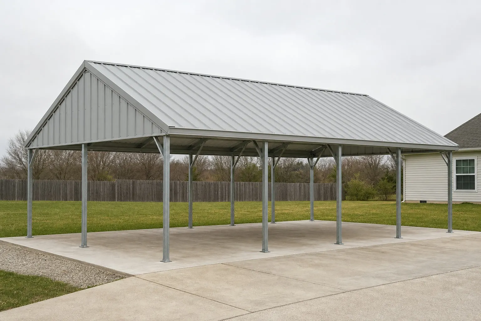
A carport in Idaho is easy to draw and harder to site correctly, because the state's 82,643 square miles cover three genuinely different landscapes: the volcanic Snake River Plain cutting across the south, the mountainous batholith terrain to the north, and Basin and Range country in between. The one widely cited climate figure for the state — Boise's roughly 11.5 inches of annual precipitation and 17.6 inches of snowfall — comes from a single low-elevation valley station and does not describe mountain or northern Idaho conditions. On a state where the average farm covers 505 acres, a carport is frequently a detached, exposed structure rather than a driveway extension, which makes the terrain question, not a generic weather script, the real starting point for planning one here.
Climate Reality
Why Boise's Weather Numbers Aren't Your Numbers
Idaho's most-cited snow and precipitation figures come from one Treasure Valley station, and that matters if your carport isn't near Boise.
NOAA's 1991-2020 climate normals for the Boise Air Terminal station put annual precipitation around 11.5 inches and annual snowfall around 17.6 inches, describing a semi-arid valley climate. It is a real, tier-1 figure — but it is a single station in a low-elevation southwestern valley, not a statewide average. Idaho's elevation swings from Snake River Plain valleys to mountain terrain that can receive dramatically more snow, and no single official NOAA statewide normal exists to bridge that gap.
For a carport buyer, the practical takeaway isn't a specific number to design against — that belongs to your local building department and your structural engineer — it's the reminder that a Boise-based estimate should never be assumed to apply to a property in the Panhandle or the central mountains. Your county building department and your engineer set the structural design criteria for a site well above the Treasure Valley floor — confirm them together before you finalize the frame.
Site Selection
Three Terrains, Three Siting Conversations
The Idaho Geological Survey's statewide map divides the state into three broad terrain types, and each changes what a carport foundation should account for.
Southern Basin and Range
Alternating valley and range topography where drainage patterns can be irregular; a site survey before foundation work helps confirm the pad won't sit in a natural runoff path.
Snake River Plain
Volcanic terrain tied to the Yellowstone hotspot track, with basalt-influenced soils across a wide arc of southern Idaho; ask a local foundation contractor how that substrate affects post-footing depth versus a poured slab.
Central Idaho Batholith (North/Central Mountains)
Mountainous granite terrain where access roads and grading, not floor area, often drive the site-prep cost, and where the Boise valley climate normal is least representative.
Scale and Exposure
Building on Idaho's Open Ground
At 505 acres average and under 19 people per square mile, Idaho's rural parcels rarely offer a built windbreak the way a suburban lot might.
Idaho's 22,877 farms in 2022 averaged 505 acres each, an 8% increase from 2017, spread across a state where total land area runs to 82,643.12 square miles and population density sits at roughly 19 persons per square mile. On that scale, the nearest barn or tree line for wind protection may be a considerable distance from where a carport actually needs to sit — often closer to a driveway, a shop, or a pasture gate than to another structure.
That means orientation decisions carry more weight than they would on a tighter lot. Facing the open side away from a site's dominant wind direction, and confirming with the local building department whether any setback or agricultural-exemption rules apply on farm-zoned land, are both worth doing before a foundation is poured. Idaho's #1 national ranking in barley, potato, and alfalfa-hay production (Idaho State Department of Agriculture) is a reminder that many of these carports are working structures sized for trucks, trailers, and equipment, not just a single vehicle.
Idaho's elevation swings from valley floor to mountain terrain widely enough that a single design number can't describe the whole state, which is exactly why your county building department and your engineer, not a statewide script, are the ones positioned to set the structural design criteria for your specific site. Confirming that pairing early keeps a carport's roof framing from being guessed at.
- Orientation First
- Without a nearby windbreak, decide which way the open bay faces before you decide on size.
- Confirm Local Rules
- Farm-zoned land can carry different setback or permit rules; check with the county before ordering.
- Size for Equipment
- On working farms, eave height and bay depth are often set by trailers or implements, not passenger cars.
Plan Your Idaho Carport
Tell us your parcel's terrain and elevation, and we'll route the right siting and structural questions to you.
Design
Carport Configurations That Fit Idaho Sites
Three common configurations that respond to Idaho's terrain and parcel scale.
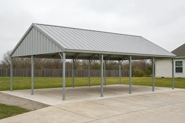 Valley Utility CarportA straightforward open-bay design suited to Snake River Plain properties near Boise and similar valley sites.Mountain-Adjacent CarportSteeper roof pitch and a conversation with a local engineer about snow, since the Boise normal doesn't apply at elevation.Farm Equipment CarportTaller eaves and a longer bay for trailers or implements on larger Idaho parcels.
Example Configuration — for planning purposes only.
Footprint
Common Idaho Carport Footprints
A starting range before a site-specific plan accounts for your terrain and equipment.
18′ × 20′
360 sq ft
A compact single-vehicle carport for a valley residential lot.
20′ × 30′
600 sq ft
Room for a vehicle plus general storage on a standard rural parcel.
24′ × 40′
960 sq ft
A longer bay suited to trucks, trailers, or farm implements.
Example Configuration — for planning purposes only.
Confirm any local snow-load or wind-load requirement with your building department before finalizing a size. Also ask about wind exposure, since an open carport with no adjacent windbreak experiences different loading than one built next to a house or barn.
Questions
Idaho Carport Questions
Honest answers, with technical questions routed to your local authority.
Not necessarily. The commonly cited 17.6-inch annual snowfall figure comes from the Boise Air Terminal station alone. Idaho's elevation range means mountain or northern sites can see far more snow, so confirm design expectations with your local building department rather than using the Boise figure.
Yes, qualitatively. The Idaho Geological Survey identifies Basin and Range, volcanic Snake River Plain, and mountainous batholith terrain as three distinct zones. Ask a local foundation contractor how your specific ground type affects post depth or slab design.
On many rural Idaho parcels, where farms average 505 acres and population density is low, a carport is more often a stand-alone structure sited near a driveway or working area than an attachment to the home.
Use FEMA's National Risk Index (hazards.fema.gov), which scores Idaho hazard exposure by county and tract across 18 hazard categories including wildfire and landslide, rather than relying on a general statewide claim.
There's no official typical size, but many working carports on Idaho's larger parcels run longer and taller than a residential model to accommodate trucks, trailers, or farm equipment. Confirm eave height against the equipment you plan to store.
Sources for the Idaho facts on this page
This page states no code requirement, wind speed, snow load, permit rule, price or supplier claim. The state-specific facts it does use are listed with their publisher below.
Boise's 1991-2020 annual climate normal precipitation is about 11.5 inches with roughly 17.6 inches of annual snowfall, reflecting the semi-arid Treasure Valley climate.
NOAA National Centers for Environmental Information (NCEI) · 1991-2020 · Tier 1
https://www.ncei.noaa.gov/access/services/data/v1?dataset=normals-monthly-1991-2020&dataTypes=MLY-PRCP-NORMAL,MLY-SNOW-NORMAL&format=csv&stations=USW00024131Idaho had 22,877 farms in 2022, down 8% from 2017, covering 11,547,963 acres of land in farms (down 1%), with an average farm size of 505 acres (up 8%).
USDA National Agricultural Statistics Service (NASS) · 2022 · Tier 1
https://www.nass.usda.gov/Publications/AgCensus/2022/Online_Resources/County_Profiles/Idaho/cp99016.pdfThe Idaho Geological Survey's statewide Geologic Map of Idaho documents the state's varied terrain, spanning Basin and Range structures in the south, the volcanic Snake River Plain, and the mountainous central Idaho batholith terrain to the north.
Idaho Geological Survey, University of Idaho · 2012 · Tier 2
https://idahogeology.org/pub/Maps/Geologic_Map_of_ID_booklet_3.pdfIdaho's total land area was measured at 82,643.12 square miles as of the 2010 Census, the 11th largest of any U.S. state, with a population density of only about 19.0 persons per square mile.
U.S. Census Bureau · 2010 Census · Tier 1
https://www.census.gov/geographies/reference-files/2010/geo/state-local-geo-guides-2010/idaho.htmlFEMA's National Risk Index platform (hazards.fema.gov) is the authoritative county/tract-level source for Idaho natural hazard exposure scores across 18 hazard types, including hazard categories such as wildfire, landslide, and earthquake that are tracked for Idaho specifically.
Federal Emergency Management Agency (FEMA) · Current NRI dataset · Tier 1
https://www.fema.gov/flood-maps/products-tools/national-risk-index