
Barndominium · UT
Barndominiums in Utah
A barndominium buyer picturing wide-open Utah acreage should check the math first: the Congressional Research Service's federal land dataset puts roughly 33.3 million of Utah's 33.6 million total acres under federal ownership, leaving a comparatively thin private-land base. On top of that, the 2022 Census of Agriculture puts the average Utah farm at 604 acres, a much smaller working unit than the multi-thousand-acre averages common in several neighbouring states. A meaningful share of the remaining land is also managed by the Utah Trust Lands Administration for school and institution beneficiaries rather than held as ordinary private title, so confirming exactly what a parcel is — private, trust, or federal — is a genuine first step for a Utah barndominium, before elevation and climate zone even enter the conversation.
The intersection
Confirm what the land actually is before you plan the barndominium
A barndominium is a land-hungry building type by nature, so Utah's unusual land-ownership split matters more here than for a compact structure.
The Congressional Research Service's federal land ownership dataset lists Utah's federal acreage at approximately 33.3 million acres against a total state acreage of roughly 33.6 million — meaning federal ownership accounts for the overwhelming majority of the state's land area. That figure is drawn from 2013 data reported in 2017, so it is a structural picture of the state rather than a live parcel count, but the scale of the gap between total and federal acreage tells a buyer something durable: private land in Utah is the exception on the map, not the rule.
A second, separate category sits alongside private and federal land: state trust land, managed by the Utah Trust Lands Administration (SITLA) under a congressional grant to benefit Utah's schools and institutions. Trust land is not automatically off-limits to development, but it is administered differently from a standard private parcel, and a barndominium buyer who assumes a promising piece of open land is simply for sale can lose real time discovering it is trust-administered instead.
None of this replaces a title search or a call to the county recorder — this page cannot tell you what a specific parcel is. What it should change is the order of operations: verify ownership status on any candidate site before spending time on floor plans, roofline or door placement for a Utah barndominium.
Site eligibility
What the acreage numbers mean for a rural Utah build
Two figures, read together, describe a smaller working land base than a barndominium buyer coming from a bigger-acreage state might expect.
| Measure | Utah figure | What it means for the site |
|---|---|---|
| Federal share of total acreage | ~33.3M of ~33.6M acres (CRS, 2013 data) | The large majority of Utah's land area is not privately buildable at all. |
| Average farm size | 604 acres (2022 Census of Agriculture) | A rural Utah barndominium site typically sits on a materially smaller working parcel than in several neighbouring states. |
| Farm count | 17,386 farms, down about 6% since 2017 | Fewer working farms overall, which affects how much genuinely rural, agriculturally-zoned acreage is actively in use nearby. |
| Land in farms | 10,494,923 acres, down about 3% since 2017 | The private agricultural land base is itself shrinking slightly, reinforcing the case for early parcel verification. |
Federal share of total acreage
- Utah figure
- ~33.3M of ~33.6M acres (CRS, 2013 data)
- What it means for the site
- The large majority of Utah's land area is not privately buildable at all.
Average farm size
- Utah figure
- 604 acres (2022 Census of Agriculture)
- What it means for the site
- A rural Utah barndominium site typically sits on a materially smaller working parcel than in several neighbouring states.
Farm count
- Utah figure
- 17,386 farms, down about 6% since 2017
- What it means for the site
- Fewer working farms overall, which affects how much genuinely rural, agriculturally-zoned acreage is actively in use nearby.
Land in farms
- Utah figure
- 10,494,923 acres, down about 3% since 2017
- What it means for the site
- The private agricultural land base is itself shrinking slightly, reinforcing the case for early parcel verification.
Exposure
Once the parcel is confirmed, the elevation question starts
Utah's elevation runs from 2,350 feet to 13,528 feet across desert, steppe and highland/mountain climate zones, so the same barndominium design brief does not travel well between sites.
A barndominium in Utah's desert zone — roughly a third of the state by the classification used in Utah educational climate materials — is planning primarily around heat and sun exposure on window and shade placement, with drainage still worth attention during infrequent but intense storms. A build in the steppe zone, the largest of the three at roughly 43% of the state, sits in a transitional band where both summer heat and winter precipitation are realistic planning factors across the year.
A build in the highland or mountain zone, about a quarter of the state, is a different conversation again: roof pitch, snow-shedding clearance and seasonal access to the site become the practical questions, on top of whatever engineered snow-load value the local jurisdiction ultimately sets. None of the zone shares stated here are a substitute for a site-specific design value; they describe why 'a Utah barndominium' is not one design brief but at least three, before land status is even considered.
- Match the roofline to the zone, not the state
- A desert-zone roof brief and a highland-zone roof brief are different conversations even inside the same state.
- Ask about seasonal access at higher elevation
- Highland-zone parcels can face access limitations during winter months that valley sites simply do not.
- Route load values to the local jurisdiction
- Snow and wind design values are set locally; this page only explains why the zone matters, not what the number is.
Get Utah barndominium quotes
Tell us your parcel's ownership status, elevation zone and rough footprint. We route it with the Utah and barndominium context already attached.
Configuration
What a Utah barndominium is usually asked to do
Given a smaller average parcel than several neighbouring states, a Utah barndominium is frequently asked to be efficient with land rather than simply large.
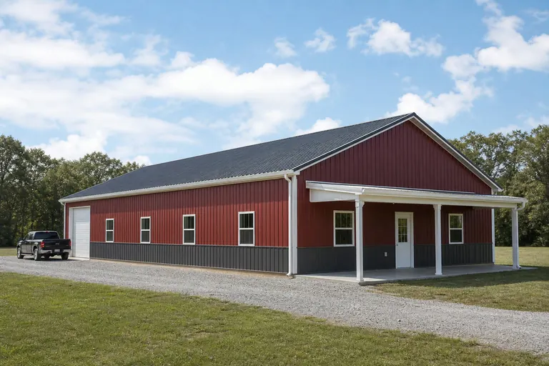 Compact home-and-shop combinationOn a smaller working parcel, pairing finished living space with one shop or equipment bay under a single roofline is a land-efficient answer.Primary residence on a working agricultural parcelWhere the average farm is 604 acres rather than several thousand, the barndominium often needs to coexist tightly with existing agricultural infrastructure rather than anchor an isolated holding.
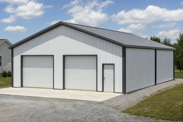 Elevation-adapted seasonal or full-time homeHighland-zone buyers sometimes plan the barndominium as a hardier, snow-ready full-time home rather than a warm-weather structure.
Example Configuration — for planning purposes only.
Footprint
Sizes that fit a smaller Utah parcel
A smaller average working parcel and a genuinely tight private-land base push many Utah enquiries toward efficient rather than maximal footprints.
30′ × 50′
1,500 sq ft
A workable minimum for a living-space-plus-single-bay layout on a constrained parcel.
40′ × 60′
2,400 sq ft
Common where finished living quarters and one real equipment bay both need genuine square footage.
40′ × 80′
3,200 sq ft
Adds a second bay or larger shop end without widening the frame footprint.
30′ × 80′
2,400 sq ft
A longer, narrower layout suited to a linear parcel shape common on smaller agricultural land.
Example Configuration — for planning purposes only.
Footprint pages carry layout and door detail for each of these; this page only explains why Utah briefs tend to land in this range.
Preparation
Before you request a Utah barndominium quote
Five things resolved in advance turn a Utah barndominium quote into something genuinely comparable.
Step 1
Verify parcel ownership status
Confirm the land is privately titled and not federal or SITILA trust land before any design conversation begins.
Step 2
Contact your local building department
Utah's code administration involves the Division of Professional Licensing and the Uniform Building Code Commission, but your local department still applies it to your specific parcel.
Step 3
Identify your climate zone
Tell your quoting contact whether the site sits in desert, steppe or highland/mountain terrain; it changes the roof and drainage conversation more than the county name does.
Step 4
Describe surrounding acreage honestly
With a smaller state average farm size, describe the real working acreage around the site rather than assuming a large-state default.
Step 5
Note winter access at elevation
If the parcel sits in highland terrain, flag any seasonal access limitation up front so delivery and installation can be scheduled around it.
Questions
Utah barndominium questions
Questions we can answer honestly at state level, with the ones we cannot routed to whoever actually owns them.
Less than the state's total size suggests. CRS's federal land dataset puts roughly 33.3 million of Utah's 33.6 million total acres under federal ownership, and a further share is state trust land administered by SITLA, so the genuinely private, buildable pool is comparatively thin.
The Utah Trust Lands Administration (SITLA) manages state trust land granted by Congress to benefit Utah schools and institutions. It is a distinct ownership category from private title, so confirm whether a candidate parcel is trust land before assuming it is available to purchase and build on.
There is no official typical size, but the 2022 Census of Agriculture put the average Utah farm at 604 acres, down slightly from 2017 and materially smaller than the multi-thousand-acre averages seen in some neighbouring states.
Yes. Utah spans 2,350 feet at Beaver Dam Wash to 13,528 feet at Kings Peak across desert, steppe and highland/mountain climate zones, so roofline, drainage and access planning genuinely differ depending on where in that range the parcel sits.
Permit requirements are set by your local building department. Utah's Division of Professional Licensing works with the Uniform Building Code Commission to promote statewide uniformity in code enforcement, but your specific parcel and use are still confirmed locally.
We do not publish state-level prices, because a credible number depends on specification, site work, land status and current material pricing. Our cost pages cover what drives the number; a quote covers your building.
Sources for the Utah facts on this page
This page states no code requirement, wind speed, snow load, permit rule, price or supplier claim. The state-specific facts it does use are listed with their publisher below.
CRS's federal land ownership dataset lists Utah federal acreage at roughly 33.3 million acres (2013 data) against total state acreage of approximately 33.6 million acres.
Congressional Research Service · data as of FY2013, report dated March 3, 2017 · Tier 1
https://www.everycrsreport.com/files/20170303_R42346_95ce191e74ed8e08054bb5476971544bc55823f2.htmlUtah's School and Institutional Trust Lands Administration (SITLA/Trust Lands Administration) manages state trust land granted by Congress to benefit Utah schools and institutions.
Utah Trust Lands Administration (SITLA) · current, accessed 2024 · Tier 2
https://trustlands.utah.gov/Average Utah farm size in the 2022 Census was 604 acres, up about 3% from 2017.
USDA NASS · 2022 · Tier 1
https://www.nass.usda.gov/Publications/AgCensus/2022/Online_Resources/County_Profiles/Utah/cp99049.pdfThe 2022 Census of Agriculture counted 17,386 farms in Utah (down about 6% from 2017).
USDA NASS · 2022 · Tier 1
https://www.nass.usda.gov/Publications/AgCensus/2022/Online_Resources/County_Profiles/Utah/cp99049.pdfUtah's highest point is Kings Peak at 13,528 feet and its lowest point is Beaver Dam Wash at 2,350 feet, illustrating the mountain-versus-valley elevation and climate contrast used in state education materials.
Utah Agriculture in the Classroom (agclassroom.org, hosted via Utah State University Extension network) · current reference sheet · Tier 3
https://cdn.agclassroom.org/ut/lessons/cc/ut_elevation_precip_maps.pdfUtah has three distinct climate zones: desert (33% of the state), steppe (43%), and highland/mountain (24%), reflecting the valley-to-mountain precipitation and snowfall contrast.
Utah Agriculture in the Classroom · current reference sheet · Tier 3
https://cdn.agclassroom.org/ut/lessons/cc/ut_elevation_precip_maps.pdf