
Steel Home · HI
Steel Homes in Hawaii
A steel-frame home is a long-horizon build, and in Hawaii it is built onto ground with a specific documented origin: USGS's geologic mapping describes the islands as the exposed, subaerial parts of the Hawaiian Ridge, a volcanic mountain range built by shield-volcano eruptions, which means nearly all foundation-bearing ground in the state is volcanic rock or soil derived from it. The Census Bureau records Hawaii's total land area at 6,422.6 square miles, the 47th largest of any state, and notes it is the only state composed entirely of islands — a fact that shapes site access and logistics more than it shapes the home's frame. NWS Honolulu, which serves the whole state, is explicit that rainfall normals vary sharply from site to site even on a single island, so this page treats Honolulu's own 16.4-inch annual precipitation normal as one leeward, low-elevation data point rather than a statewide figure.
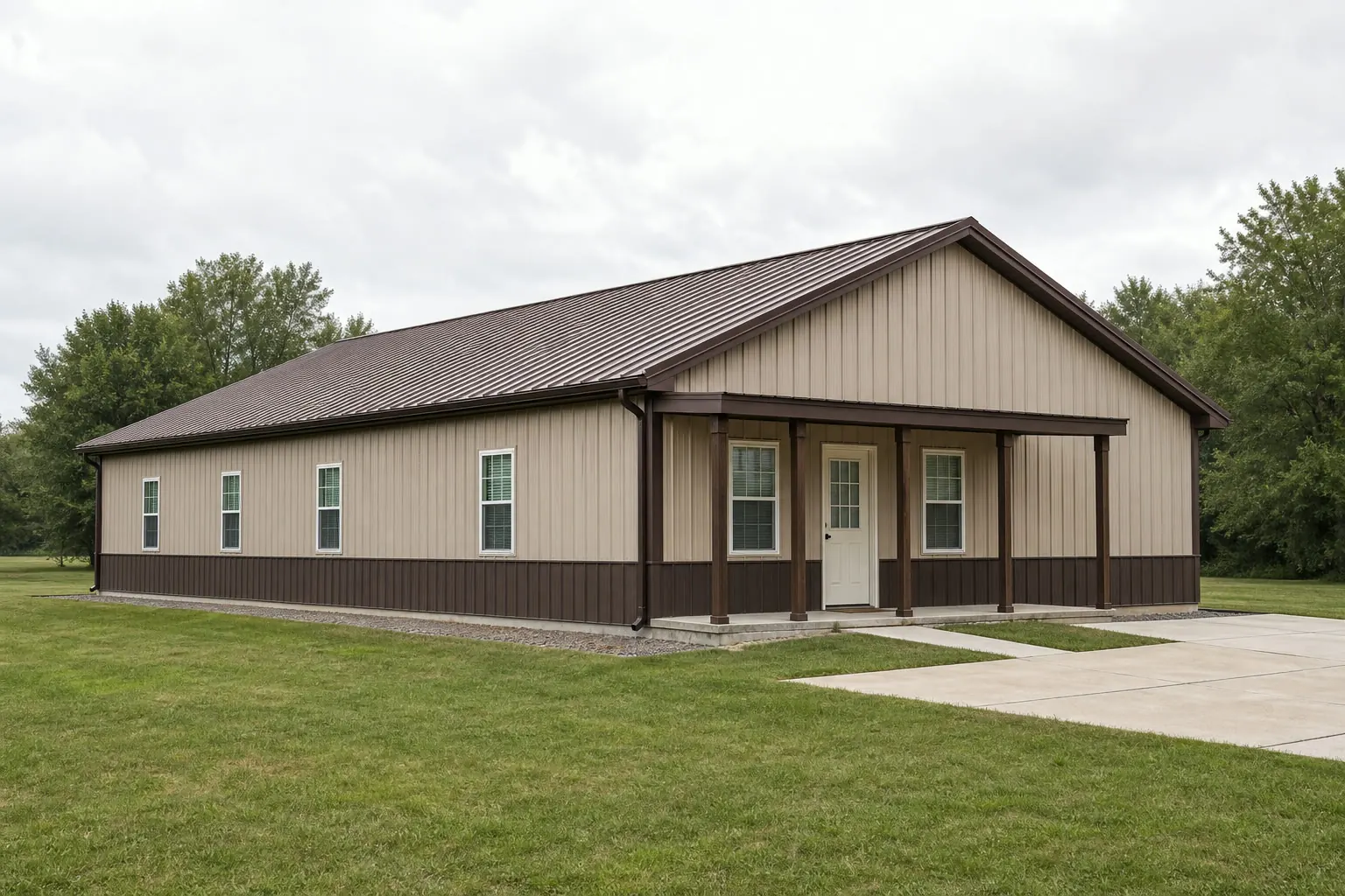
The intersection
Every Hawaii lot sits on volcanic ground, by definition
USGS's own state geologic map describes the islands as shield-volcano terrain, which is a foundation-relevant starting fact no other state shares in the same way.
USGS's Geologic Map of the State of Hawaii documents the islands as the exposed, subaerial parts of the Hawaiian Ridge, a large volcanic mountain range built by shield-volcano eruptions on the Pacific Ocean floor. In practice, that means nearly all foundation-bearing ground statewide is volcanic rock or soil derived from it, rather than the sedimentary, glacial-till or clay-heavy ground common on much of the mainland. That does not tell a buyer what foundation type is right for a specific lot — young lava-rock ground, weathered volcanic soil and reclaimed or fill ground can behave very differently even within a short distance of each other — but it does mean a soils report and a foundation contractor familiar with volcanic ground are worth prioritizing over a generic mainland foundation assumption.
USGS's separate reference on the island of Hawaii adds concrete scale to that picture: the island alone runs 93 miles long and 76 miles wide, covering 4,030 square miles, with Mauna Loa (13,680 ft) and Mauna Kea (13,784 ft) among the volcanic peaks that built it. A steel-home lot at sea level near the coast and one on the flank of one of those peaks are both technically 'the same island,' but they are not the same ground, which is exactly why a site-specific soils assessment matters more here than a statewide generalization would.
Site logistics
Being the only all-island state changes access, not the frame
Hawaii's island geography is a real planning variable for a steel-home build, but it shows up in access and delivery, not in the structure itself.
The Census Bureau records Hawaii's total land area at 6,422.6 square miles as of the 2010 Census, the 47th largest of any state, and notes explicitly that Hawaii is the only U.S. state composed entirely of islands. For a steel-frame home, which typically arrives as prefabricated components, that geography is worth raising with a builder early: which island the lot is on, how components reach that island, and what site access looks like on the specific parcel are all questions that belong in an initial site conversation rather than being assumed away.
None of this changes what a steel-frame home is or how it is engineered. It changes the logistics conversation that happens before construction starts, and it is worth having that conversation with a builder who has actually delivered to the specific island in question.
- Confirm island-specific delivery logistics
- Ask a prospective builder directly about experience delivering to your specific island.
- Get a site-specific soils assessment
- Volcanic ground varies from young lava rock to weathered soil even on the same island.
- Treat access as a separate line item from the build itself
- Site access and staging space are a planning question independent of the home's design.
Site diligence
Rainfall and hazard exposure are hyperlocal, not statewide
NWS Honolulu and FEMA both point buyers toward site-specific lookups rather than a single number for the whole state.
NWS Honolulu, the National Weather Service office serving the entire state, publishes a monthly climate summary for Honolulu itself but is explicit that normals for other Hawaii sites must be retrieved separately, because rainfall varies sharply across the islands depending on elevation and windward-versus-leeward exposure. Honolulu International Airport's own 1991-2020 annual precipitation normal is about 16.4 inches, but that figure describes a leeward, low-elevation station specifically — a windward or upland lot on the same island, let alone a different island, can see a very different rainfall pattern. This page treats the Honolulu figure as one representative data point, not a statewide rainfall value.
FEMA's National Risk Index tracks hazard-specific exposure scores at the county and tract level for Hawaii, including tsunami and volcanic activity as tracked categories specific to the state — hazard types that simply do not apply to most mainland locations. Rather than describing a single statewide hazard level, which would misrepresent a state built from separate volcanic islands, a buyer should look up their specific county or tract on FEMA's tool before finalizing site plans, and treat that lookup as diligence rather than a substitute for a licensed engineer's assessment.
Get Hawaii steel home quotes
Tell us your island, elevation and whether the site is coastal or upland. We route it with the Hawaii and steel-home context already attached.
Configuration
How a Hawaii steel-home brief differs by site
A coastal lot, an upland or windward lot, and a rural agricultural parcel each start from a different site-planning brief.
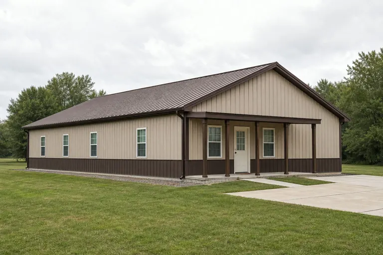 Coastal lotLower elevation, often leeward and drier, closer to the kind of station conditions Honolulu Airport's normal represents, with tsunami hazard worth checking via FEMA's county-level tool.Upland or windward lotMeaningfully wetter than a leeward coastal station per NWS Honolulu's own guidance, which shifts envelope and drainage planning priorities.Rural or agricultural parcelLand in farms declined from 7,328 Hawaii farms in 2017 to 6,569 in 2022 per USDA's count, a context worth knowing for anyone eyeing a larger rural lot for a steel-frame home.
Example Configuration — for planning purposes only.
Preparation
Before you request a Hawaii steel-home quote
These points shorten the path to a realistic site plan and timeline.
- Get a site-specific soils assessmentVolcanic ground varies meaningfully even within a single island; do not assume a mainland foundation approach transfers directly.
- Confirm your builder's island-specific delivery experienceAsk directly about logistics to your specific island rather than assuming statewide coverage.
- Look up your county's FEMA National Risk Index scoreHawaii's tracked hazards include tsunami and volcanic activity categories specific to the state.
- Ask about rainfall for your exact site, not just your islandNWS Honolulu documents sharp rainfall variation by elevation and windward/leeward exposure.
- Check with your local building departmentPermit, wind, and seismic design requirements are jurisdiction-specific; we do not state them here.
Questions
Hawaii steel home questions
Honest state-level answers, with site-specific and jurisdiction-specific items routed appropriately.
It changes what a soils assessment needs to look at. USGS documents nearly all Hawaii ground as volcanic rock or derived soil, but conditions vary by site, so a foundation contractor familiar with local volcanic ground and a site-specific soils report are the right starting point rather than a generalized approach.
No. NWS Honolulu is explicit that rainfall normals vary sharply by site even within a single island due to elevation and windward-versus-leeward exposure. Honolulu Airport's own 16.4-inch annual normal describes a leeward, low-elevation station, not the whole state.
FEMA's National Risk Index tracks tsunami and volcanic activity as specific Hawaii hazard categories at the county and tract level. Look up your specific county or tract on FEMA's tool and confirm with a licensed engineer for anything design-related.
Permit requirements depend on your county jurisdiction and project scope. Your local building department is the only reliable source for that answer.
We do not publish state-level prices; costs depend on size, finish level, island logistics, and site work. Our cost pages cover what drives the number.
It can. Hawaii is the only U.S. state made entirely of islands, so ask a prospective builder directly about their experience delivering components to your specific island before finalizing a plan.
Sources for the Hawaii facts on this page
This page states no code requirement, wind speed, snow load, permit rule, price or supplier claim. The state-specific facts it does use are listed with their publisher below.
USGS's Geologic Map of the State of Hawaii documents that the islands are the exposed, subaerial parts of the Hawaiian Ridge, a large volcanic mountain range built by shield-volcano eruptions on the Pacific Ocean floor, so nearly all foundation-bearing ground in the state is volcanic rock or derived volcanic soil.
U.S. Geological Survey (USGS) · 2021 · Tier 1
https://pubs.usgs.gov/sim/3143/sim3143_pamphlet.pdfHawaii's total land area was measured at 6,422.6 square miles as of the 2010 Census, the 47th largest of any U.S. state, and the state is the only one entirely composed of islands.
U.S. Census Bureau · 2010 Census · Tier 1
https://www.census.gov/geographies/reference-files/2010/geo/state-local-geo-guides-2010/hawaii.htmlHonolulu's 1991-2020 annual climate normal precipitation is about 16.4 inches, reflecting the leeward, comparatively dry side of Oahu where the Honolulu International Airport station is located.
NOAA National Centers for Environmental Information (NCEI) · 1991-2020 · Tier 1
https://www.ncei.noaa.gov/access/services/data/v1?dataset=normals-monthly-1991-2020&dataTypes=MLY-PRCP-NORMAL,MLY-SNOW-NORMAL&format=csv&stations=USW00022521FEMA's National Risk Index platform (hazards.fema.gov) is the authoritative county/tract-level source for Hawaii natural hazard exposure scores across 18 hazard types, including hazard categories such as tsunami and volcanic activity that are tracked for Hawaii specifically.
Federal Emergency Management Agency (FEMA) · Current NRI dataset · Tier 1
https://www.fema.gov/flood-maps/products-tools/national-risk-index