
Steel Home · WA
Steel Homes in Washington
A steel-frame home is a bigger, longer-horizon commitment than an outbuilding, which makes Washington's specific conditions worth understanding before a lot is chosen. The Census Bureau's Building Permits Survey shows the state authorized 37,778 new housing units in 2024, down from 49,030 in 2022, a statewide slowdown any steel-home buyer is building into. NOAA's Sea-Tac normal of 39.34 inches of annual precipitation describes a wet west side very different from the arid Columbia Basin the Washington Geological Survey maps across the southeastern part of the state, and buyers considering Cascade-adjacent land are building near terrain anchored by Mount Rainier's 14,408-foot summit.
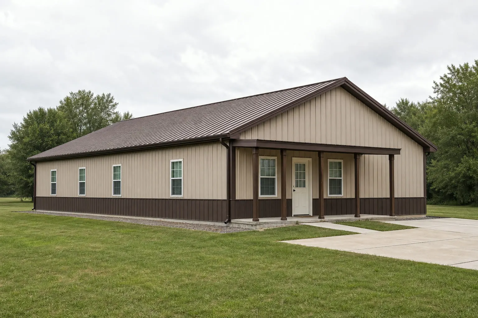
The intersection
What building in Washington changes about a steel home
A statewide permit slowdown, a genuine climate split, and Cascade-adjacent terrain are the three factors that make a Washington steel home a different project than a generic one.
Census Bureau data shows Washington authorized 37,778 new privately-owned housing units in 2024, down from 49,030 in 2022 and roughly level with 2023's 37,097. For a steel-home buyer, that statewide direction is useful context when discussing scheduling and contractor availability with a builder, even though it says nothing about any individual parcel's timeline.
Climate is the second variable. NOAA's Sea-Tac normal lists 39.34 inches of annual precipitation and 6.3 inches of snowfall, representative of the wetter, Cascades-influenced west side the National Weather Service's Seattle office tracks separately from the state's drier interior. A steel home on a west-side lot is managing sustained moisture against its envelope for a large share of the year. On the east side, the Washington Geological Survey's Columbia Basin — an arid lowland spanning the entire southeastern portion of the state — reframes the conversation toward sun exposure, temperature swing, and dust rather than moisture.
Terrain matters too, particularly for anyone considering land near the Cascade Range. Washington DNR's geologic reference documents Mount Rainier as a dormant stratovolcano standing 14,408 feet, the tallest point in the state and a defining feature of the range. Lots near that kind of terrain more often carry slope, access, and drainage questions than flat lowland or basin sites, which is a site-planning conversation worth having before a foundation design is finalized.
Site diligence
Check county-level hazard data before finalizing a lot
Washington's hazard exposure varies enough by county that a statewide claim would be unhelpful; FEMA's tool is built for exactly this lookup.
FEMA's National Risk Index provides composite and hazard-specific risk scores at the county and census-tract level for all 39 Washington counties across 18 natural hazard types. Rather than asserting a single statewide risk level — which would misrepresent a state with both wet coastal terrain and a dry interior basin — a steel-home buyer should look up their specific county before finalizing site plans.
This is diligence, not a substitute for engineering. A licensed engineer and the local building department are still the right parties to translate site-specific hazard exposure into actual design requirements for a steel-frame home.
- County-level lookup
- Use FEMA's National Risk Index tool for your specific county rather than a statewide assumption.
- Cascade-adjacent grading
- Sites near Mount Rainier and similar terrain often need a dedicated grading and access review.
- Envelope planning
- West-side moisture and east-side heat/dust call for different envelope detailing.
Configuration
How Washington steel-home projects differ by site
A west-side lot, a Columbia Basin lot, and a Cascade-adjacent lot each carry a different starting brief for a steel-frame home.
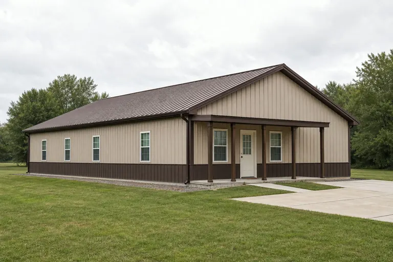 West-side lotEnvelope and roof-drainage detailing planned against Sea-Tac's 39.34-inch annual precipitation normal, with siting attention to how water leaves the property in the wet season.Columbia Basin lotEnvelope planning oriented around sun exposure and temperature swing on the arid interior lowland the Washington Geological Survey maps across the southeastern part of the state.Cascade-adjacent lotA site plan built around the slope, access, and drainage questions that come with terrain near Mount Rainier and the Cascade Range, ahead of any foundation design.
Example Configuration — for planning purposes only.
Get Washington steel home quotes
Tell us which side of the Cascades your lot is on and its terrain. We route it with the Washington and steel-home context already attached.
Specification
Envelope and foundation planning follow the same climate and terrain split
The details that make a steel home perform well in Washington track the same three factors covered above: sustained west-side moisture, Columbia Basin heat, and Cascade-adjacent terrain.
On a west-side lot, exterior wall assemblies and roof drainage detailing are working against a large share of the year spent wet, per Sea-Tac's normal, which is why drainage planes and properly flashed penetrations earn more attention here than in a drier state. On a Columbia Basin lot, the same envelope is instead managing sustained sun exposure and daily temperature swings typical of an arid interior lowland, which shifts the conversation toward insulation and glazing orientation rather than moisture control.
Foundation and grading planning differs by terrain rather than by climate: a flat Puget Sound or Columbia Basin lot generally simplifies foundation design, while a Cascade-adjacent lot near terrain like Mount Rainier's more often needs a dedicated grading and drainage review before a foundation type is chosen. None of these are code values; they are planning priorities that follow directly from Washington's documented climate and terrain data.
- West-side envelope
- Drainage planes and flashing detail earn priority over insulation upgrades alone.
- Columbia Basin envelope
- Insulation and glazing orientation address heat and temperature swing.
- Cascade-adjacent foundation
- A grading and drainage review ahead of foundation type selection.
Market context
A cooling permit trend changes scheduling conversations, not the design
The statewide slowdown in authorized housing units is worth raising with a builder for scheduling reasons, even though it says nothing about the design of any individual home.
With statewide authorized units down from 49,030 in 2022 to 37,778 in 2024, contractor and subcontractor availability may look different than it did during the earlier, busier period. That is a scheduling and sequencing conversation to have directly with a builder, not something this page can predict for a specific parcel or crew.
Preparation
Before you request a Washington steel-home quote
These points shorten the path to a comparable quote and a realistic timeline.
Step 1
State which side of the state your lot is on
West-side and Columbia Basin envelope priorities are different enough to affect the design brief.
Step 2
Look up your county's FEMA National Risk Index score
Do this before finalizing site plans; hazard exposure varies meaningfully across Washington's 39 counties.
Step 3
Check with your local building department
Snow-load, seismic, and permit questions are jurisdiction-specific; we do not state them here.
Questions
Washington steel home questions
Honest state-level answers, with jurisdiction-specific items routed appropriately.
The structural approach is similar, but envelope priorities differ: west-side homes, represented by Sea-Tac's 39.34-inch annual precipitation normal, lean toward moisture management, while Columbia Basin homes lean toward heat and dust control.
Permit requirements depend on your county or city jurisdiction and your project's scope. Your local building department is the only reliable source for that answer.
FEMA's National Risk Index publishes county- and tract-level hazard scores for all 39 Washington counties. We do not assert a hazard category here; look up your specific county on FEMA's tool and confirm with a licensed engineer.
We can't advise on timing, but statewide new-housing permits fell from 49,030 (2022) to 37,778 (2024), which is useful context to discuss with your builder about scheduling and contractor availability.
We do not publish state-level prices; costs depend on size, finish level, and site work. Our cost pages cover what drives the number.
Sources for the Washington facts on this page
This page states no code requirement, wind speed, snow load, permit rule, price or supplier claim. The state-specific facts it does use are listed with their publisher below.
Washington builders and developers were authorized (by building permit) to build 37,778 total new privately-owned housing units in 2024, down from 49,030 units in 2022 and 37,097 units in 2023.
U.S. Census Bureau · 2022-2024 · Tier 1
https://www2.census.gov/econ/bps/State/st2024a.txtSeattle-Tacoma International Airport's 1991-2020 annual climate normal precipitation is 39.34 inches with an annual normal snowfall of 6.3 inches.
NOAA National Centers for Environmental Information (NCEI) · 1991-2020 · Tier 1
https://www.ncei.noaa.gov/access/services/data/v1?dataset=normals-annualseasonal-1991-2020&dataTypes=ANN-PRCP-NORMAL,ANN-SNOW-NORMAL&stations=USW00024233&format=jsonThe Washington Geological Survey (part of the state Department of Natural Resources) names and maps distinct geologic/physiographic provinces across the state, including the Cascade Range and the Columbia Basin, the latter a wide, arid lowland occupying the entire southeastern portion of Washington.
Washington State Department of Natural Resources, Washington Geological Survey · Reference material, current · Tier 2
https://dnr.wa.gov/washington-geological-survey/explore-popular-geology/geologic-provinces-washington/columbia-basinMount Rainier, a dormant stratovolcano in Washington's Cascade Range, stands 14,408 feet above sea level, the tallest mountain in the state, per a WA DNR geologic reference publication.
Washington State Department of Natural Resources, Division of Geology and Earth Resources · Originally published 1969; DNR reference archive · Tier 2
https://dnr.wa.gov/sites/default/files/2025-04/ger_ic45_geol_hist_rocks_min.pdfFEMA's National Risk Index tool provides county- and tract-level composite and hazard-specific risk scores for all 39 of Washington's counties across 18 natural hazard types.
Federal Emergency Management Agency (FEMA) · Current NRI release · Tier 1
https://www.fema.gov/flood-maps/products-tools/national-risk-index