
Carport · HI
Carports in Hawaii
An open-sided carport has no wall system to help it shed lateral load, and in Hawaii that structural fact meets ground that is, without exception, volcanic in origin. USGS's Geologic Map of the State of Hawaii documents the islands as the exposed, subaerial parts of a shield-volcano mountain range, so whatever the post footings sit in — dense basalt, cinder, or weathered volcanic soil — is a different footing conversation than a mainland sedimentary or glacial-till site. Add to that a rainfall pattern so locally variable that the National Weather Service's Honolulu office publishes a separate method just for retrieving normals at specific Hawaii sites, and a single leeward-airport figure like Honolulu's roughly 16.4-inch annual normal cannot be read as a statewide number. This page treats each of those as a siting variable, not a spec, and routes anchoring, footing depth and permit thresholds to the authority that actually sets them.
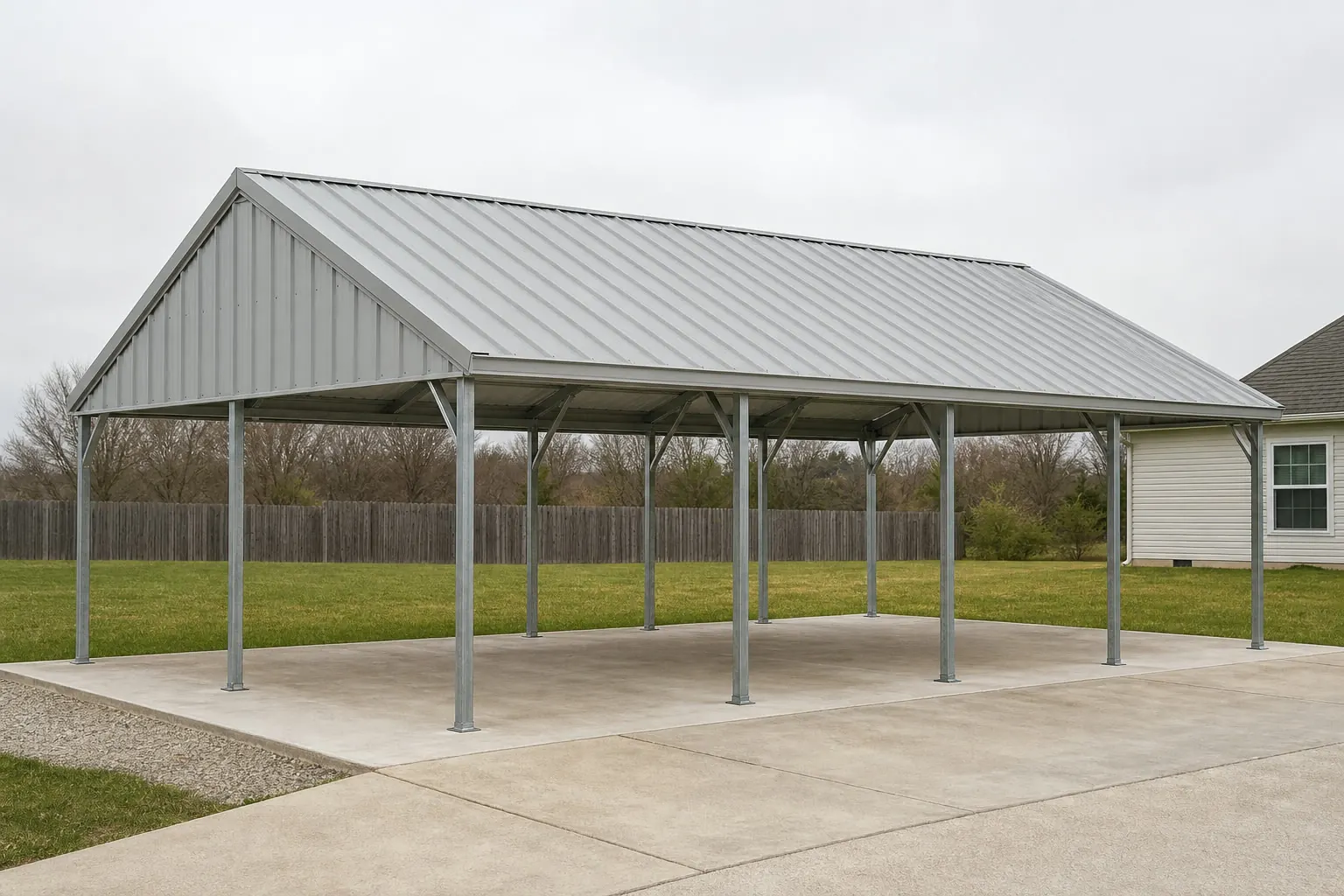
The intersection
Every Hawaii carport post sits on volcanic ground
There is no non-volcanic bedrock in Hawaii, so a footing plan written for mainland soil does not automatically transfer here.
USGS's Geologic Map of the State of Hawaii is explicit: the islands are the exposed, subaerial parts of the Hawaiian Ridge, a volcanic mountain range built entirely by shield-volcano eruptions on the Pacific Ocean floor. That means nearly all foundation-bearing ground statewide is volcanic rock or a derived volcanic soil — there is no sedimentary basin or glacial till option to fall back on. In practice this ranges from dense, weathered basalt to loose cinder and ash deposits depending on the site, and those behave very differently under a post footing.
A separate USGS reference publication on the island of Hawaii alone puts the scale of that variation in perspective: the island is 93 miles long and 76 miles wide, covering 4,030 square miles, and rises to volcanic peaks including Mauna Loa at 13,680 feet and Mauna Kea at 13,784 feet. A carport site near sea level on lava flow and a site partway up either volcano's flank are not the same ground, even on the same island.
None of that sets a footing depth or an anchor spec for you. Those are decisions for a geotechnical check and your local building department, which is why this page treats ground type as a question to ask rather than a number to assume.
Site context
Why the island, not just the state, is the planning unit
Hawaii's geography and permitting are organized by island and county, which matters more for a carport than a single statewide answer would suggest.
Island of Hawaii (Big Island)
The largest island at 4,030 square miles, spanning active volcanic terrain from sea-level lava flow to high-elevation slopes near Mauna Loa and Mauna Kea.
Oahu
Home to the Honolulu climate station used for reference precipitation data; leeward (Honolulu-side) and windward coasts see very different rainfall.
Statewide land area
The Census Bureau measured Hawaii's total land area at 6,422.6 square miles as of the 2010 Census, the 47th largest of any state and the only state made entirely of islands.
Every island
All are volcanic in origin per USGS geologic mapping, so ground-condition questions apply regardless of which island a carport is planned on.
Siting
What differs by Hawaii site condition
General planning context only — not an engineering value or a code requirement.
| Site condition | What it means for a carport | Who confirms specifics |
|---|---|---|
| Near-sea-level lava terrain | Ground may be dense basalt or loose cinder depending on the flow; footing method should follow a local check | Local building department; geotechnical or foundation contractor |
| Elevated volcanic slope | Grading and drainage around posts become a bigger factor than on flat leeward ground | Local building department |
| Leeward (dry) coast | Lower rainfall load on roof drainage, per the Honolulu Airport normal, but not a statewide figure | NWS Honolulu retrieval tool for site-specific normals |
| Windward or upland site | Materially higher rainfall than the leeward normal; gutter and drainage sizing should reflect the local site, not Honolulu's number | NWS Honolulu retrieval tool; local contractor experience |
| Coastal or lava-hazard-tracked parcel | FEMA's National Risk Index scores tsunami and volcanic activity by tract for Hawaii | FEMA NRI (hazards.fema.gov) for the specific tract |
Near-sea-level lava terrain
- What it means for a carport
- Ground may be dense basalt or loose cinder depending on the flow; footing method should follow a local check
- Who confirms specifics
- Local building department; geotechnical or foundation contractor
Elevated volcanic slope
- What it means for a carport
- Grading and drainage around posts become a bigger factor than on flat leeward ground
- Who confirms specifics
- Local building department
Leeward (dry) coast
- What it means for a carport
- Lower rainfall load on roof drainage, per the Honolulu Airport normal, but not a statewide figure
- Who confirms specifics
- NWS Honolulu retrieval tool for site-specific normals
Windward or upland site
- What it means for a carport
- Materially higher rainfall than the leeward normal; gutter and drainage sizing should reflect the local site, not Honolulu's number
- Who confirms specifics
- NWS Honolulu retrieval tool; local contractor experience
Coastal or lava-hazard-tracked parcel
- What it means for a carport
- FEMA's National Risk Index scores tsunami and volcanic activity by tract for Hawaii
- Who confirms specifics
- FEMA NRI (hazards.fema.gov) for the specific tract
Get Hawaii carport quotes
Tell us your island, site condition and vehicle count. We route it with the Hawaii and carport context already attached.
Configuration
What a Hawaii carport is typically asked to shelter
Configuration should follow site exposure and vehicle type, not just budget, given the range of ground and rainfall conditions across the islands.
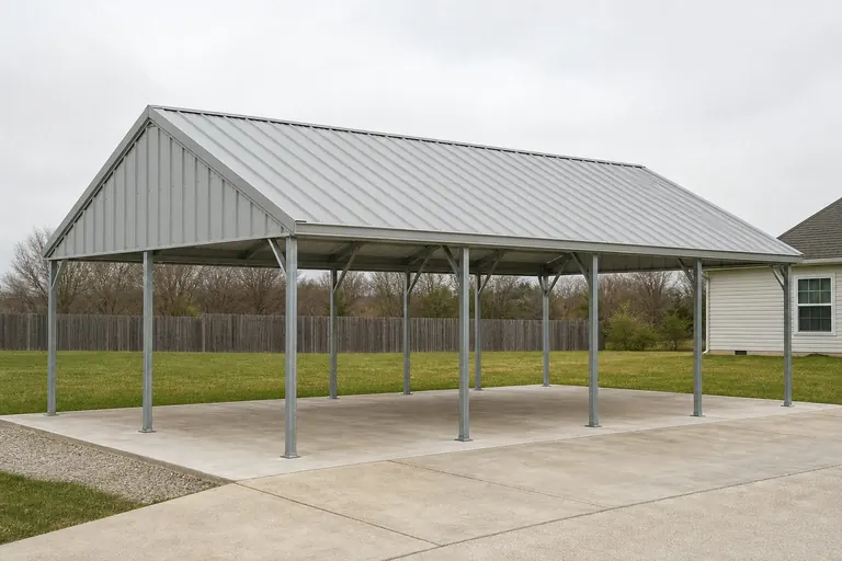 Single passenger vehicle on a leeward lotLower rainfall load per the Honolulu-area normal, but ground type should still be confirmed before footings are set.Vehicle storage on a windward or upland siteMaterially wetter conditions than a leeward reference figure suggest, so roof drainage and post corrosion protection deserve attention.
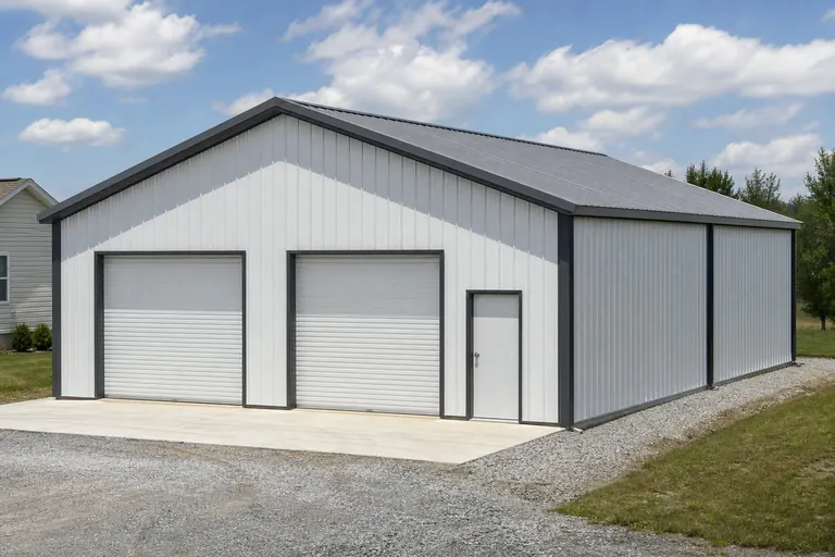 Multi-bay coverage near a coastal hazard zoneWorth checking FEMA's tract-level tsunami scoring for the specific parcel before finalizing placement.
Example Configuration — for planning purposes only.
Footprint
Common Hawaii carport footprints
Size selection follows vehicle count and clearance; wind and rainfall exposure are handled as siting and anchoring decisions rather than a size decision.
20′ × 20′
400 sq ft
A single-vehicle footprint sized for one car or truck.
20′ × 30′
600 sq ft
Room for one vehicle plus storage or a workbench along one side.
24′ × 40′
960 sq ft
A two-bay footprint suited to a truck and a second vehicle.
Example Configuration — for planning purposes only.
Footprint pages carry post spacing and bay layout for each size; this page explains only the Hawaii siting context.
Preparation
Before you request a Hawaii carport quote
Steps that account for volcanic ground and Hawaii's sharp rainfall gradient before a footprint is finalized.
Step 1
Ask about ground type before setting footings
Basalt, cinder and weathered volcanic soil behave differently under a post footing, and your site's exact condition should be confirmed locally.
Step 2
Check FEMA's National Risk Index for your tract
Tsunami and volcanic activity are tracked hazard categories for Hawaii; check the tool for your specific parcel rather than assuming a statewide risk level.
Step 3
Get a site-specific rainfall reference, not the Honolulu Airport figure
NWS Honolulu explains how to retrieve normals for individual Hawaii sites because windward and upland rainfall differs sharply from the leeward, low-elevation Honolulu normal.
Step 4
Confirm island-specific permit requirements
Each county processes building permits independently; contact the local building department for your island before ordering.
Questions
Hawaii carport questions
Honest state-level answers, with anchoring and permit specifics routed to the authority that actually sets them.
It can. USGS geologic mapping treats nearly all Hawaii ground as volcanic rock or derived volcanic soil, ranging from dense basalt to loose cinder, so it is worth confirming your site's specific ground condition with a local contractor before footings are set.
Requirements are set by your county building department, and Hawaii's islands are administered by separate county governments. Confirm what applies to your parcel before ordering.
No. Honolulu Airport's roughly 16.4-inch annual normal reflects a dry, leeward, low-elevation site. NWS Honolulu notes rainfall varies sharply across the islands, so a windward or upland carport site should use a local reference figure, not Honolulu's.
We do not publish state-level prices. Cost depends on size, materials, shipping to the specific island and site conditions; our cost pages explain the drivers and a builder quote covers your specific project.
FEMA's National Risk Index scores both tsunami and volcanic activity among its tracked hazard categories for Hawaii, queryable by tract. Check the tool for your specific parcel rather than assuming a statewide exposure level.
There is no official typical size. 20x20 for a single vehicle and 24x40 for a two-bay layout are common starting points, but your vehicle count, site access and clearance needs should set the final dimensions.
Sources for the Hawaii facts on this page
This page states no code requirement, wind speed, snow load, permit rule, price or supplier claim. The state-specific facts it does use are listed with their publisher below.
USGS's Geologic Map of the State of Hawaii documents that the islands are the exposed, subaerial parts of the Hawaiian Ridge, a large volcanic mountain range built by shield-volcano eruptions on the Pacific Ocean floor, so nearly all foundation-bearing ground in the state is volcanic rock or derived volcanic soil.
U.S. Geological Survey (USGS) · 2021 · Tier 1
https://pubs.usgs.gov/sim/3143/sim3143_pamphlet.pdfHawaii's total land area was measured at 6,422.6 square miles as of the 2010 Census, the 47th largest of any U.S. state, and the state is the only one entirely composed of islands.
U.S. Census Bureau · 2010 Census · Tier 1
https://www.census.gov/geographies/reference-files/2010/geo/state-local-geo-guides-2010/hawaii.htmlFEMA's National Risk Index platform (hazards.fema.gov) is the authoritative county/tract-level source for Hawaii natural hazard exposure scores across 18 hazard types, including hazard categories such as tsunami and volcanic activity that are tracked for Hawaii specifically.
Federal Emergency Management Agency (FEMA) · Current NRI dataset · Tier 1
https://www.fema.gov/flood-maps/products-tools/national-risk-indexHonolulu's 1991-2020 annual climate normal precipitation is about 16.4 inches, reflecting the leeward, comparatively dry side of Oahu where the Honolulu International Airport station is located.
NOAA National Centers for Environmental Information (NCEI) · 1991-2020 · Tier 1
https://www.ncei.noaa.gov/access/services/data/v1?dataset=normals-monthly-1991-2020&dataTypes=MLY-PRCP-NORMAL,MLY-SNOW-NORMAL&format=csv&stations=USW00022521NWS Honolulu (serving the entire state) publishes a monthly climate summary product for Honolulu citing the 1991-2020 climate normal period against a climate record period dating to 1940, and separately explains how to retrieve normals for other Hawaii sites given the islands' strong local rainfall gradients.
National Weather Service (NOAA), Honolulu HI office · 1991-2020 normal / 1940-present record · Tier 1
https://www.weather.gov/hfo/retrieve_norms