
Pole Barn · NE
Pole Barns in Nebraska
A pole barn in Nebraska is almost always going up next to something else: a grain operation, a cattle setup, an existing farmstead, or a rural residence needing equipment storage. That context, not a generic post-frame spec sheet, is what should drive the planning conversation. Nebraska's own agricultural, climate and hazard data point to a handful of decisions that matter more here than in a generic pole-barn guide: how big the surrounding operation is, how much snow the roof needs to shed, and which county's hazard profile applies to the site.
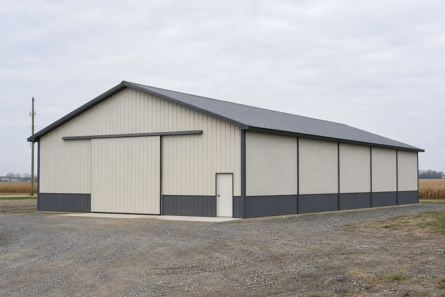
Scale
Sizing a pole barn to a Nebraska operation
Nebraska's farm scale means most pole barns are planned against an existing operation's equipment list, not a blank lot.
Across Nebraska's 44,479 farms and 43,975,693 acres of farmland, the average operation runs 989 acres. A pole barn serving an operation at or near that scale is rarely a single-purpose shed; it's more commonly sized to cover a combine, a grain truck, hay equipment and general tool storage in one structure, which pushes many Nebraska buyers toward wider clear-span bays than a smaller acreage owner would need.
That statewide farm count dropped 4% between the 2017 and 2022 agricultural censuses, a consolidation pattern that has put more land into fewer, larger operating units. For pole barn planning, that means it's increasingly common to be building on a parcel that was recently combined with an adjacent farm, which is worth confirming with the county assessor since it can affect both the agricultural exemption status of the structure and where utility easements sit.
If the pole barn is going up on a smaller acreage parcel that was split off from a larger operation rather than a working farm itself, the agricultural-exemption assumptions that apply to a full farmstead structure may not automatically apply. Confirm with your county building or zoning office whether the exemption still holds before assuming your pole barn skips the standard residential-adjacent permit review.
Structural Inputs
Snow load and soil conditions that vary by region
Nebraska's climate and soil data is uneven across the state, which matters directly for post-frame roof and footing design.
The most complete snowfall dataset available is the Omaha Eppley Airfield normal: 27.1 inches of annual snowfall alongside 31.86 inches of precipitation, drawn from the 1991-2020 normal period against a period of record back to 1871. That figure is a useful eastern Nebraska reference, but a pole barn planned for the Panhandle or Sand Hills should not assume the same roof-shed design applies; your engineer or county building department sets the applicable roof design criteria for your specific site.
Soil conditions matter just as much as snow load for a post-frame structure, since pole barns depend on embedded posts rather than a continuous foundation. In or near the Sand Hills, which make up close to a quarter of Nebraska's land area as stabilized, grass-anchored dune terrain, standard post-embedment depth tables calibrated for denser prairie soils may not hold. A geotechnical read on post pull-out resistance in sandy soil is worth the cost before framing begins in that region.
Outside the Sand Hills, most of eastern and central Nebraska sits on more typical prairie soils where standard post-frame footing tables are more directly applicable, but local frost depth still needs confirmation from your county building department since a specific statewide frost-depth figure was not available in Tier 1 or 2 sourcing for this guide.
Geography
Regional differences that affect a pole barn build
Nebraska's 77,358 square miles include distinct soil, climate and hazard contexts relevant to post-frame construction.
Sand Hills
Stabilized dune grassland covering roughly a quarter of the state. Post embedment and footing design typically need geotechnical input rather than standard prairie-soil tables.
Eastern farm belt
Home to the bulk of Nebraska's farm acreage. Pole barns here are commonly multi-bay structures sized to a working operation's full equipment list.
Omaha metro area
The source of the state's only complete Tier 1 snowfall normal and the highest-ranked county on FEMA's hazard index, meaning both the best climate data and the most hazard scrutiny concentrate here.
Start Your Nebraska Pole Barn
Connect with builders who understand Nebraska's farm scale, soil and hazard context.
Configuration
Common Nebraska pole barn configurations
Farm scale and consolidation trends push Nebraska buyers toward a few recurring layouts.
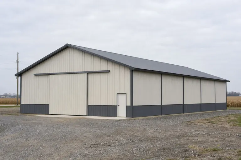 The Multi-Bay Equipment ShedWide clear-span bays sized to a full-scale operation's combine, trucks and implements, sited near existing farmstead infrastructure.The Split-Parcel Acreage BarnA smaller structure on land recently divided from a larger farm, where exemption status and setback rules need re-confirmation with the county.The Sand Hills Livestock BuildingA post-frame building scoped with geotechnical input for dune-soil footing, often paired with grazing-land access rather than row-crop driveways.
Example Configuration — for planning purposes only.
Footprints
Pole barn footprints common on Nebraska parcels
Footprint choice generally tracks the scale of the operation the pole barn is serving.
30′ × 40′
1,200 sq ft
A common size for a smaller acreage parcel or single-bay equipment and hay storage need.
40′ × 60′
2,400 sq ft
A mid-size footprint suited to a working farm needing room for a combine plus general tool storage.
60′ × 100′
6,000 sq ft
A large-format building for a full-scale operation storing multiple pieces of equipment and hosting a shop area; footing design should scale with post spacing.
Example Configuration — for planning purposes only.
Confirm structural design criteria and post-embedment depth with your county building department or a licensed engineer before finalizing bay width and post spacing.
Before You Order
A decision checklist for a Nebraska pole barn
A few early confirmations reduce rework given Nebraska's varying soil and hazard conditions.
Step 1
Confirm agricultural exemption status with the county
Land recently split from a larger farm may not automatically retain the parcel's prior exemption status; check before assuming a simplified permit path.
Step 2
Get a geotechnical read near the Sand Hills
Standard post-embedment tables assume denser prairie soil; dune sand behaves differently under post pull-out loads.
Step 3
Ask for a site-specific snow load figure
The 27.1-inch Omaha snowfall normal is a reference for eastern Nebraska only; Panhandle and Sand Hills sites need their own figure from the local building department.
Step 4
Check your county's FEMA hazard score
The statewide mean composite of 25.8 masks real county variation; pull your county's specific National Risk Index report.
Questions
Nebraska Pole Barn FAQ
Straight answers for planning a post-frame building in Nebraska.
It depends on the parcel's current agricultural exemption status, which can change if land has recently been split from a larger operation. Confirm with your county building or zoning office before starting.
The Sand Hills' stabilized dune terrain behaves differently than denser prairie soil under post embedment loads, so a geotechnical assessment is worth getting before finalizing footing design in or near that region.
The only complete Tier 1 snowfall normal available covers the Omaha Eppley Airfield station at 27.1 inches annually. Sites elsewhere in the state should get a figure specific to their county from a licensed engineer or the local building department.
As farm consolidation has reduced the statewide farm count by 4% since 2017, more land has been subdivided into smaller acreage parcels where pole barns are increasingly built for personal or hobby-scale use rather than full farm operations.
There's no single statewide standard; it depends on the operation's equipment list. Given Nebraska's average farm size of 989 acres, many buyers plan for multiple bays to cover a combine, trucks and general tools in one structure.
FEMA's National Risk Index gives Nebraska's 93 counties a mean composite score of 25.8 out of 100, with Douglas County ranked highest. Check your own county's specific score with FEMA's tool rather than relying on the state average.
Sources for the Nebraska facts on this page
This page states no code requirement, wind speed, snow load, permit rule, price or supplier claim. The state-specific facts it does use are listed with their publisher below.
Nebraska had 43,975,693 acres of land in farms in 2022, a 2% decrease since 2017, with an average farm size of 989 acres.
USDA NASS · 2022 · Tier 1
https://www.nass.usda.gov/Publications/AgCensus/2022/Online_Resources/County_Profiles/Nebraska/cp99031.pdfNebraska had 44,479 farms in 2022, a 4% decrease since 2017.
USDA National Agricultural Statistics Service (NASS) · 2022 · Tier 1
https://www.nass.usda.gov/Publications/AgCensus/2022/Online_Resources/County_Profiles/Nebraska/cp99031.pdfThe Omaha Eppley Airfield station's 1991-2020 annual normal precipitation is 31.86 inches with 27.1 inches of annual snowfall.
NOAA National Centers for Environmental Information (NCEI) · 1991-2020 · Tier 1
https://www.ncei.noaa.gov/access/services/data/v1?dataset=normals-annualseasonal-1991-2020&stations=USW00014942&format=json&dataTypes=ANN-PRCP-NORMAL,ANN-SNOW-NORMALBuilding permit offices in Nebraska authorized construction of 8,877 new privately-owned housing units in 2023 (4,666 single-family buildings plus multi-unit structures).
U.S. Census Bureau · 2023 (final annual) · Tier 1
https://www2.census.gov/econ/bps/State/st2023a.txtFEMA's National Risk Index reports Nebraska's 93 counties with a mean composite NRI risk score of 25.8 on FEMA's 0-100 relative scale (v1.20 release), with Douglas County (Omaha) ranked the state's highest-risk county.
Federal Emergency Management Agency (FEMA) · NRI v1.20 dataset · Tier 1
https://www.fema.gov/flood-maps/products-tools/national-risk-indexThe Nebraska Sand Hills, a stabilized grass-covered sand-dune region in north-central Nebraska, cover roughly 19,300 to 19,600 square miles of the state — about a quarter of Nebraska's land area — and are classified by USDA as Major Land Resource Area 65.
USDA Natural Resources Conservation Service (Ecological Site Description program) · USDA-NRCS reference material · Tier 1
https://edit.sc.egov.usda.gov/services/descriptions/esd/065X/R065XY022NE.pdf