
Aircraft Hangar · GA
Aircraft Hangars in Georgia
A Georgia aircraft hangar site does not sit on one predictable kind of ground. The New Georgia Encyclopedia, citing University of Georgia geography scholarship, describes the state as spanning five distinct physiographic provinces — the Appalachian Plateau, the Valley and Ridge, the Blue Ridge, the Piedmont, and the Coastal Plain — and the Georgia Geologic Survey maps named sections within them, including the Lookout Mountain District in the state's northwest corner. Layer in a construction market active enough to authorize 63,621 new housing units in 2023 (5th among all states) and a farmland base averaging 253 acres per farm, and the planning conversation for a hangar here starts with which of those provinces your airstrip actually sits in, not a single statewide assumption.
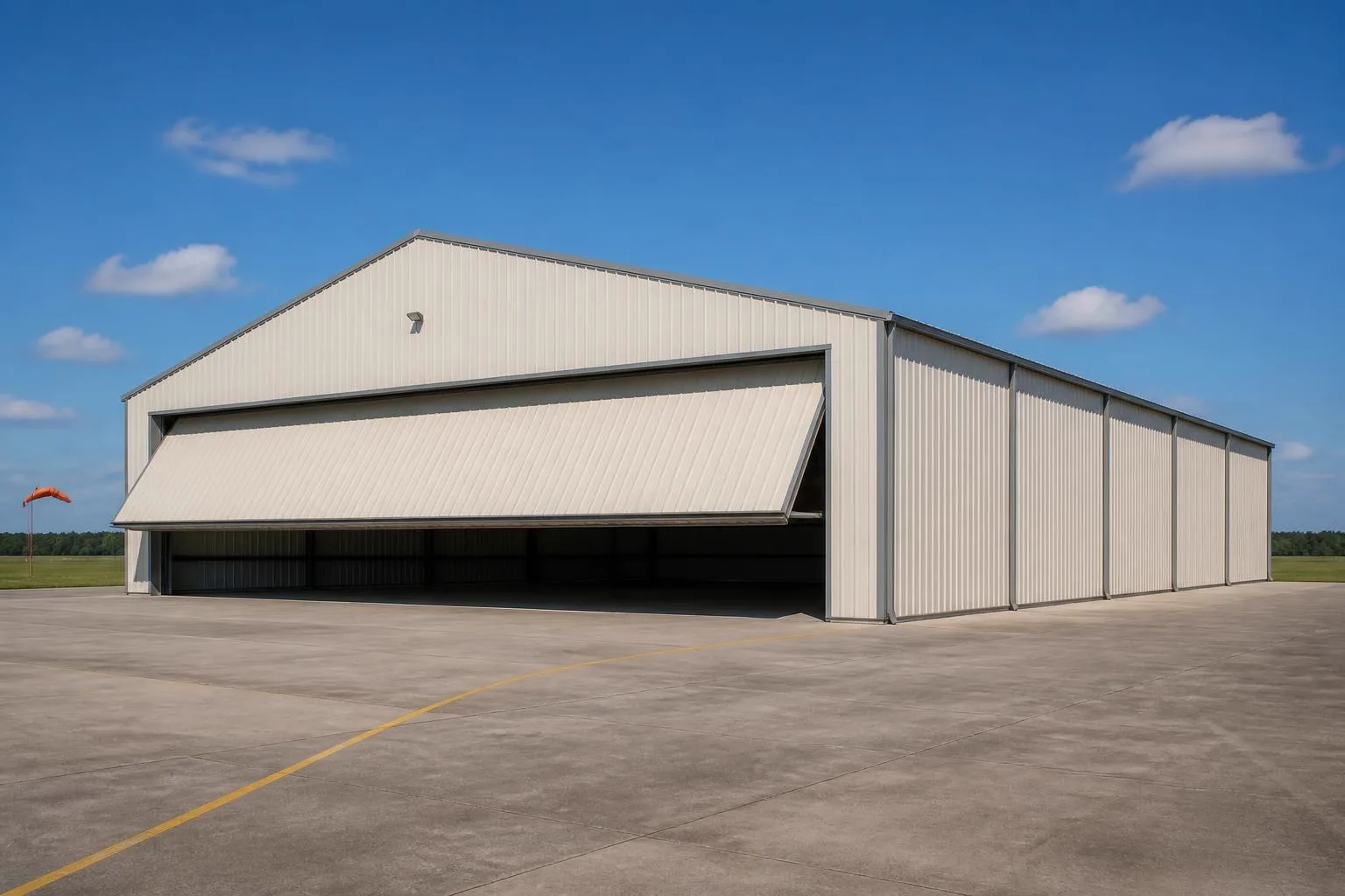
The intersection
What a Georgia site actually changes about a hangar
The clear-span structure does not change from province to province. What changes is the terrain the apron sits on and how much open acreage is realistically available.
The New Georgia Encyclopedia, drawing on University of Georgia geography scholarship, documents Georgia as spanning five distinct physiographic provinces: the Appalachian Plateau, the Valley and Ridge, the Blue Ridge, the Piedmont, and the Coastal Plain. Those are not abstract regional labels — the Georgia Geologic Survey's own physiographic map goes further, naming specific sections such as the Lookout Mountain District of the Appalachian Plateau province in the state's northwest corner. A hangar apron sited on that kind of ridge-and-valley ground is planned around a very different grading and drainage brief than one sited on the flat, sandy Coastal Plain in the south. Neither this page nor a generic hangar guide can tell you which condition your specific field has; describing your province and section to your builder, using the state's own geologic survey terminology if you can, replaces guesswork with a real starting point.
Georgia's land area, measured at 57,513.5 square miles by the 2010 Census, ranks 21st among states — large enough that regional generalizations break down quickly across it. A north Georgia general-aviation field near the Blue Ridge foothills and a coastal Georgia strip near Savannah are both 'in Georgia,' but they are not planning the same site.
USDA's 2022 Census of Agriculture shows Georgia with 39,264 farms averaging 253 acres each — a larger average parcel than several Northeastern states carry, and up 8% since 2017 even as the farm count fell 7%. That combination of larger average parcels and a shrinking farm count points toward more open rural acreage becoming available for uses like a private hangar strip, though any specific parcel's suitability still depends on zoning, drainage and access that only a site visit and your local building department can confirm.
Site context
How Georgia's five provinces change hangar siting
The New Georgia Encyclopedia's province breakdown is the clearest way to anticipate site conditions before requesting a quote.
Appalachian Plateau and Valley and Ridge (northwest Georgia)
Ridge-and-valley terrain, including the Georgia Geologic Survey's named Lookout Mountain District. Grading here often means working around ridgelines rather than a flat, open apron.
Blue Ridge and Piedmont (north-central Georgia)
Rolling upland terrain transitioning to the Piedmont's gentler hills, where much of the state's population and general-aviation infrastructure sits.
Coastal Plain (south and southeast Georgia)
Flatter, sandier ground covering roughly the southern half of the state. Grading is often more straightforward, but water table depth near the coast is worth confirming.
Market context
An active construction market and larger average parcels
Georgia's permitting pace and farmland pattern both point toward a market with real capacity, but neither substitutes for a site-specific plan.
The Census Bureau recorded 63,621 new privately-owned housing units authorized statewide in 2023, ranking Georgia 5th among all states even after a drop from 77,542 units in 2022. That volume signals local permit offices across the state are well accustomed to processing new-construction applications, though hangar-specific approvals still route through the relevant airport authority and your local building department rather than a general housing-permit process.
USDA's farm-size data — 253 acres average, up 8% since 2017 despite a 7% drop in total farm count — suggests land is consolidating into somewhat larger holdings in parts of the state, which can mean more contiguous acreage for a private strip than in states where farms are shrinking. That is a statewide average, not a guarantee for any particular county; confirm actual parcel size and zoning locally before committing to a hangar layout.
- Confirm your province and section
- Use the Georgia Geologic Survey's terminology when describing your site to a builder for a faster, more accurate grading estimate.
- Check airport-authority requirements early
- Leasehold and taxiway-clearance rules are set by the authority, not by the state's general construction pace.
- Verify parcel size and zoning locally
- Statewide farm-size averages do not guarantee a specific parcel supports your intended footprint.
Get Georgia aircraft hangar quotes
Tell us your airframe size, which physiographic province your field sits in, and your door preference. We route it with the Georgia and hangar context already attached.
Configuration
How Georgia hangar programs typically split
Given the state's mix of airport-adjacent development and larger rural parcels, Georgia hangar programs span a wider range than a small, land-scarce state.
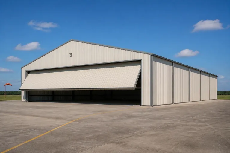 Single-aircraft private hangarA compact clear-span footprint on a private strip or leased airport row space, common statewide.Multi-bay hangar with shared apronSeveral bays under one roofline, more feasible where larger Piedmont or Coastal Plain parcels support shared apron and taxiway access.Hangar with attached workshop or officeA dedicated maintenance or office bay attached to the hangar, useful on a rural parcel that cannot support a second structure.
Example Configuration — for planning purposes only.
Footprint
Sizes that fit a Georgia site
Because Georgia's average parcel size and terrain vary widely by province, footprints here range from compact leasehold bays to larger multi-aircraft configurations.
50′ × 50′
2,500 sq ft
A single-engine private aircraft footprint with modest storage margin.
60′ × 60′
3,600 sq ft
Room for a larger single aircraft or a small multi-bay split.
80′ × 100′
8,000 sq ft
A multi-bay configuration where a larger Piedmont or Coastal Plain parcel supports shared apron access.
100′ × 150′
15,000 sq ft
Where a larger rural holding genuinely supports a hangar row or maintenance-scale operation.
Example Configuration — for planning purposes only.
Footprint pages carry the room-by-room layout detail; this page only explains why the Georgia brief spans this range.
Preparation
Before you request a Georgia hangar quote
These items address frequent sources of re-quoting on a Georgia hangar project.
Step 1
Identify your physiographic province and section
Use Georgia Geologic Survey terminology so your builder can anticipate grading conditions before a site visit.
Step 2
Confirm your lease or parcel boundary with the airport authority
Airport-leased sites have setback and taxiway-clearance rules the authority controls.
Step 3
Verify parcel size and zoning with your local building department
Statewide farm-size averages are not a substitute for confirming your specific parcel's constraints.
Step 4
Ask about drainage near the coast if applicable
Coastal Plain sites should confirm water table depth before finalizing apron grading.
Questions
Georgia aircraft hangar questions
Honest state-level answers, with anything jurisdiction- or airport-specific routed to the office that actually owns it.
That depends on your parcel's zoning, any airport-authority requirements if it connects to a public field, and local building rules — all set locally rather than by a single statewide answer. Your local building department and, if relevant, the airport authority are the right first calls.
Yes. The New Georgia Encyclopedia documents five distinct physiographic provinces across the state, from the ridge-and-valley Appalachian Plateau in the northwest to the flat Coastal Plain in the south, and the Georgia Geologic Survey maps named sections within them.
There is no official minimum. Georgia's 2022 farm data shows an average parcel of 253 acres, larger than in several Northeastern states, which supports more private-strip development, but your specific parcel's suitability still depends on local zoning and site conditions.
Georgia authorized 63,621 new housing units in 2023, ranking 5th among all states, which suggests local permit offices statewide are experienced with new construction — though hangar-specific approvals still route through your airport authority and building department.
We do not publish state-level prices, because a credible number depends on span, door type, site work and current material costs. Our cost pages explain what drives the number; a quote reflects your specific project.
Sources for the Georgia facts on this page
This page states no code requirement, wind speed, snow load, permit rule, price or supplier claim. The state-specific facts it does use are listed with their publisher below.
The New Georgia Encyclopedia (citing University of Georgia geography scholarship) describes Georgia as encompassing parts of five distinct physiographic provinces: the Appalachian Plateau, the Valley and Ridge, the Blue Ridge, the Piedmont, and the Coastal Plain.
New Georgia Encyclopedia (University of Georgia Press / Georgia Humanities) · Reference overview · Tier 2
https://www.georgiaencyclopedia.org/articles/geography-environment/geographic-regions-of-georgia-overview/The Georgia Environmental Protection Division / Georgia Geologic Survey publishes a detailed physiographic map and regional descriptions of Georgia, including named sections such as the Lookout Mountain District of the Appalachian Plateau province in the state's northwest corner.
Georgia Environmental Protection Division, Georgia Geologic Survey · 1988 (state reference map) · Tier 2
https://epd.georgia.gov/document/publication/sm-4-physiographic-map-georgia-12000000-1988/downloadGeorgia's total land area was measured at 57,513.5 square miles as of the 2010 Census, the 21st largest of any U.S. state.
U.S. Census Bureau · 2010 Census · Tier 1
https://www.census.gov/geographies/reference-files/2010/geo/state-local-geo-guides-2010/georgia.htmlGeorgia had 39,264 farms in 2022, down 7% from 2017, covering 9,939,313 acres of land in farms with an average farm size of 253 acres (up 8% since 2017).
USDA National Agricultural Statistics Service (NASS) · 2022 · Tier 1
https://www.nass.usda.gov/Publications/AgCensus/2022/Online_Resources/County_Profiles/Georgia/cp99013.pdfGeorgia local building permit offices authorized 63,621 new privately-owned housing units in 2023, ranking 5th among states, down from 77,542 units in 2022.
U.S. Census Bureau · 2023 (with 2022 comparison) · Tier 1
https://www.census.gov/construction/bps/pdf/2023annualhighlights.pdf