
Aircraft Hangar · TX
Steel Aircraft Hangars in Texas
A private or small commercial hangar in Texas is shaped as much by where the strip sits as by the aircraft it will hold. Texas has no single statewide building code authority for most construction, so review of a hangar project happens city by city and county by county rather than under one uniform standard. If the hangar sits inside the Texas Department of Insurance's designated coastal catastrophe area, a separate windstorm certification track applies before the building can be insured. And because the state spans 261,226 square miles across Gulf Coastal Plains, Interior Plains, Great Plains and Basin and Range terrain, the exposure a hangar's large doors face on a High Plains strip is not the exposure they face on the Gulf Coast. This page addresses those Texas-specific realities rather than repeating generic hangar construction advice.
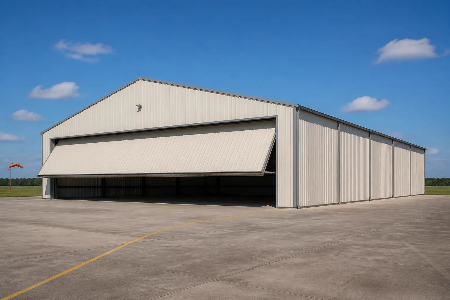
The intersection
What a Texas site actually changes about a hangar
A hangar's core design is set by the aircraft it houses, but in Texas the rules that reach it and the wind it faces vary sharply by location.
Texas does not have a single statewide building code authority enforcing a mandatory code for most construction; adoption and enforcement happen primarily at the local and municipal level. For a hangar, that means a project at a private strip in one county can face a different local review path — or none at all — than an outwardly similar hangar a hundred miles away. Ask the local building department what applies to your specific parcel and airstrip before finalizing a design, rather than assuming a neighboring county's process carries over.
Coastal siting adds a distinct layer. The Texas Department of Insurance administers a Windstorm Inspection Program dating to a 1987 state law, and the Texas Windstorm Insurance Association requires a Windstorm Certificate of Compliance for structures inside a designated catastrophe area covering 14 coastal counties plus part of Harris County east of Highway 146. NOAA's Hurricane Research Division records 64 direct hurricane hits on Texas between 1851 and 2018, second only to Florida — the long-run backdrop for why that certification track exists. A hangar with a large clear-span door inside that catastrophe area that needs windstorm coverage is a materially different administrative and design project than the same hangar sited well inland.
Terrain shapes the exposure a hangar's door and structure actually see day to day. The Bureau of Economic Geology maps Texas's major physiographic regions as Gulf Coastal Plains, Interior Plains and Blackland Prairies, Great Plains or High Plains, and the Basin and Range Trans-Pecos. An open High Plains strip with few windbreaks presents different sustained-wind conditions for a large hangar door than a strip tucked into Interior Plains terrain, which is a siting and orientation conversation worth having before you commit to a door location.
Site context
How hangar siting differs across Texas
The Bureau of Economic Geology's physiographic regions frame how exposure and ground conditions differ for a hangar pad and door orientation.
Gulf Coastal Plains
Coastal and near-coastal strips face the windstorm certification question directly, plus flat, often wet ground that needs positive drainage away from the slab and apron.
Interior Plains / Blackland Prairies
Central Texas clay-heavy soils shrink and swell with moisture, which makes slab and foundation prep a bigger factor than door orientation on many of these strips.
Great Plains (High Plains)
Open, elevated Panhandle and West Texas terrain with few natural windbreaks; door orientation relative to prevailing wind is a practical design conversation here.
Basin and Range (Trans-Pecos)
Mountainous, arid far-west Texas. Access, grading for a level apron and wind funneling through terrain gaps are the site-specific concerns.
Certification path
Coastal hangars carry a certification step inland hangars skip
Whether a hangar needs windstorm certification is determined by the parcel's location relative to TDI's designated catastrophe area, not by the size or use of the building.
A hangar owner planning to insure the structure under a windstorm policy and sited inside the 14-county coastal catastrophe area, or the specified part of Harris County, should raise the Windstorm Certificate of Compliance question with TDI or their insurer before ordering, since the certification path affects documentation and inspection timing rather than the building's structural concept.
Inland hangar owners do not encounter this step at all, which is a genuine difference in project scope between two hangars of identical size in the same state — the distinction is about the parcel's map location, not the aircraft or the building's specification.
Get Texas hangar quotes
Tell us your region, your strip's coastal status and your aircraft dimensions. We route it with the Texas and hangar context already attached.
Configuration
What Texas hangar briefs are usually asked to do
Texas hangar enquiries split between private-strip storage, working ranch aviation, and small commercial or FBO-adjacent use, and the door and clear-span priorities shift accordingly.
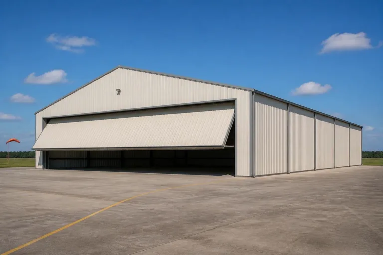 Private strip hangarSized to one or two aircraft with a bifold or sliding door matched to wingspan. Door clearance is the detail most often underspecified at quote stage.Ranch and agricultural aviationStorage for crop-dusting or utility aircraft alongside working equipment. Access for ground vehicles and fuel handling matter as much as the airframe fit.Coastal-zone hangarA hangar inside the TDI catastrophe area that will need windstorm certification if it is to be insured under a windstorm policy. Confirm the certification path before ordering.
Example Configuration — for planning purposes only.
Footprint
Sizes that suit common Texas hangar briefs
Hangar footprints in Texas are set primarily by aircraft dimensions and door clearance rather than by land availability, which is rarely the constraint here.
40′ × 50′
2,000 sq ft
A common minimum for a single light aircraft with room to move around it.
60′ × 60′
3,600 sq ft
Fits a larger single aircraft or two smaller aircraft with taxi clearance.
80′ × 100′
8,000 sq ft
A working configuration for agricultural aircraft plus support equipment.
100′ × 120′
12,000 sq ft
Where a hangar starts to serve multiple aircraft or small commercial use.
Example Configuration — for planning purposes only.
Footprint pages carry layout and door detail; this page explains why Texas briefs land in this range.
Preparation
Before you request a Texas hangar quote
Four items resolved in advance make the difference between a comparable quote and a re-quote.
Step 1
Contact your local building department
Texas has no single statewide authority for most construction, so your city or county is the only reliable source on what your strip requires.
Step 2
Check whether your strip is in the coastal catastrophe area
If it is, ask about the Windstorm Certificate of Compliance process before ordering, especially if you plan to insure the hangar.
Step 3
Confirm your region's wind exposure and terrain
An open High Plains strip and a sheltered Interior Plains strip call for different door orientation and site planning.
Step 4
Give exact aircraft dimensions and door clearance needs
A hangar priced to a rough aircraft size is a frequent cause of a second round of quoting once wingspan and tail height are confirmed.
Questions
Texas aircraft hangar questions
Questions we can answer honestly at state level, with the rest routed to whoever actually owns them.
Texas has no single statewide building code authority for most construction, so permit rules are set locally. Your local building department is the only reliable source on what your city or county requires for a hangar on your parcel.
Only if your parcel is inside TDI's designated catastrophe area — 14 coastal counties plus part of Harris County east of Highway 146 — and you intend to insure the hangar under a windstorm policy. Check with TDI or your insurer before ordering.
There is no official typical size. Enquiries most often fall between roughly 40x50 for a single light aircraft and 100x120 for larger or multi-aircraft configurations, driven by the aircraft rather than a regional norm.
We do not publish state-level prices, because a credible number depends on specification, door type, site work and current material pricing. Our cost pages cover what drives the number.
Site conditions vary by region — an open High Plains strip and a sheltered Interior Plains strip present different wind exposure — but the right orientation for your strip is a site-specific decision for your builder, not a statewide rule.
Any FAA or airspace-related requirement is set by federal aviation rules and your specific airport or strip status, not by this page. Confirm directly with the FAA or your airport authority.
Sources for the Texas facts on this page
This page states no code requirement, wind speed, snow load, permit rule, price or supplier claim. The state-specific facts it does use are listed with their publisher below.
Texas does not have a single statewide building code authority enforcing a mandatory building code for most construction; code adoption and enforcement occur primarily at the local/municipal level.
KHOU 11 (Verify) / Texas State Law Library · current · Tier 3
https://www.khou.com/article/news/verify/verify-statewide-enforced-residential-building-code-texas/285-cc7c6343-cdf1-4751-b855-713601cf6b8bThe Texas Department of Insurance (TDI) administers a Windstorm Inspection Program for coastal construction, established under a 1987 state law, to allow structures to qualify for windstorm coverage.
Texas Department of Insurance (TDI) · since 1988 · Tier 2
https://www.tdi.texas.gov/wind/generalquestio.htmlThe Texas Windstorm Insurance Association (TWIA) requires coastal properties to hold a Windstorm Certificate of Compliance under Texas Insurance Code Chapter 2210 before TWIA wind/hail coverage is issued; TDI states the designated catastrophe area covers 14 coastal counties and part of Harris County east of Highway 146.
Texas Windstorm Insurance Association (TWIA) / Texas Department of Insurance (TDI) · current · Tier 2
https://www.tdi.texas.gov/tips/need-windstorm-inspection.htmlTexas's total land area was 261,226 square miles per the 2008 Census Bureau state area measurements, the largest of the contiguous 48 states.
U.S. Census Bureau, Statistical Abstract of the United States: 2011 · 2008 · Tier 1
https://www2.census.gov/library/publications/2010/compendia/statab/130ed/tables/11s0355.pdfThe USGS-published Bureau of Economic Geology map identifies major Texas physiographic regions including the Gulf Coastal Plains, Interior Plains, Great Plains, and Basin and Range provinces.
Bureau of Economic Geology, University of Texas at Austin · 1996 · Tier 2
https://txmn.org/st/files/2022/09/BEG_PHYSIOGRAPHY_1996.pdfFEMA's National Risk Index scores U.S. communities, including Texas counties, across 18 defined natural hazard types.
FEMA · current dataset · Tier 1
https://www.fema.gov/about/openfema/data-sets/national-risk-index-dataNOAA's Hurricane Research Division data show Texas has recorded 64 direct hurricane hits (all categories) for 1851-2018, second only to Florida.
NOAA Atlantic Oceanographic and Meteorological Laboratory (AOML), Hurricane Research Division · 1851-2018 · Tier 1
https://www.aoml.noaa.gov/hrd/tcfaq/E19.html