
Aircraft Hangar · FL
Aircraft Hangars in Florida
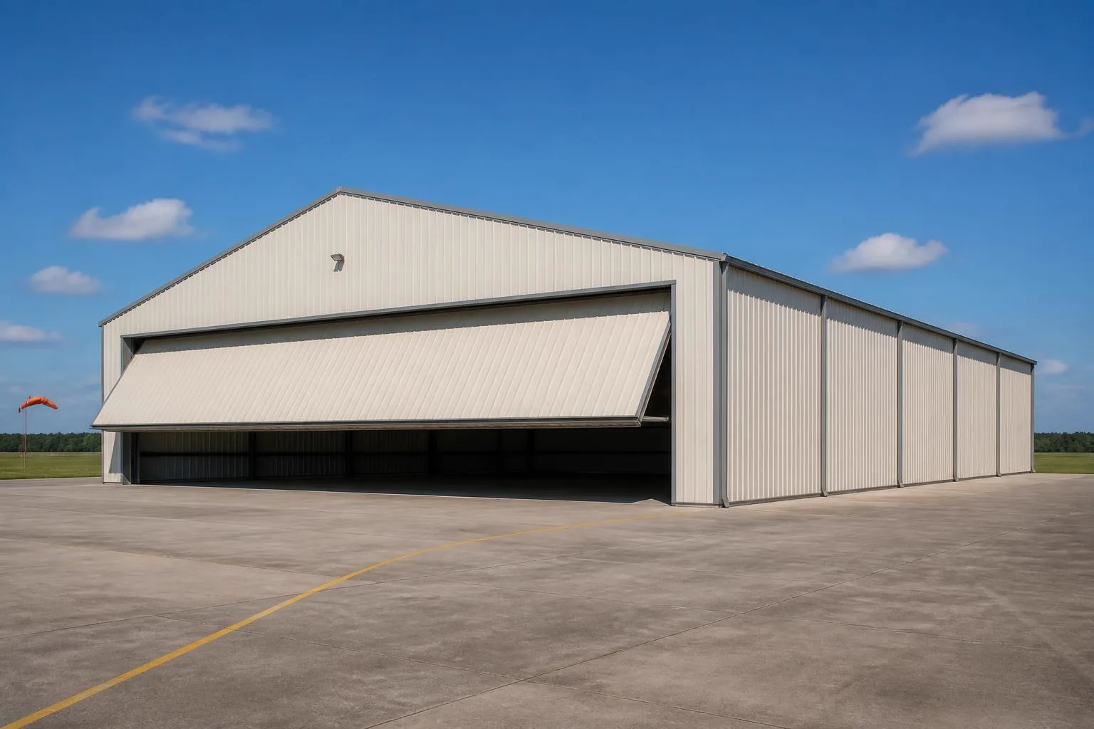
A hangar's clear-span door is its largest single surface, and in Florida that surface sits in the state NOAA's Hurricane Research Division records as having the most historical direct hurricane hits of any U.S. state across its 1851-2018 dataset. That single fact reorders the planning conversation: the door and the frame that carries it are the engineering question, ahead of layout or interior height. FEMA's National Risk Index widens that lens further, evaluating Florida communities against 18 separate natural hazard categories rather than hurricane wind alone. Underneath all of it, Florida is also a genuinely large state — 53,603 square miles of land — with a working farm sector of 44,703 farms averaging 217 acres each, so a private or agricultural airstrip hangar is a real, distinct planning case here alongside municipal-field hangar leaseholds.
The intersection
Why the door is the first engineering conversation here
A hangar's clear-span door is its largest opening on its largest wall. In a state with Florida's hurricane record, that opening is where the planning conversation starts.
NOAA's Hurricane Research Division records Florida as the U.S. state with the most historical direct hurricane hits across its 1851-2018 landfall dataset. A hangar door is not a standard-sized opening the way a garage door is — it is engineered around the aircraft it needs to admit, which means it is also the single largest wind-exposed surface on the building. In a state with Florida's documented hurricane frequency, the header, track and jamb detailing around that door carries more of the structural conversation than it might in an interior state, and it is a standard part of what a Florida building department will want documented.
The Florida Building Code, administered statewide by the Florida Building Commission, also defines a High-Velocity Hurricane Zone limited to Broward and Miami-Dade counties. A hangar sited in either of those two counties follows a documentation path the rest of the state does not use, which is worth confirming with your local building department before you request drawings.
Hazard scope
FEMA's hazard framework is wider than wind alone
Florida's hazard profile, as FEMA frames it, covers considerably more ground than hurricane wind by itself.
FEMA's National Risk Index evaluates U.S. communities, including every Florida county, against 18 separately defined natural hazard types — hurricane and strong wind among them, but also inland flooding, hail, lightning and others. A hangar site plan that only budgets for wind is answering a narrower question than the one FEMA's own framework asks. This page does not cite specific county-level risk scores because they were not independently verified from FEMA's own data in this review; your county's actual risk profile is available directly from FEMA's National Risk Index tool.
That broader hazard lens matters for a hangar specifically because the building's drainage, lightning protection and door-seal detailing all sit downstream of which hazards a given site genuinely faces — and those vary by county far more than a single statewide hurricane statistic suggests. A hangar's flat or low-slope roof also collects and sheds a large volume of rainfall relative to its footprint, so the same county-level hazard review is a reasonable place to raise roof drainage capacity alongside wind and lightning exposure.
- Pull your county's FEMA National Risk Index profile
- It covers 18 hazard categories, not only hurricane wind, before you finalize a site plan.
- Ask whether your county falls inside the HVHZ
- Only Broward and Miami-Dade counties carry that documentation path under the Florida Building Code.
- Confirm lightning protection expectations locally
- This is a county-level building-department question, not a statewide standard this page can state.
Configuration
How Florida hangar projects typically split
Florida's mix of coastal municipal fields and a substantial rural farm sector supports a wider range of hangar use cases than a smaller, less agricultural state.
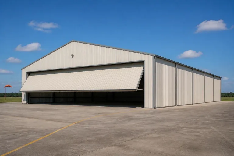 Single-aircraft leasehold hangarA compact clear-span bay on an airport-leased row, one recurring municipal-field configuration alongside multi-bay rows and mixed-use hangars.Private hangar on a rural airstripSited on a larger rural parcel, consistent with Florida's 44,703-farm agricultural base documented by USDA.Hangar with attached maintenance or office bayAn added bay for upkeep or storage, useful where a rural parcel cannot support a second structure.
Example Configuration — for planning purposes only.
Get Florida aircraft hangar quotes
Tell us your airframe size, whether your county falls inside the HVHZ, and your door preference. We route it with the Florida and hangar context already attached.
Footprint
Sizes that fit a Florida hangar site
Florida's coastal leasehold rows and larger rural farm parcels support a wide range of hangar footprints.
50′ × 50′
2,500 sq ft
A single-engine private aircraft footprint with modest storage margin.
60′ × 60′
3,600 sq ft
Room for a larger single aircraft or a compact multi-bay split.
80′ × 100′
8,000 sq ft
A multi-bay configuration suited to a larger rural or airpark parcel.
100′ × 150′
15,000 sq ft
Where a large rural holding supports a hangar row or maintenance-scale operation.
Example Configuration — for planning purposes only.
Footprint pages carry the room-by-room layout detail; this page only explains why the Florida brief spans this range.
Preparation
Before you request a Florida hangar quote
These items address frequent sources of re-quoting on a Florida hangar project.
- Confirm whether your county sits inside the HVHZBroward and Miami-Dade counties follow a distinct Florida Building Code documentation path.
- Ask your building department for the current design wind speedThis is set locally and drives the door header and frame bracing, the largest engineering variable on a hangar.
- Pull your county's FEMA National Risk Index profileIt reflects 18 hazard categories, wider than hurricane wind alone.
- Verify airport-authority leasehold terms if applicableTaxiway clearance and setback rules are set by the authority, not by the state's general construction code.
- Ask how the door track and header interact with the hangar's roof framingOn a clear-span structure the door opening removes a large share of the wall's bracing capacity, so the header and adjacent framing carry more of that load than on a smaller opening.
Questions
Florida aircraft hangar questions
Honest state-level answers, with anything jurisdiction- or airport-specific routed to the office that actually owns it.
NOAA's Hurricane Research Division records Florida as the U.S. state with the most historical direct hurricane hits, and a hangar's clear-span door is its largest single wind-exposed surface. That combination is why door header and frame detailing gets more scrutiny in a Florida permit review.
Only if your county is Broward or Miami-Dade. The Florida Building Code, administered by the Florida Building Commission, limits the HVHZ documentation path to those two counties; the rest of the state follows the standard statewide code.
FEMA's National Risk Index evaluates Florida communities across 18 separate hazard categories, including inland flooding, hail and lightning alongside hurricane and strong wind. Specific county-level scores should be confirmed directly through FEMA's own tool.
USDA's 2022 Census of Agriculture recorded 44,703 farms in Florida, so rural airstrip hangars are a real and established use case here, but zoning, airport-authority rules if applicable, and your local building department still govern any specific parcel.
We do not publish state-level prices, because a credible number depends on span, door type, site work and current material costs. Our cost pages explain what drives the number; a quote reflects your specific project.
Sources for the Florida facts on this page
This page states no code requirement, wind speed, snow load, permit rule, price or supplier claim. The state-specific facts it does use are listed with their publisher below.
NOAA's Hurricane Research Division records Florida as the U.S. state with the most historical hurricane direct hits/landfalls, based on the 1851-2018 dataset.
NOAA Atlantic Oceanographic and Meteorological Laboratory (AOML), Hurricane Research Division · 1851-2018 · Tier 1
https://www.aoml.noaa.gov/hrd/tcfaq/E19.htmlFEMA's National Risk Index scores U.S. communities, including Florida counties, across 18 defined natural hazard types.
FEMA · current dataset · Tier 1
https://www.fema.gov/about/openfema/data-sets/national-risk-index-dataFlorida's total land area was 53,603 square miles per the 2008 Census Bureau state area measurements.
U.S. Census Bureau, Statistical Abstract of the United States: 2011 · 2008 · Tier 1
https://www2.census.gov/library/publications/2010/compendia/statab/130ed/tables/11s0355.pdfFlorida had 44,703 farms in 2022 per the USDA Census of Agriculture.
USDA National Agricultural Statistics Service (NASS) · 2022 · Tier 1
https://www.nass.usda.gov/Publications/AgCensus/2022/Full_Report/Volume_1,_Chapter_1_State_Level/Florida/The Florida Building Code defines a High-Velocity Hurricane Zone (HVHZ) consisting of Broward and Miami-Dade counties.
Florida Building Commission (via UpCodes republication) · 2023 FBC, 8th edition · Tier 3
https://up.codes/d/high-velocity-hurricane-zone-hvhz