
Aircraft Hangar · NY
Aircraft Hangars in New York
New York's hangar sites are not one condition. Upstate general-aviation fields often sit near or within the state's working farmland — 30,650 farms across 6,502,286 acres in 2022, a 212-acre average — so private hangar buyers there sometimes have real acreage to work with. Downstate and metro-adjacent fields are the opposite: leased, tightly bounded rows where the airport authority controls setback and taxiway clearance. Wherever the field sits, winter operations are the shared design question: Albany's 1991-2020 normals record roughly 61 inches of annual snowfall, and FEMA's National Risk Index scores winter weather among the hazard types it tracks for every New York county. A hangar door and apron here are planned for daily winter reliability, not just span.
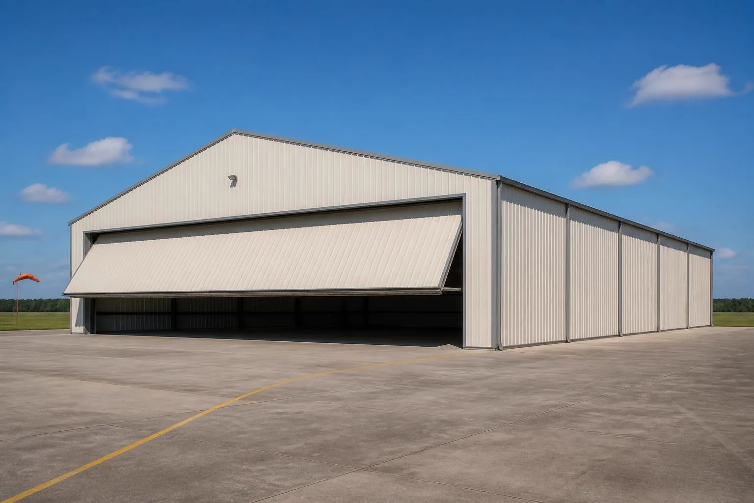
The intersection
What a New York site actually changes about a hangar
The building type does not change. What changes is how much open land the field has around it and how much winter weather the daily operation has to absorb.
New York's 2022 Census of Agriculture puts the state's farm count at 30,650, an 8% drop since 2017, spread across 6,502,286 acres at a 212-acre average. That split matters for hangar siting precisely because it is not uniform statewide: upstate general-aviation fields ring genuinely open farmland where a buyer can sometimes negotiate a private strip or a larger leasehold, while fields near the downstate metro sit inside dense development where an airport-leased row, not open acreage, is the realistic option.
The second change is winter operations. Albany's NOAA 1991-2020 normals show about 40.9 inches of annual precipitation and roughly 61 inches of average annual snowfall. Nothing here states a design snow load — that is an engineering and code question for your local building department — but the operational reality is that a hangar door has to open reliably through a New York winter, apron drainage has to move meltwater away from the threshold, and there has to be a place to stack plowed snow that does not block the taxiway.
The third change is regional variance within the state itself. NOAA NCEI publishes 1991-2020 normals station by station across New York, including a station at Albion in the west, precisely because lake-effect-influenced areas can see snowfall that differs materially from the Albany benchmark used elsewhere on this page. Confirm the normals for your specific field's station rather than assuming a single statewide figure applies.
Site context
How New York geography changes hangar siting
Field location within New York changes both land availability and the exposure a hangar has to plan for.
Upstate and farm-adjacent fields
Located among the state's 30,650 farms and 6,502,286 acres of farmland, these fields more often have room for a private strip or a larger leasehold, with land negotiations run directly with landowners rather than solely through an airport authority.
Western New York
NOAA maintains a 1991-2020 normals station at Albion in this region; lake-effect conditions here can produce heavier snowfall than the Albany benchmark cited elsewhere on this page, which is a reason to pull local station data before finalizing apron and door plans.
Downstate and metro-adjacent fields
Tightly bounded, typically leased airport rows where the airport authority controls setback, taxiway clearance and lease terms, and where land assembly for a private strip is not realistically available.
Exposure
Roughly 61 Inches of Annual Snow Shapes Door and Apron Planning
A hangar that has to open reliably through a New York winter is planned differently from one in a milder or drier climate.
Albany's 1991-2020 climate normals show about 40.9 inches of annual precipitation and roughly 61 inches of average annual snowfall. This is a station normal, not a design value; your engineer and local building department own the actual load and code conversation. As an operational planning prompt, though, it means door threshold height, apron slope toward drainage, and dedicated snow-storage space near — but not blocking — the taxiway approach are worth resolving before the plan is finalized.
New York hangar buyers gravitate toward bifold or sliding clear-span doors mainly to avoid a center post that would complicate wing clearance, but the detail that separates a smooth winter from a maintenance headache is threshold sealing: a door that seats tightly against apron ice and drift resists the callbacks that hit owners near Albion-area stations, where lake-effect totals can run well past the Albany benchmark cited above.
- Door threshold height
- Coordinate with apron grading so meltwater and plowed snow do not pond against the door seal.
- Snow storage adjacent to the apron
- Reserve space that does not encroach on taxiway clearance or wingtip swing radius.
- Interior heating and condensation control
- Worth discussing with your builder if the hangar will be occupied or used for maintenance work through the winter.
Get New York aircraft hangar quotes
Tell us your airframe size, whether your field is upstate or downstate, and your door preference. We route it with the New York and hangar context already attached.
Configuration
How New York hangar programs typically split
Whether the site is upstate farm-adjacent acreage or a downstate leasehold row shapes which configuration makes sense.
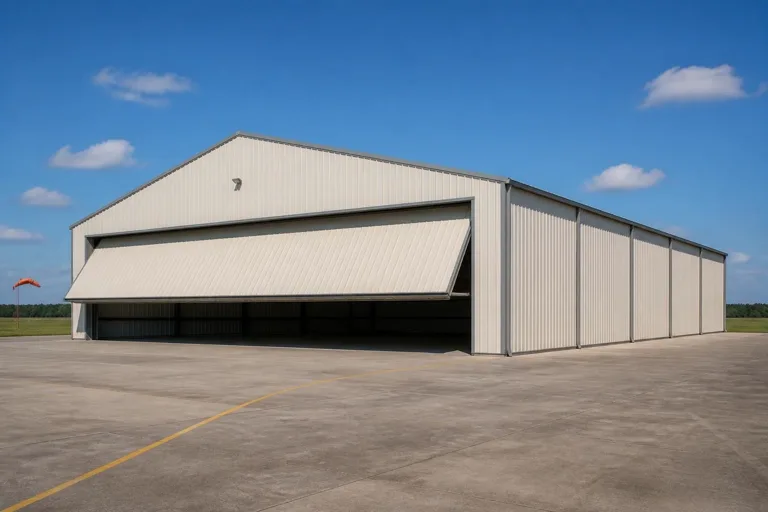 Single-aircraft private hangarA compact clear-span footprint sized to one airframe, common on both upstate private strips and leased airport rows.Multi-bay hangar with shared apronSeveral bays under one roofline sharing a single apron and taxiway connection, common at airport-leased fields near the metro area.Hangar with attached workshop or officeA dedicated maintenance or office bay attached to the hangar proper, useful on upstate parcels where land supports a larger combined footprint.
Example Configuration — for planning purposes only.
Footprint
Sizes That Suit New York's Two Site Conditions
Upstate acreage supports larger footprints; downstate and metro-adjacent leaseholds tend to be sized precisely to the airframe.
50′ × 50′
2,500 sq ft
A single-engine private aircraft footprint suited to a leased row or a modest upstate parcel.
60′ × 60′
3,600 sq ft
Room for a larger single aircraft or a small multi-bay split.
80′ × 100′
8,000 sq ft
A multi-bay configuration where the leasehold or upstate parcel supports shared apron access.
100′ × 150′
15,000 sq ft
Where upstate acreage genuinely supports a larger hangar row or maintenance-scale operation.
Example Configuration — for planning purposes only.
Footprint pages carry the room-by-room layout detail; this page only explains why the New York brief tends to land in this range.
Preparation
Before you request a New York hangar quote
These items address frequent sources of re-quoting on a hangar project here.
Step 1
Confirm your lease or parcel boundary
Airport-leased sites have setback and taxiway-clearance rules the authority controls; farm-adjacent private sites need the boundary and any easements confirmed with the landowner and county.
Step 2
Pull the local NOAA station normal for your field
New York's normals vary station by station; a field near Albion can see notably more snow than the Albany benchmark cited on this page.
Step 3
Decide door type and threshold height early
This single decision drives apron grading and winter operations more than any other variable.
Step 4
Plan snow storage and apron drainage up front
Cheaper to resolve now than to retrofit grading after the apron is poured.
Step 5
Pull your county's FEMA National Risk Index report
FEMA scores 18 hazard types by county, so checking your specific county gives a sourced picture rather than a statewide assumption.
Questions
New York aircraft hangar questions
Honest state-level answers, with anything jurisdiction- or airport-specific routed to the office that actually owns it.
That depends on your parcel's zoning, county planning rules, and any airport-authority requirements if it connects to a public field — all set locally rather than by a single statewide answer. New York's 212-acre average farm size means upstate parcels sometimes have room, but local approval still applies.
There is no official minimum, but New York's split between upstate farmland (30,650 farms, 6,502,286 acres in 2022) and dense downstate development means the realistic land picture differs sharply by region.
We do not state design loads on this page — that is an engineering and code question for your local building department. Albany's climate normals show roughly 61 inches of average annual snowfall, a useful prompt for door threshold and apron drainage planning, not a specification.
NOAA publishes 1991-2020 normals station by station across New York, including a station at Albion in the west, and lake-effect conditions there can differ materially from the Albany benchmark cited on this page. Pull your field's local station data rather than assuming a single statewide figure.
We do not publish state-level prices, because a credible number depends on span, door type, site work and current material costs. Our cost pages explain what drives the number; a quote reflects your specific project.
Sources for the New York facts on this page
This page states no code requirement, wind speed, snow load, permit rule, price or supplier claim. The state-specific facts it does use are listed with their publisher below.
New York had 30,650 farms in 2022, down 8% since 2017.
USDA National Agricultural Statistics Service (NASS) · 2022 · Tier 1
https://www.nass.usda.gov/Publications/AgCensus/2022/Online_Resources/County_Profiles/New_York/cp99036.pdfNew York had 6,502,286 acres of land in farms in 2022, an average farm size of 212 acres.
USDA NASS · 2022 · Tier 1
https://www.nass.usda.gov/Publications/AgCensus/2022/Online_Resources/County_Profiles/New_York/cp99036.pdfAlbany, NY's 1991-2020 annual normal precipitation is about 40.9 inches with roughly 61 inches of annual snowfall at the Albany station.
National Weather Service (NOAA), Albany NY office · 1991-2020 · Tier 1
https://www.weather.gov/media/aly/Climate/ALB_Normals_1991-2020.pdfNOAA NCEI's station normals product provides 1991-2020 monthly temperature, precipitation and snowfall normals for New York stations including Albion, NY, via the U.S. Climate Normals dataset.
NOAA National Centers for Environmental Information (NCEI) · 1991-2020 · Tier 1
https://www.ncei.noaa.gov/access/services/data/v1?dataTypes=MLY-TMAX-NORMAL,MLY-TMIN-NORMAL,MLY-TAVG-NORMAL,MLY-PRCP-NORMAL,MLY-SNOW-NORMAL&dataset=normals-monthly-1991-2020&format=pdf&stations=USC00300055FEMA's National Risk Index is the authoritative source for county- and state-level natural hazard exposure ratings across 18 hazard types, viewable via FEMA's own interactive report tool.
Federal Emergency Management Agency (FEMA) · Current NRI release · Tier 1
https://www.fema.gov/flood-maps/products-tools/national-risk-index