
Aircraft Hangar · CA
Aircraft Hangars in California
A private aircraft hangar is almost never a small-lot project, which puts it squarely into California's rural land patterns and its unusually wide range of site conditions. USDA's 2022 Census of Agriculture counted 63,134 California farms averaging 383 acres across 24,190,604 total acres in farms, the scale of parcel where a private airstrip and hangar are a realistic fit. The State Climatologist describes California's overall pattern as Mediterranean, but that single label spans north coast areas averaging over 100 inches of annual precipitation and southeastern deserts under 5 inches — a range that changes what a hangar door and apron actually have to tolerate depending on where in the state the parcel sits. Layered onto that is CAL FIRE's statutory Fire Hazard Severity Zone program, which maps land parcel by parcel and matters for any structure sited near vegetation, hangar included.
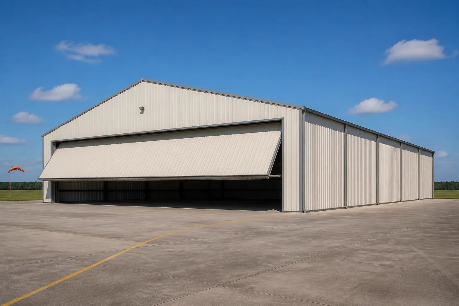
The intersection
What a California site changes about a private aircraft hangar
California's rural land base, extreme climate range, and parcel-specific fire mapping together shape where and how a hangar is realistically sited here.
Private hangars are a large-parcel project almost everywhere, and California's agricultural land base is a big part of where that land exists: USDA's 2022 Census of Agriculture counted 63,134 farms statewide averaging 383 acres, spanning 24,190,604 total acres in farms. That scale of parcel is where a private airstrip and hangar most often make practical sense, separate from any dedicated airpark development, though the specific zoning and surrounding land use on any one parcel still needs local confirmation given how varied California's agricultural operations are.
Climate then splits the hangar-siting conversation more sharply than almost any other state. The California State Climatologist describes the overall pattern as Mediterranean, with precipitation concentrated October through April and dry conditions the rest of the year — but that single label spans north coast areas averaging over 100 inches of annual precipitation and southeastern deserts under 5 inches. A hangar apron and door track near the north coast deal with sustained wet-season runoff for a large part of the year, which shapes drainage grading around the pad. A hangar sited in a southeastern desert location instead deals with heat, dust, and sun exposure, with rain a minor factor.
Terrain adds a third layer. The California Geological Survey divides the state into 11 recognized geomorphic provinces, including the Coast Ranges, Central Valley, Sierra Nevada, and Mojave and Colorado Deserts. A hangar or airstrip on flat Central Valley ground faces a simpler grading job than one on sloped Coast Range terrain or Sierra Nevada foothills, where elevation change and tree cover become part of the site plan before the hangar itself is designed.
Process
One statewide code, one parcel-specific fire lookup
California runs a single Title 24 framework, but CAL FIRE's Fire Hazard Severity Zone program is mapped parcel by parcel, and both matter for a hangar sited on rural or wildland-adjacent acreage.
The California Building Standards Commission administers Title 24 of the California Code of Regulations as one statewide building-standards framework, a more consistent baseline than a state where every city or county adopts its own schedule. Your local building department still applies that framework to the specific parcel and structure, so confirming requirements with them — plus any airspace considerations near a nearby airport or airstrip — remains the necessary first step.
Separately, CAL FIRE is required by Public Resources Code 4202 and Government Code 51178 to classify land into Fire Hazard Severity Zones based on fuel loading, slope, fire weather, and wind. This is a statutory mapping program, not a single statewide rating; the zone that applies depends on the specific parcel. A hangar sited on a rural airstrip near vegetation, tree lines, or wood outbuildings in a mapped zone is worth checking against that classification before placement and materials are finalized.
- Confirm your Title 24 permit path locally
- Your building department applies the statewide framework to your specific structure and parcel.
- Check your parcel's fire hazard zone
- CAL FIRE's mapping tools or your local fire authority can confirm the classification for your address.
- Coordinate airspace and airport-authority requirements
- These are specific to any nearby airport or airstrip and are not stated here.
Site context
How California's geomorphic provinces change hangar and airstrip siting
The California Geological Survey's 11 geomorphic provinces are a practical lens for anticipating site work under a large-door structure with an adjoining strip.
Central Valley
Generally flat terrain simplifies grading for both the hangar pad and any private airstrip, though summer heat becomes the bigger design consideration than drainage.
Coast Ranges
Higher precipitation and sloped terrain in parts of this province make apron drainage and grading around a hangar worth planning for up front.
Mojave and Colorado Desert provinces
Under 5 inches of average annual precipitation per the State Climatologist means dust control and door-track sealing matter more than drainage here.
Sierra Nevada and mountain provinces
Elevation and slope change access, grading, and airstrip sightlines; a local site visit is the only reliable way to plan a specific mountain-adjacent hangar.
Get California aircraft hangar quotes
Tell us your parcel's acreage, current use, region, and fire hazard zone status. We route it with the California and hangar context already attached.
Configuration
How California hangar projects typically differ by site
The same private-hangar brief plays out differently depending on whether the parcel is working farmland, coastal acreage, or interior desert ground near an airstrip.
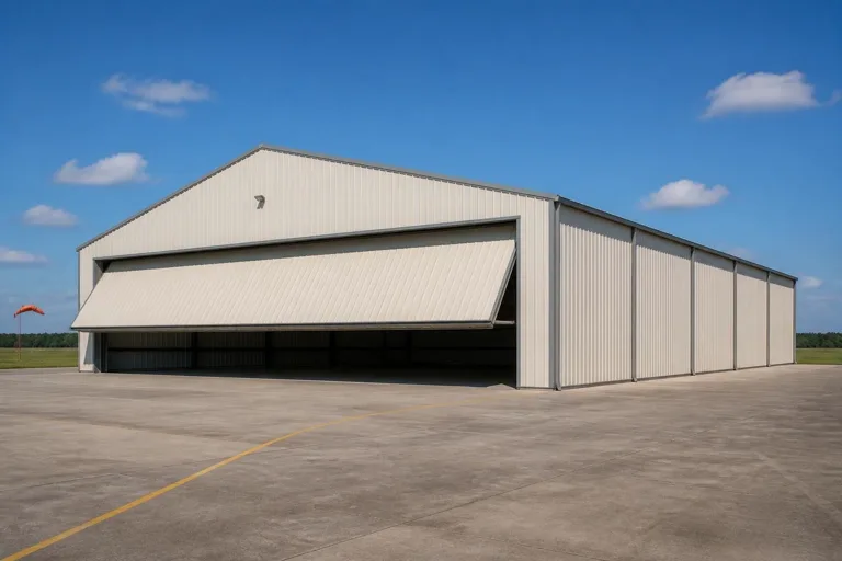 Farmstead airstrip hangarSited on the kind of large working parcel that dominates California's farm base (383-acre average per USDA's 2022 count), sharing access roads and utilities with existing agricultural buildings.North coast hangarSited where annual precipitation can exceed 100 inches, where apron drainage and corrosion-resistant door hardware are worth specifying up front.Interior desert airstrip hangarSited on arid, flat interior ground where dust suppression on the strip and door-track sealing against blowing grit matter more than drainage.
Example Configuration — for planning purposes only.
Preparation
Before you request a California hangar quote
These points shorten the path to a comparable quote for a rural, large-door structure.
- Describe the parcel's acreage and current useWorking farmland, bare rural acreage, and airpark lots each carry different site-prep starting points.
- State which region of the state your site is inCoastal, valley, and desert siting change apron drainage and dust priorities enough to shape the site plan.
- Check your parcel's Fire Hazard Severity ZoneAsk CAL FIRE or your local fire authority whether your address falls in a mapped zone before finalizing placement.
- Confirm with your local building department and airport authorityAirspace, permit, and load questions are jurisdiction-specific; we do not state them here.
Questions
California aircraft hangar questions
Honest state-level answers, with jurisdiction-specific items routed appropriately.
Most often on larger rural parcels; the state's farm base averages 383 acres per operation per USDA's 2022 count, which is representative of the parcel scale where a private airstrip and hangar are practical, though any specific site depends on local zoning and airspace factors.
Yes, and requirements run through your local building department applying the statewide Title 24 framework, plus airspace considerations near any airport or airstrip. Permit thresholds and adopted code edition detail are not stated here; confirm with your building department.
It can, since CAL FIRE's Fire Hazard Severity Zone program classifies land by fuel loading, slope, fire weather, and wind at the parcel level. A hangar sited near vegetation on a rural airstrip parcel in a mapped zone is worth checking against that classification with your local fire authority before siting.
North coast sites, which can average over 100 inches of annual precipitation per the State Climatologist, benefit from stronger apron drainage; southeastern desert sites deal more with dust and sun exposure. We do not state a design wind or snow value here.
FEMA's National Risk Index publishes hazard scores across 18 defined hazard types for U.S. communities. Look up your specific county rather than relying on a statewide generalization, and confirm findings with a licensed engineer.
We do not publish state-level prices; costs depend on size, door type, and site work. Our cost pages cover what drives the number.
Sources for the California facts on this page
This page states no code requirement, wind speed, snow load, permit rule, price or supplier claim. The state-specific facts it does use are listed with their publisher below.
California had 63,134 farms in 2022 per the USDA Census of Agriculture.
USDA National Agricultural Statistics Service (NASS) · 2022 · Tier 1
https://www.nass.usda.gov/Publications/AgCensus/2022/Full_Report/Volume_1,_Chapter_1_State_Level/California/Land in farms in California totaled 24,190,604 acres in 2022.
USDA NASS · 2022 · Tier 1
https://www.nass.usda.gov/Publications/AgCensus/2022/Full_Report/Volume_1,_Chapter_1_State_Level/California/The average farm size in California was 383 acres in 2022.
USDA NASS · 2022 · Tier 1
https://www.nass.usda.gov/Publications/AgCensus/2022/Full_Report/Volume_1,_Chapter_1_State_Level/California/The California State Climatologist describes California as having a Mediterranean climate overall, with precipitation concentrated October through April and dry conditions May through September, strongly modulated by mountains and the Pacific Ocean, with north coast areas averaging over 100 inches of annual precipitation and southeastern deserts under 5 inches.
California Department of Water Resources / Office of the State Climatologist (republished via CoCoRaHS) · n/a (narrative climatology) · Tier 2
https://media.cocorahs.org/docs/ClimateSum_CA.pdfCAL FIRE, under the state Office of the State Fire Marshal, is required by law (Public Resources Code 4202 / Government Code 51178) to classify lands into Fire Hazard Severity Zones based on fuel loading, slope, fire weather, and wind, without this evidence assigning any specific zone.
California Department of Forestry and Fire Protection (CAL FIRE) / Office of the State Fire Marshal · current program; 2024 FHSZ maps referenced · Tier 2
https://osfm.fire.ca.gov/what-we-do/community-wildfire-preparedness-and-mitigation/fire-hazard-severity-zonesThe California Geological Survey (state geological survey) divides the state into 11 recognized geomorphic provinces, including the Coast Ranges, Central Valley, Sierra Nevada, Basin and Range, Mojave Desert, Colorado Desert, Transverse Ranges, Peninsular Ranges, Klamath Mountains, Cascade Range, and Modoc Plateau.
California Department of Conservation, California Geological Survey · 2002 (revised) · Tier 2
https://www.conservation.ca.gov/cgs/documents/publications/cgs-notes/CGS-Note-36.pdfFEMA's National Risk Index scores U.S. communities, including California counties, across 18 defined natural hazard types.
FEMA · current dataset · Tier 1
https://www.fema.gov/about/openfema/data-sets/national-risk-index-data