
Aircraft Hangar · WA
Aircraft Hangars in Washington
A private aircraft hangar is almost never a small-lot project, which puts it squarely into Washington's rural land patterns. USDA's 2022 Census of Agriculture counted 32,076 Washington farms averaging 432 acres across 13,855,414 total acres in farms, the kind of parcel size where a private airstrip and hangar are practical. That land sits across a genuinely split climate: NOAA's Sea-Tac normal of 39.34 inches of annual precipitation on the west side versus the Washington Geological Survey's arid Columbia Basin covering the entire southeastern portion of the state, plus terrain shaped by the Cascade Range and Mount Rainier's 14,408-foot summit for anyone siting near the mountains.
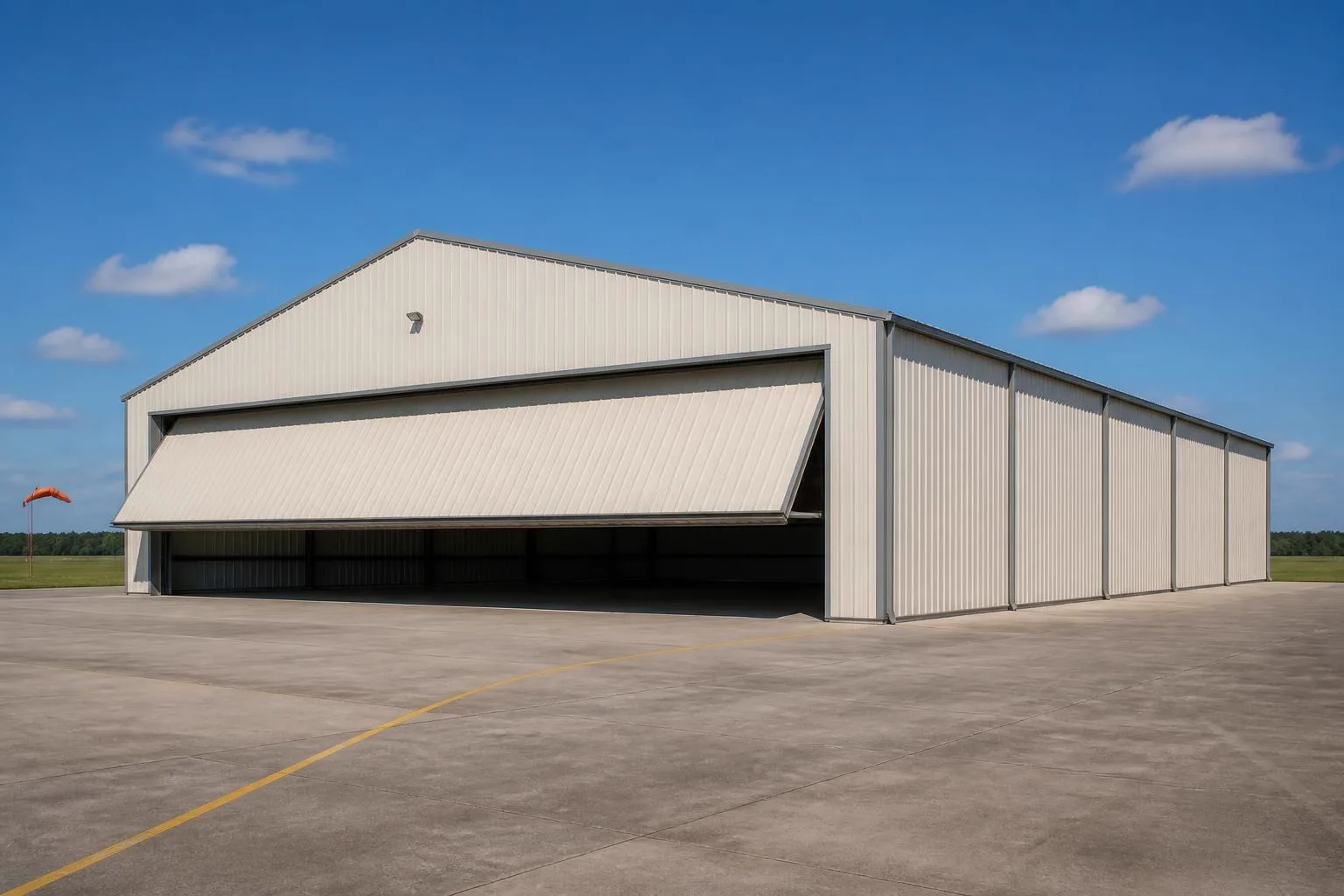
The intersection
What a Washington site changes about a private aircraft hangar
Washington's rural land base, split climate, and Cascade terrain together shape where and how a hangar is realistically sited here.
Private hangars are a large-parcel project almost everywhere, and Washington's agricultural land base is a big part of where that land exists: USDA's 2022 Census of Agriculture counted 32,076 farms statewide averaging 432 acres, spanning 13,855,414 total acres in farms. That scale of parcel is where a private airstrip and hangar most often make practical sense, separate from any dedicated airpark development. The farm count did fall from 35,793 in 2017, which is worth factoring into how stable a given rural parcel's zoning and surrounding land use might be over a long ownership horizon.
Climate then splits the hangar-siting conversation the same way it splits every other structure in this state. NOAA's Sea-Tac normal lists 39.34 inches of annual precipitation, representative of the west side the National Weather Service's Seattle office documents separately from the drier interior. A west-side hangar apron and door track deal with sustained wet conditions for a large part of the year, which affects drainage grading around the pad. East of the Cascades, the Washington Geological Survey's Columbia Basin — the arid lowland spanning the state's entire southeastern portion — presents the opposite challenge: heat, dust, and maintaining clear sightlines on a runway.
Terrain adds a third layer for anyone considering land near the Cascade Range. WA DNR's geologic reference documents Mount Rainier at 14,408 feet, the tallest point in the state and part of a range with meaningful elevation change and tree cover. A hangar or airstrip near that kind of terrain needs a grading and sightline review that a flat Columbia Basin or Puget Sound lowland parcel would not.
Site diligence
County-level hazard lookup before committing to a rural parcel
A hangar is a long-horizon investment on a specific parcel, so a statewide hazard claim would be the wrong tool for this decision.
FEMA's National Risk Index provides composite and hazard-specific risk scores at the county and tract level for all 39 Washington counties across 18 natural hazard types. For a hangar parcel, that per-county lookup is a more useful starting point than any general statement this page could make about Washington as a whole, given how differently the west side, the Columbia Basin, and Cascade-adjacent counties behave.
This is a diligence step, not an engineering substitute — a licensed engineer, an aviation-familiar site contractor, and the local building department (plus airspace considerations specific to any nearby airport or airstrip) are the parties who translate site conditions into an actual hangar design.
- County-level hazard check
- Look up your specific county on FEMA's National Risk Index tool rather than relying on a statewide assumption.
- Apron drainage (west side)
- Grade the pad and apron to manage sustained wet-season runoff.
- Sightlines and dust (east side)
- Columbia Basin sites favor clear sightlines and dust control over drainage.
Configuration
How Washington hangar projects typically differ by site
The same private-hangar brief plays out differently depending on whether the parcel is working farmland, Cascade-adjacent acreage, or a lot near an established county airport.
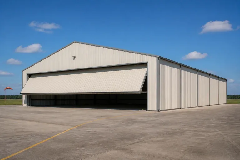 Farmstead airstrip hangarSited on the kind of large working parcel that dominates Washington's farm base (432-acre average per USDA's 2022 count), sharing access roads and utilities with existing agricultural buildings.Cascade-adjacent hangarSited near the Cascade Range's elevation change, where grading, tree clearing, and a longer sightline review shape the site plan before the hangar itself is designed.Columbia Basin airstrip hangarSited on the arid, flat interior lowland, where dust suppression on the strip and door-track sealing against blowing grit matter more than drainage.
Example Configuration — for planning purposes only.
Get Washington aircraft hangar quotes
Tell us your parcel's acreage, current use, and which side of the Cascades it's on. We route it with the Washington and hangar context already attached.
Specification
Door tracks, apron material, and access differ by side of the state
A hangar's biggest moving part is its door, and Washington's climate divide changes what that door and the apron in front of it have to tolerate day to day.
On a west-side parcel, sustained exposure to the moisture implied by Sea-Tac's 39.34-inch annual precipitation normal makes door-track drainage and corrosion-resistant hardware worth specifying up front rather than retrofitting after the first wet season. An apron that slopes cleanly away from the door threshold reduces standing water at the point where the door seal does the most work.
On an east-side Columbia Basin parcel, the same door hardware faces a different enemy: windblown dust and grit working into track hardware and hinge points. There, the practical response is more about seal quality and scheduled cleaning than drainage. Either way, the access road and turning radius for a tow vehicle or trailer is worth confirming against the parcel's actual grade, particularly on Cascade-adjacent ground where a level apron cannot always be assumed.
- West-side door hardware
- Prioritize corrosion resistance and apron drainage at the threshold.
- East-side door hardware
- Prioritize seal quality and a maintenance routine for dust and grit.
- Access grading
- Confirm turning radius and grade for tow vehicles before fixing the apron layout.
Preparation
Before you request a Washington hangar quote
These points shorten the path to a comparable quote for a rural, large-door structure.
- Describe the parcel's acreage and current useWorking farmland, bare rural acreage, and airpark lots each carry different site-prep starting points.
- State which side of the state your site is onApron drainage and sightline priorities differ enough to change the site plan.
- Check with your local building department and airport authorityAirspace, permit, and load questions are jurisdiction-specific; we do not state them here.
Questions
Washington aircraft hangar questions
Honest state-level answers, with jurisdiction-specific items routed appropriately.
Most often on larger rural parcels; the state's farm base averages 432 acres per operation per USDA's 2022 count, which is representative of the parcel scale where a private airstrip and hangar are practical, though any specific site depends on local zoning and airspace factors.
Permit requirements depend on your county or city jurisdiction, the structure's size, and airspace considerations near any airport or airstrip. Your local building department and relevant airport authority are the reliable sources for that answer.
West-side sites, represented by Sea-Tac's 39.34-inch annual precipitation normal, benefit from stronger apron drainage; Columbia Basin sites deal more with dust and sightline maintenance. We do not state a design wind or snow value here.
FEMA's National Risk Index publishes county- and tract-level hazard scores for all 39 Washington counties. Look up your specific county rather than relying on a statewide generalization, and confirm findings with a licensed engineer.
We do not publish state-level prices; costs depend on size, door type, and site work. Our cost pages cover what drives the number.
Sources for the Washington facts on this page
This page states no code requirement, wind speed, snow load, permit rule, price or supplier claim. The state-specific facts it does use are listed with their publisher below.
Washington had 32,076 farms in 2022, down from 35,793 farms in 2017.
USDA National Agricultural Statistics Service (NASS) · 2022 (with 2017 comparison) · Tier 1
https://www.nass.usda.gov/Publications/AgCensus/2022/Full_Report/Volume_1,_Chapter_1_State_Level/Washington/wav1.txtWashington had 13,855,414 acres of land in farms in 2022, an average farm size of 432 acres.
USDA NASS · 2022 · Tier 1
https://www.nass.usda.gov/Publications/AgCensus/2022/Full_Report/Volume_1,_Chapter_1_State_Level/Washington/wav1.txtSeattle-Tacoma International Airport's 1991-2020 annual climate normal precipitation is 39.34 inches with an annual normal snowfall of 6.3 inches.
NOAA National Centers for Environmental Information (NCEI) · 1991-2020 · Tier 1
https://www.ncei.noaa.gov/access/services/data/v1?dataset=normals-annualseasonal-1991-2020&dataTypes=ANN-PRCP-NORMAL,ANN-SNOW-NORMAL&stations=USW00024233&format=jsonThe Washington Geological Survey (part of the state Department of Natural Resources) names and maps distinct geologic/physiographic provinces across the state, including the Cascade Range and the Columbia Basin, the latter a wide, arid lowland occupying the entire southeastern portion of Washington.
Washington State Department of Natural Resources, Washington Geological Survey · Reference material, current · Tier 2
https://dnr.wa.gov/washington-geological-survey/explore-popular-geology/geologic-provinces-washington/columbia-basinFEMA's National Risk Index tool provides county- and tract-level composite and hazard-specific risk scores for all 39 of Washington's counties across 18 natural hazard types.
Federal Emergency Management Agency (FEMA) · Current NRI release · Tier 1
https://www.fema.gov/flood-maps/products-tools/national-risk-index