
Horse barn · VA
Horse Barns in Virginia
Virginia Energy, the state's geological survey, names five distinct physiographic provinces crossing the state: the Coastal Plain, Piedmont, Blue Ridge, Valley and Ridge, and Appalachian Plateau. A horse barn sited on flat Coastal Plain ground near the Chesapeake Bay is managing a drainage and manure-runoff problem that a barn sited on a folded Valley and Ridge hillside in the Shenandoah simply does not face in the same way, and this page treats that provincial split as the real starting point. Layered on top, USDA's National Agricultural Statistics Service counted 38,995 farms in Virginia in 2022, down from 43,225 in 2017, a decline worth naming honestly when sizing a barn to today's working-land reality rather than an older, larger farm base.
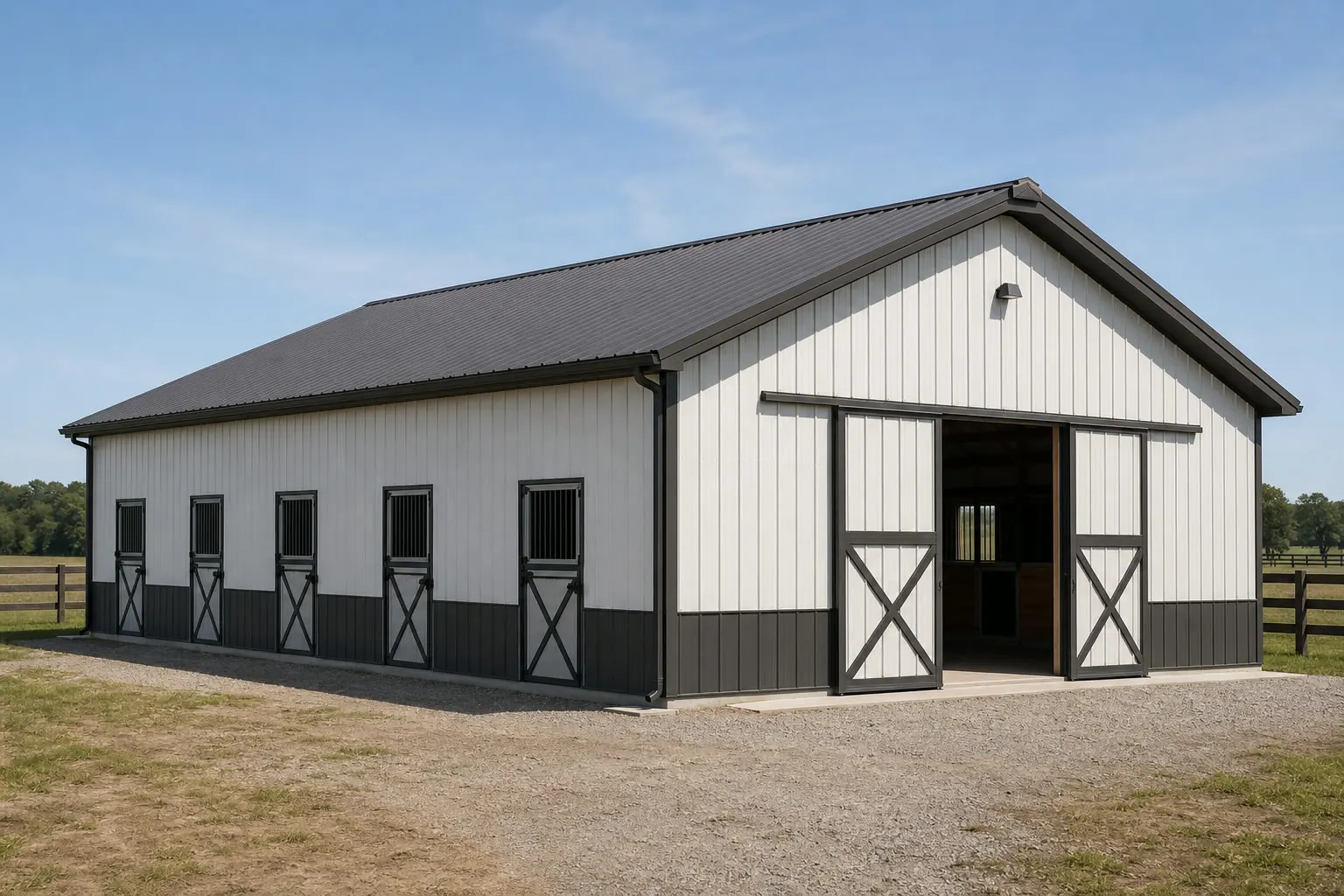
Five provinces, one real drainage question
A horse barn manages more site water than a garage or carport ever will: roof runoff, wash-bay water and manure runoff all have to go somewhere. Virginia's five named physiographic provinces mean that 'somewhere' is a genuinely different answer depending on where in the state the barn sits, and this page starts from that difference rather than a single statewide climate or terrain claim.
The intersection
How Virginia's five provinces change barn drainage and siting
Virginia Energy names five physiographic provinces, and each carries a different practical drainage and grading answer for a horse barn.
A barn sited on Virginia's Coastal Plain, along the Tidewater and Chesapeake Bay lowlands, is typically working with flat, slow-draining ground and a shallow water table. The priority there is raising the pad enough to keep the barn floor and manure storage area above standing water, and giving roof and wash-bay runoff a clear, planned route away from the building rather than letting it pool near paddocks.
Move into the Piedmont, the rolling belt through central Virginia including much of the horse country around Middleburg and Charlottesville, and the priority shifts toward grading. A barn sited on a Piedmont slope needs its pad and approach drive positioned so that heavy rain does not turn the drive into a wash channel or carry manure runoff downhill into a paddock or stream.
In the Blue Ridge and Valley and Ridge provinces, terrain becomes the dominant constraint. The Shenandoah Valley's folded ridges and valleys mean a site a few miles apart can carry very different slope and access conditions, and confirming which side of a ridge or which valley floor the parcel sits on is worth doing before a floor plan is finalized.
Far to the southwest, the Appalachian Plateau's steeper, more constrained terrain can limit not just grading but also access itself — the width and grade of the road to the site can determine what size trailer or delivery vehicle can realistically reach the build location.
None of this substitutes for a site visit or a conversation with your builder. Virginia Energy's and DCR's provincial descriptions tell you the broad category your land falls into; the specific grade, soil and drainage of your parcel still need direct confirmation before a barn is sited.
Quick reference
Virginia figures this page relies on
Every figure below carries a named publisher and period; nothing here is a design value or a requirement.
| Measure | Figure | Source |
|---|---|---|
| Physiographic provinces | Coastal Plain, Piedmont, Blue Ridge, Valley and Ridge, Appalachian Plateau | Virginia Energy |
| Farms (2022) | 38,995, down from 43,225 in 2017 | USDA NASS |
| Snowfall normal (Richmond Intl AP) | 8.8 in/yr, 1991-2020 normal | NOAA NCEI |
| Housing units authorized (2024) | 34,059 total, 22,796 single-family | U.S. Census Bureau |
| FEMA NRI hazard types tracked | 18, across all 133 counties and independent cities | FEMA |
Physiographic provinces
- Figure
- Coastal Plain, Piedmont, Blue Ridge, Valley and Ridge, Appalachian Plateau
- Source
- Virginia Energy
Farms (2022)
- Figure
- 38,995, down from 43,225 in 2017
- Source
- USDA NASS
Snowfall normal (Richmond Intl AP)
- Figure
- 8.8 in/yr, 1991-2020 normal
- Source
- NOAA NCEI
Housing units authorized (2024)
- Figure
- 34,059 total, 22,796 single-family
- Source
- U.S. Census Bureau
FEMA NRI hazard types tracked
- Figure
- 18, across all 133 counties and independent cities
- Source
- FEMA
Get Virginia horse barn quotes
Tell us your province of the state, how many stalls you need, and your rough footprint. We route it with the Virginia and horse barn context already attached.
Configuration
What a Virginia horse barn is usually asked to do
Province and a declining but still substantial farm base both shape the practical Virginia brief.
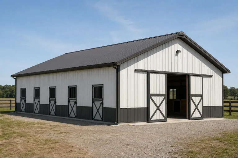 Coastal Plain stall barnPad raised above grade with roof and wash-water runoff routed away from a naturally flat, slow-draining site near tidal water.Piedmont hillside barnSited and oriented to control runoff on sloped horse-country ground around central Virginia, with the approach drive routed to avoid becoming a wash channel.Valley and mountain-province barnBuilt around access constraints in Shenandoah Valley or Blue Ridge terrain, sized to a smaller working parcel given the state's declining farm count.
Example Configuration — for planning purposes only.
Footprint
Sizes that fit a Virginia horse barn brief
These are the footprints that most often show up once province and a realistic Virginia parcel size are both accounted for, not a recommendation independent of your program.
30′ × 40′
1,200 sq ft
A compact starting point suited to a tighter Coastal Plain or Piedmont lot.
36′ × 48′
1,728 sq ft
Center-aisle room with a feed or tack area, without requiring open mountain-province acreage.
40′ × 60′
2,400 sq ft
Space for stalls plus a genuine equipment or hay bay for a larger working parcel.
Example Configuration — for planning purposes only.
Footprint-level layout and door detail live on the size pages; this page only explains why Virginia briefs tend to land in this range.
Preparation
Before you request a Virginia horse barn quote
Four steps that reflect Virginia's specific provincial structure rather than generic advice.
Step 1
Identify your physiographic province
Knowing whether your site sits on the Coastal Plain, the Piedmont, or in the Blue Ridge, Valley and Ridge, or Appalachian Plateau provinces changes the drainage and grading conversation before a floor plan is drawn.
Step 2
Check your locality's FEMA NRI hazard profile
All 133 of Virginia's counties and independent cities are scored individually across 18 hazard types; check yours rather than assuming a statewide condition.
Step 3
Plan manure and wash-water routing for your province
Flat Coastal Plain ground needs runoff routed away from a raised pad; sloped Piedmont or mountain-province ground needs grading that keeps runoff out of paddocks.
Step 4
Confirm access for mountain or plateau sites
Blue Ridge, Valley and Ridge, and Appalachian Plateau terrain can constrain what delivery or trailer access is realistic; confirm this with your builder before committing to a footprint.
Questions
Virginia horse barn questions
Answered honestly at the state level, with anything requiring local or regional judgment routed to the people who actually own that answer.
No. Virginia spans five physiographic provinces from a flat Coastal Plain to folded mountain terrain. The only snowfall figure we can cite comes from a Richmond International Airport station normal, treated here as a regional reference rather than a state average.
USDA NASS counted 38,995 farms in 2022, down from 43,225 in 2017, a real decline worth accounting for when sizing a barn to today's working-land reality.
It can, especially near the Chesapeake Bay or Atlantic coast. FEMA's National Risk Index tracks 18 hazard types across all 133 of Virginia's counties and independent cities, and exposure varies a great deal by locality, so check yours rather than assuming a statewide risk level.
There is no official typical size. Given Virginia's provincial variety and a declining average farm base, briefs commonly land between 30x40 and 40x60, but your program and specific parcel should set the number.
We do not publish state-level prices; a real number depends on your specification, site work, province-specific grading needs, and current material costs. Our cost pages explain what drives the number, and a quote covers your specific building.
Enforcement runs through local jurisdictions across Virginia's counties and independent cities. Confirm requirements with your local building department before finalizing a plan.
Sources for the Virginia facts on this page
This page states no code requirement, wind speed, snow load, permit rule, price or supplier claim. The state-specific facts it does use are listed with their publisher below.
Virginia Energy (the state geological survey) identifies five distinct physiographic provinces crossing the state: the Coastal Plain, Piedmont, Blue Ridge, Valley and Ridge, and Appalachian Plateau.
Virginia Energy (Virginia Department of Energy, Division of Geology and Mineral Resources) · Reference material, current · Tier 2
https://energy.virginia.gov/geology/FossilProvinces.shtmlThe Virginia Department of Conservation and Recreation publishes a statewide overview describing the physiography and vegetation differences across Virginia's Coastal Plain, Piedmont, Blue Ridge, Ridge and Valley, and Appalachian Plateau provinces.
Virginia Department of Conservation and Recreation (DCR), Division of Natural Heritage · Version 2.0, March 2021 · Tier 2
https://www.dcr.virginia.gov/natural-heritage/natural-communities/document/ncoverviewphys-veg.pdfVirginia had 38,995 farms in 2022, down from 43,225 farms in 2017.
USDA National Agricultural Statistics Service (NASS), Virginia Field Office · 2022 (with 2017 comparison) · Tier 2
https://articles.vafb.com/new-census-reveals-a-decrease-in-farms-and-farmland/Richmond, VA's 1991-2020 annual climate normal precipitation is 45.50 inches with an annual normal snowfall of 8.8 inches.
NOAA National Centers for Environmental Information (NCEI) · 1991-2020 · Tier 1
https://www.ncei.noaa.gov/access/services/data/v1?dataset=normals-annualseasonal-1991-2020&dataTypes=ANN-PRCP-NORMAL,ANN-SNOW-NORMAL&stations=USW00013740&format=jsonFEMA's National Risk Index tool provides county- and tract-level composite and hazard-specific risk scores for all 133 of Virginia's counties and independent cities across 18 natural hazard types.
Federal Emergency Management Agency (FEMA) · Current NRI release · Tier 1
https://www.fema.gov/flood-maps/products-tools/national-risk-index