
Horse barn · OK
Horse Barns in Oklahoma
An Oklahoma horse barn is planned against two very different landscapes depending on where the parcel sits. West of the state's transition belt, USGS classifies the land as Great Plains province — open, wind-exposed ground where a barn's orientation is a wind-management decision. East toward the Ouachita Mountains and Ozark Plateau, terrain and tree cover change that calculation entirely, trading wind exposure for slope and drainage problems. With 32.9 million acres in farms statewide, most horse-keeping operations are working land first, and the barn has to fit that land's actual terrain rather than a single generic layout.
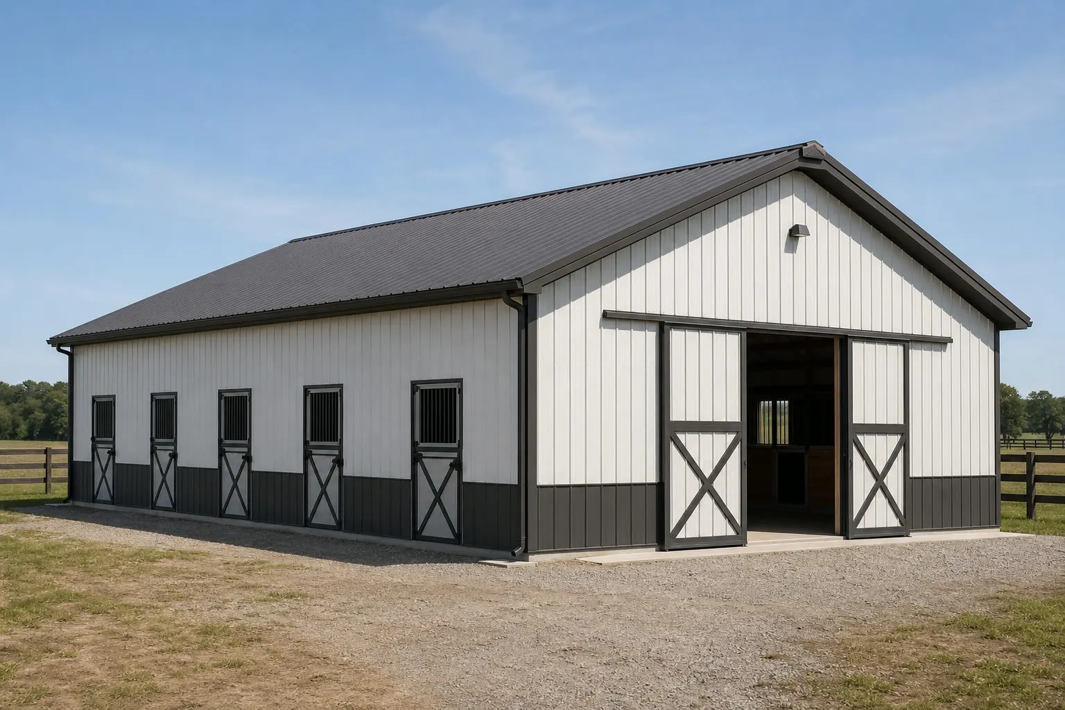
Site Logic
Why the Same Barn Doesn't Fit Both Halves of Oklahoma
USGS physiographic mapping draws a line through Oklahoma between the Great Plains province to the west and terrain transitioning toward the Central Lowland and Ozark/Ouachita uplands to the east, and that line changes what a horse barn needs to do.
On the open plains, wind is the dominant design factor. NOAA's narrative climate description of Oklahoma places the state firmly in the southern Great Plains, and that open exposure means a horse barn oriented with a fully open south wall for summer airflow can just as easily catch a hard north wind in winter with nothing to break it. Plains-sited barns generally do better with ridge vents, cupolas, and offset window openings that let air move without turning the whole structure into a wind funnel.
East toward the Ouachita Mountains and the Ozark Plateau, the problem inverts. The Oklahoma Geological Survey describes this terrain as shaped by resistant, folded and faulted rock forming mountains up to roughly 2,000 feet above their base. Level building pads are scarcer here, and a horse barn site plan has to account for grading, drainage off adjacent slopes, and access roads that may need more engineering than a flat plains site ever would.
Neither approach is more correct for 'Oklahoma' as a whole — the state doesn't have one terrain, and a barn plan drafted for one half applied to the other will either fight the wind or fight the slope.
Regional Context
Terrain Zones and What They Mean for a Barn Site
Geological and physiographic descriptions of Oklahoma point to distinct siting conditions for equine facilities.
Western & Central Great Plains
Open terrain per USGS Bulletin 730-D classification. Favor windbreak placement — tree lines, existing structures, or engineered barriers — upwind of the barn's ventilation openings rather than fully open walls.
Arkansas River Valley
Named specifically in NOAA's narrative description of Oklahoma's topography. A transitional corridor where site conditions should be assessed individually rather than assumed from either the plains or the uplands.
Ouachita Mountains (Southeast)
Folded, faulted rock terrain reaching roughly 2,000 feet above their base per the Oklahoma Geological Survey. Expect more grading and drainage engineering for a level barn pad and paddock access.
Ozark Plateau (Northeast)
Marks the state's extreme northeast corner per the Oklahoma Climatological Survey. Similar upland siting constraints to the Ouachita zone; check for adequate paddock drainage before committing to a pad location.
Before You Build
Oklahoma-Specific Siting Questions
Answer these against your own parcel before finalizing a stall-barn layout.
- Is the parcel in open plains terrain or folded upland terrain?This determines whether wind exposure or slope/drainage is the dominant siting risk.
- Does the site need graded fill for a level barn pad?More likely near the Ouachita Mountains or Ozark Plateau than on open plains ground.
- Where does surface water move across the pasture after rain?A single statewide precipitation figure was not confirmed; check local NWS station data such as NWS Tulsa's published climatology for your area.
- Has the local building department confirmed permit requirements for an equine structure on this parcel?The OUBCC oversees code adoption rules, but application to a specific structure is a local-jurisdiction question.
- Does the barn's footprint fit the operation's pasture rotation plan?Relevant on Oklahoma's average 467-acre farm holdings, where the barn is one piece of a working land layout.
Plan Your Oklahoma Horse Barn
Get siting and layout guidance suited to your part of Oklahoma, from open plains wind exposure to upland terrain constraints.
Design Logic
Ventilation Approach by Terrain
The right ventilation strategy depends on whether your site fights wind or fights airflow starvation.
| Site condition | Risk | Design response |
|---|---|---|
| Open plains, minimal windbreak | Wind-driven rain and cold through open stall fronts | Use ridge vents, cupolas, and offset openings rather than a fully open wall facing prevailing wind. |
| Upland terrain near tree cover | Poor airflow and humidity buildup | Prioritize a higher ridge vent and clear a wider opening on the sheltered side to compensate for reduced wind. |
| Arkansas River Valley / transition ground | Mixed or uncertain exposure | Assess the specific parcel's exposure across a season before fixing stall-front orientation. |
Open plains, minimal windbreak
- Risk
- Wind-driven rain and cold through open stall fronts
- Design response
- Use ridge vents, cupolas, and offset openings rather than a fully open wall facing prevailing wind.
Upland terrain near tree cover
- Risk
- Poor airflow and humidity buildup
- Design response
- Prioritize a higher ridge vent and clear a wider opening on the sheltered side to compensate for reduced wind.
Arkansas River Valley / transition ground
- Risk
- Mixed or uncertain exposure
- Design response
- Assess the specific parcel's exposure across a season before fixing stall-front orientation.
Configurations
How Oklahoma Operations Configure Horse Barns
Layout choice follows the operation's scale and its land's terrain, not a single template.
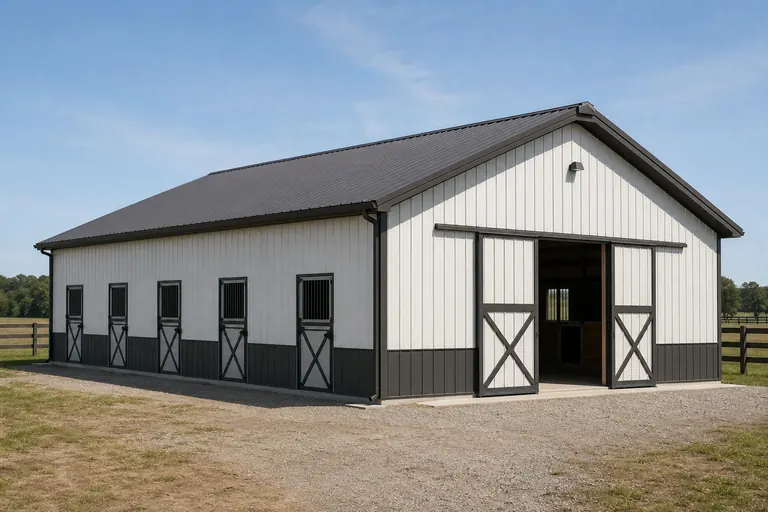 Working ranch stall barnA center-aisle layout sized for a handful of stalls, tack, and feed storage, sited to fit a working pasture rotation on larger acreage.
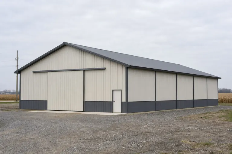 Small-acreage hobby barnA compact 2-4 stall shed-row layout suited to smaller parcels where terrain constraints limit footprint.
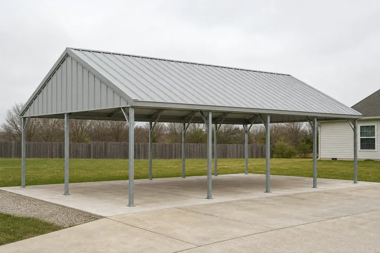 Open run-in shelterAn open-sided structure placed in pasture for shade and wind break, common on both plains and upland grazing land.
Example Configuration — for planning purposes only.
Scale
Footprint Choices for Oklahoma Horse Barns
These are common starting footprints; the right size depends on your own stall count and site constraints.
30′ × 40′
1,200 sq ft
A compact stall barn suited to smaller acreage or upland sites with limited level pad area.
36′ × 48′
1,728 sq ft
A center-aisle layout with room for a handful of stalls plus tack and feed storage.
40′ × 60′
2,400 sq ft
A larger working barn suited to plains sites with fewer pad-grading constraints.
Example Configuration — for planning purposes only.
Confirm setback, drainage, and permit requirements with your local building department before finalizing a footprint.
Questions
Oklahoma Horse Barn Questions
Common questions from Oklahoma landowners planning an equine facility.
The Oklahoma Uniform Building Code Commission oversees code adoption rules for local jurisdictions, but whether a specific agricultural or equine structure needs a permit on your parcel is determined locally. Confirm with your county or municipal building department.
No. On open Great Plains terrain, fully open stall fronts can catch damaging wind; shielded openings with ridge vents work better. In upland terrain near the Ouachita Mountains or Ozark Plateau, tree cover already blocks wind, so the priority shifts to ensuring enough airflow through the barn.
Terrain near the Ouachita Mountains and Ozark Plateau is described by the Oklahoma Geological Survey as folded and faulted rock forming elevated ground, which generally requires more grading work for a level pad than open plains sites.
USDA NASS reported an average Oklahoma farm size of 467 acres in 2022 across 32,897,563 acres in farms statewide, though individual equine operations vary widely from this average.
A single confirmed statewide precipitation normal was not available in this review. NWS Tulsa maintains published station-level rainfall and snowfall climatology; check the NWS office covering your specific area instead of relying on a statewide figure.
Sources for the Oklahoma facts on this page
This page states no code requirement, wind speed, snow load, permit rule, price or supplier claim. The state-specific facts it does use are listed with their publisher below.
USGS historical survey work (Fenneman, USGS Bulletin 730-D) classifies western Oklahoma within the Great Plains physiographic province, part of the larger interior plains distinguished from the Central Lowland province to the east.
U.S. Geological Survey (USGS Bulletin 730-D, Nevin M. Fenneman) · Originally published 1923; USGS reference · Tier 1
https://pubs.usgs.gov/bul/0730d/report.pdfNOAA NCEI publishes a narrative 'Climate of Oklahoma' noting the state's southern Great Plains location and topographic features including the Ouachita Mountains, the Arkansas River Valley, and the Ozark Plateau in the northeast.
NOAA National Centers for Environmental Information (NCEI) · Historical narrative (NCEI climate normals series) · Tier 1
https://www.ncei.noaa.gov/data/climate-normals-deprecated/access/clim60/states/Clim_OK_01.pdfOklahoma had 32,897,563 acres of land in farms in 2022, an average farm size of 467 acres.
USDA NASS · 2022 · Tier 1
https://www.nass.usda.gov/Publications/AgCensus/2022/Full_Report/Volume_1,_Chapter_1_State_Level/Oklahoma/st40_1_001_001.pdfOklahoma had 32,897,563 acres of land in farms in 2022, an average farm size of 467 acres.
USDA NASS · 2022 · Tier 1
https://www.nass.usda.gov/Publications/AgCensus/2022/Full_Report/Volume_1,_Chapter_1_State_Level/Oklahoma/st40_1_001_001.pdfThe Oklahoma Uniform Building Code Commission (OUBCC) is the state body established by the Oklahoma Uniform Building Code Commission Act (59 O.S. §§ 1000.20-1000.30) that governs code matters and issues rules addressing code adoption by local jurisdictions and other political subdivisions.
State of Oklahoma (oklahoma.gov/oubcc) · Current statute/administrative rules · Tier 2
https://oklahoma.gov/oubcc/faqs.htmlNWS Tulsa maintains published monthly/yearly rainfall and snowfall climatology pages for the Tulsa station.
National Weather Service (NOAA), Tulsa OK office · Ongoing NWS climatology records · Tier 1
https://www.weather.gov/tsa/climo_tulyearrain