
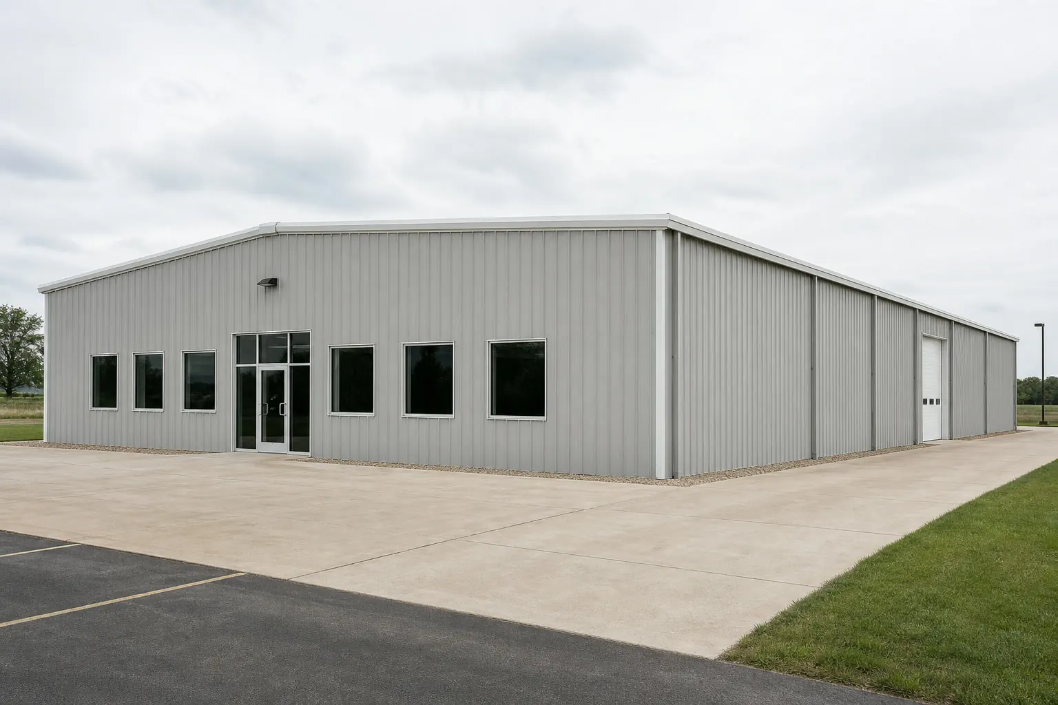
Commercial building · CT
Commercial Steel Buildings in Connecticut
In Connecticut the hard part of a commercial steel building is rarely the steel. The state covers 4,842.4 square miles of land — the third-smallest area in the country — so usable commercial sites are constrained, often previously developed, and closely surrounded by other uses. Approval is municipal, which means the schedule belongs to a town rather than to a state agency. And the building itself has to work in a climate whose benchmark station records around 43 inches of annual precipitation, in counties where FEMA's National Risk Index scores winter weather alongside coastal flooding and hurricane. This page addresses those Connecticut-specific realities and routes code, cost and configuration questions to the pages and authorities that own them.
The Site Decides the Building
Connecticut commercial buyers rarely have the luxury of a flat, empty, rectangular parcel. In a state with 4,842.4 square miles of land area, available commercial ground is typically an infill site with an odd shape, an existing slab or foundation, a shared access drive, and neighbours whose operations and sightlines matter to the town. The consequence is that the building's footprint, orientation, dock location and truck circulation are effectively determined before the steel is specified. Teams that survey and test-fit the site first — including the turning circles of the largest vehicle that must use it — save months against teams that pick a building size and then try to make the site accept it.
Schedule
Approval Is the Critical Path
In Connecticut the municipal review sequence usually sets the project schedule, so it should be mapped before design is finalised.
Connecticut administers land use locally. That means the commercial approval sequence is a town sequence: pre-application discussion, site plan review, potentially a wetlands or inland watercourses referral, and then building permit. Each town runs its own calendar of commission meetings, and missing a submission deadline can cost a month even when nothing is contested. Nothing about the steel supply chain compresses that; only early, well-prepared engagement does.
Two habits reduce risk here. First, hold a pre-application conversation with the town's land use staff before drawings are finalised, and take the site constraints with you rather than a finished design — officials will usually flag the issues that matter to their commission. Second, identify early whether any part of the site triggers wetlands jurisdiction, because that referral runs on its own timeline and is a frequent source of surprise delay on constrained Connecticut sites.
Because the state's construction pipeline is modest — 6,272 housing units authorised in 2023 — the local trade base is correspondingly limited. Erection crews, site contractors and electrical subs book out, and a slipped approval can push a project into a season where the work is harder and the crews are already committed. The schedule risk compounds; treating approval as an administrative afterthought is the expensive assumption.
Site Brief
What to Resolve Before Specifying Steel
These six items are where Connecticut commercial projects most often lose time or money.
- Test-fit the site with real vehicle movementsOn a constrained infill parcel the turning circle of the largest delivery vehicle frequently determines the building footprint and the door locations.
- Establish the stormwater story earlyA large new roof and yard on a small Connecticut site concentrates runoff in a state with roughly 43 inches of annual precipitation at its benchmark station. Where that water goes will be asked, so answer it first.
- Check for wetlands or watercourse jurisdictionConnecticut towns have wetlands commissions with independent authority and their own meeting calendars. Discovering this late is the classic schedule failure.
- Get design loads from the professional of recordSnow load, wind speed and the applicable code edition come from your design professional and the local building department. NOAA publishes Connecticut climate normals station by station, so the site's own values matter.
- Survey what is already undergroundReused commercial sites carry old foundations, utilities and sometimes environmental conditions. These shape foundation cost far more than the frame does.
- Book trades against a realistic approval dateWith a modest statewide construction pipeline, crew availability is genuinely constrained; sequence bookings against the approval calendar rather than the ideal one.
Get commercial quotes for your Connecticut site
Give suppliers your parcel constraints, your required clear span and the vehicle movements the site must support. Those three inputs make Connecticut commercial quotes comparable.
Footprints
Common Connecticut Commercial Footprints
Constrained sites push Connecticut projects toward efficient rectangles with clear spans rather than sprawling plans.
40′ × 60′
2,400 sq ft
Small service, trade or contractor premises — the size most infill Connecticut parcels absorb comfortably with yard and parking.
60′ × 100′
6,000 sq ft
Light industrial or distribution use where the site can support truck circulation as well as the footprint.
80′ × 120′
9,600 sq ft
Larger clear-span requirement, viable only where the parcel and municipal review support the additional coverage and traffic.
Example Configuration — for planning purposes only.
Coverage, parking and circulation requirements are municipal; confirm them before fixing a footprint.
Site Context
Three Commercial Settings in Connecticut
Where the site sits changes both the hazard profile and the approval conversation.
Shoreline and coastal corridor
Coastal flooding and hurricane are explicitly among the hazards FEMA scores for Connecticut counties, and shoreline commercial sites can carry additional flood-related requirements. Uplift resistance, cladding, fastener specification and finished floor level all deserve early attention here.
Central corridor and Hartford area
The state's benchmark climate station sits in this area, recording around 43 inches of annual precipitation. Commercial sites here are typically previously developed, so underground conditions and stormwater management dominate the pre-construction budget.
Eastern and northwestern towns
More rural, with smaller land use staffs and less frequent commission meetings, which makes the approval calendar even more consequential. Snow loading is also more severe away from the shoreline, and NOAA's station-level normals exist because those differences are real.
Evidence Position
Sourced Facts and Deliberate Silences
Every Connecticut figure above is federal; every regulatory number is left to your town and design professional.
Sourced: the Census land-area measurement of 4,842.4 square miles, Census authorisation of 6,272 housing units in 2023, NOAA NCEI 1991-2020 normals for the Hartford Brainard Field station and for individual Connecticut stations, and FEMA's National Risk Index as the federal county-level hazard tool for the state.
Withheld: adopted code editions, occupancy classifications, design snow and wind values, permit fees, review timelines and prices. A commercial project is exactly the context where an invented regulatory figure causes real damage, so this page states the shape of the problem and names the authority that answers it.
Questions
Connecticut Commercial Building Questions
The Connecticut answers a general commercial steel building page cannot give.
Municipal review. Land use is administered town by town here, and site plan review plus any wetlands referral runs on commission calendars. Early pre-application engagement is the single most effective schedule control.
The state has 4,842.4 square miles of land area, the third smallest in the country, so most available commercial ground is infill: irregular, previously developed and closely surrounded by other uses.
Your design professional and the local building department determine them, and we do not publish values. NOAA publishes Connecticut climate normals station by station, which is a reminder that shoreline and inland sites differ materially.
On small sites, frequently yes. Adding a large roof and paved yard in a state with roughly 43 inches of annual precipitation at its benchmark station concentrates runoff, and the required management area competes directly with parking and circulation.
Yes in exposure and often in requirements. Coastal flooding and hurricane are among the hazards FEMA scores for Connecticut counties, which can affect finished floor level, uplift design and cladding specification.
Pricing sits with the cost silo. The Connecticut-variable drivers are site preparation on a reused parcel, stormwater infrastructure, foundation conditions and the approval timeline's effect on scheduling.
Sources for the Connecticut facts on this page
This page states no code requirement, wind speed, snow load, permit rule, price or supplier claim. The state-specific facts it does use are listed with their publisher below.
Connecticut's total land area was measured at 4,842.4 square miles as of the 2010 Census, the third-smallest of any US state.
U.S. Census Bureau · 2010 Census · Tier 1
https://www.census.gov/geographies/reference-files/2010/geo/state-local-geo-guides-2010/connecticut.htmlConnecticut had 6,272 total housing units authorized by building permits in 2023, up 5.8% from 5,926 in 2022.
U.S. Census Bureau · 2023 (annual) · Tier 1
https://www.census.gov/construction/bps/pdf/2023annualhighlights.pdfNOAA NCEI-sourced 1991-2020 normals for the Hartford Brainard Field station show about 43 inches of average annual precipitation.
NOAA National Centers for Environmental Information (NCEI) station normals, via GeoStat.org compilation · 1991-2020 · Tier 2
https://www.geostat.org/data/hartford-ct/climateFEMA's National Risk Index is an interactive county/tract-level tool covering 18 natural hazards, including winter weather, coastal flooding, and hurricane, that can be queried for Connecticut's counties.
Federal Emergency Management Agency (FEMA) · Current NRI release · Tier 1
https://www.fema.gov/flood-maps/products-tools/national-risk-indexNOAA NCEI publishes 1991-2020 monthly climate normals (temperature, precipitation, snowfall, degree days) for individual Connecticut stations such as Bakersville, CT.
NOAA National Centers for Environmental Information (NCEI) · 1991-2020 · Tier 1
https://www.ncei.noaa.gov/access/services/data/v1?dataTypes=MLY-TMAX-NORMAL%2CMLY-TMIN-NORMAL%2CMLY-TAVG-NORMAL%2CMLY-PRCP-NORMAL%2CMLY-SNOW-NORMAL&dataset=normals-monthly-1991-2020&format=pdf&stations=USC00060227