
Aircraft hangar · OR
Aircraft Hangars in Oregon
An Oregon hangar buyer is really answering two different questions depending on which side of the Cascade Range the strip sits on. NOAA's Climate of Oregon narrative describes the mountains as the dividing line between a wet, mild west and a drier, more variable east, and that split changes the roof, drainage, and door-sealing conversation for a hangar more than any single Oregon-wide weather figure could. On top of that climate divide, Oregon's DOGAMI maintains its own statewide landslide database, separate from FEMA's county-level hazard reports, giving a hangar buyer on sloped or rural ground a second, state-specific layer worth checking before a pad is poured.
Climate Geography
A Mountain Range That Splits the Hangar Brief in Two
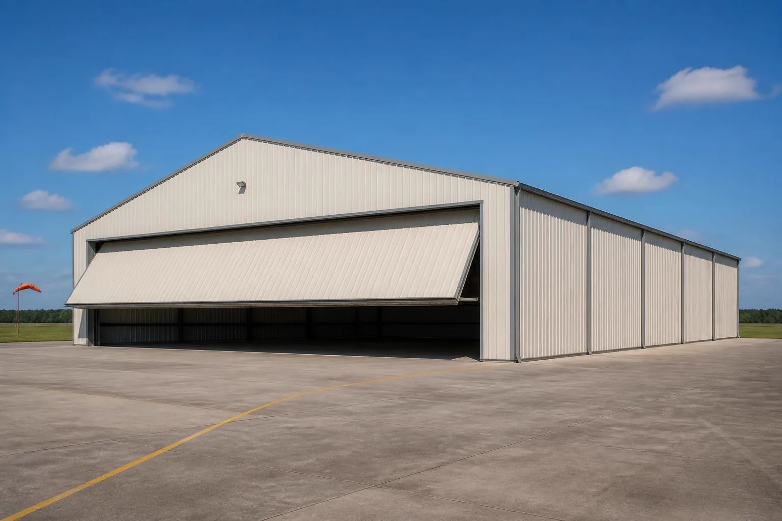
The Cascade Range is the defining line for how a hangar should be built depending on where in Oregon the strip sits.
NOAA NCEI's Climate of Oregon narrative names the Pacific Ocean and the Cascade Range as the two dominant influences on the state's weather, with the mountains dividing a wet, mild western Oregon from a drier eastern Oregon. For a hangar owner, that divide is not academic: a strip in the Willamette Valley faces more frequent rain and a marine-moderated temperature range, while a strip east of the Cascades sees drier air and wider daily and seasonal temperature swings.
The National Weather Service's Portland-area normals show monthly high temperatures ranging from about 47.5°F in January to roughly 82.3°F in August, based on the 1991-2020 period at Portland International Airport. That's a genuinely moderate range by national standards, but it describes the western valley corridor specifically. A hangar buyer siting a strip east of the Cascades — where continental climate patterns take over — should pull the closest station's own normals before finalizing door sealing, insulation, or ventilation specs rather than assuming Portland's numbers apply.
Water-year precipitation tells a similar story: NWS Portland's 1991-2020 normal of 36.91 inches applies to that specific western corridor. A hangar roof and gutter system sized for a wet Willamette Valley site would be significantly oversized — or a dry eastern Oregon site's drainage plan significantly undersized — if the wrong regional figure gets used as the design assumption.
Geologic Hazard
DOGAMI's Landslide and Seismic Soil Data — A Second Hazard Layer
Oregon maintains its own state-specific geologic hazard datasets that a hangar buyer on rural or sloped ground should check alongside FEMA's county reports.
The Oregon Department of Geology and Mineral Industries (DOGAMI) maintains the Statewide Landslide Information Database (SLIDO), a mapping resource covering landslide susceptibility across the state. Many private airstrips sit on rural acreage that hasn't been graded flat by a municipal project, so a hangar sited on or near a slope should have that specific parcel checked against SLIDO before a foundation and runway grading plan is finalized.
For four specific counties — Clackamas, Columbia, Multnomah, and Washington — DOGAMI has gone a step further and published coseismic landslide susceptibility, liquefaction susceptibility, and soil amplification class maps, developed for use with FEMA's HAZUS loss-estimation methodology. A hangar buyer in one of these four counties has access to unusually detailed soil-hazard information; buyers elsewhere in Oregon should ask DOGAMI directly what mapping, if any, exists for their specific county.
- Check SLIDO First on Sloped Ground
- Oregon's statewide landslide database is a state-specific resource worth checking before FEMA's county report.
- Ask About Seismic Soil Maps in Four Counties
- Clackamas, Columbia, Multnomah, and Washington counties have detailed DOGAMI soil-amplification mapping available.
- Pull FEMA's County NRI Report Too
- FEMA's National Risk Index scores 18 hazard types by county; use it alongside DOGAMI data, not instead of it.
Site Selection
Where in Oregon You Build Changes the Hangar Brief
Oregon's Cascade-driven climate split and farm-scale land base each carry a different siting story for a private hangar.
Willamette Valley and Western Oregon
Wetter, milder conditions per NOAA's Climate of Oregon narrative; expect a heavier rain-drainage design and check DOGAMI's county-specific seismic soil mapping if the site falls in Clackamas, Columbia, Multnomah, or Washington county.
Oregon Coast
Coastal exposure sits outside both the Portland and eastern-Oregon reference climates; confirm wind and moisture design values with the nearest coastal weather station rather than a valley or high-desert figure.
Eastern Oregon (High Desert Plateau)
Drier, more temperature-variable conditions per NOAA's statewide narrative; with farms averaging 430 acres statewide, this region often has the open acreage suited to a private grass or gravel strip.
Plan Your Oregon Hangar
Tell us which side of the Cascades your strip sits on, and we'll route the right climate and hazard questions with your Oregon context attached.
Application
Hangar Configurations for Oregon Aviation
Configurations suited to Oregon's Cascade-divided climate and mix of valley, coastal, and high-desert flying.
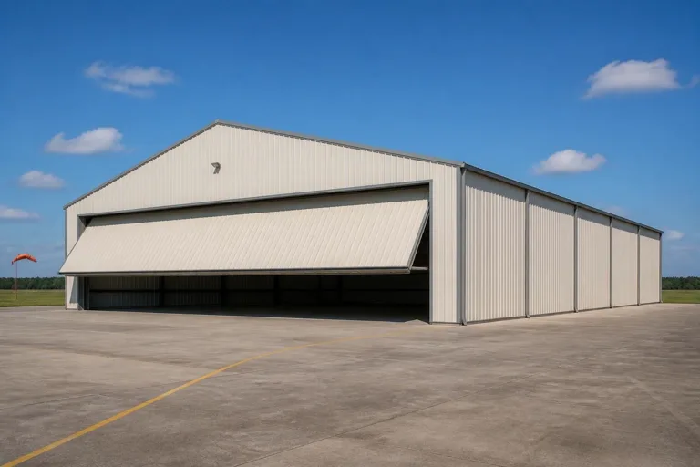 Valley Private HangarSited on Willamette Valley farmland or exurban acreage, built to a wetter rain-drainage standard with a poured concrete pad.High-Desert Strip HangarBuilt for eastern Oregon's drier, more temperature-variable conditions, where a larger average farm size supports a private strip.Coastal or Sloped-Site HangarSited where DOGAMI's SLIDO landslide mapping should be checked before grading, given Oregon's varied coastal and hillside terrain.
Example Configuration — for planning purposes only.
Scale
Footprints for Oregon Aviation
A starting range that reflects recreational and working aircraft use on Oregon strips.
40′ × 40′
1,600 sq ft
A compact hangar for a single light aircraft on a rural strip.
50′ × 50′
2,500 sq ft
Room for one aircraft plus a small workshop or tool storage.
60′ × 100′
6,000 sq ft
A larger hangar for twin-engine aircraft or multiple light planes, sized for door-clearance needs.
Example Configuration — for planning purposes only.
Ensure your door opening clears your aircraft's wingspan by at least 5-10 feet; confirm foundation and drainage specifics with a local contractor familiar with your specific side of the Cascade divide.
Questions
Oregon Aircraft Hangar Questions
Honest answers, with technical and regulatory questions routed to the authority that owns them.
Yes. NOAA's Climate of Oregon narrative describes the Cascades as dividing a wetter, milder west from a drier, more variable east. Confirm design values with the weather station nearest your actual strip, not a statewide average.
Many Oregon landowners have the acreage for it — the state's farms averaged 430 acres in 2022 — but private airstrip rules fall under FAA and local jurisdiction. Confirm requirements with the FAA and your county before committing to a site.
Check FEMA's National Risk Index for your county (18 hazard types), and separately check DOGAMI's Statewide Landslide Information Database (SLIDO), especially on sloped or rural ground.
Yes. DOGAMI has published coseismic landslide, liquefaction, and soil amplification mapping specifically for Clackamas, Columbia, Multnomah, and Washington counties. Buyers elsewhere should ask DOGAMI what data, if any, covers their county.
No. Portland's 1991-2020 normals (about 47.5°F to 82.3°F monthly highs, 36.91 inches of water-year precipitation) reflect the western valley corridor. Eastern Oregon and coastal sites see different patterns; confirm locally with your engineer.
There's no official typical size, but a 40x40 to 60x100 range covers most single- and twin-engine private hangars on Oregon strips. Confirm your door opening against your aircraft's wingspan before finalizing.
Sources for the Oregon facts on this page
This page states no code requirement, wind speed, snow load, permit rule, price or supplier claim. The state-specific facts it does use are listed with their publisher below.
NOAA NCEI publishes a narrative 'Climate of Oregon' noting the Pacific Ocean's dominant influence on the state's mild, varied climate and the Cascade Range's role in dividing wet western Oregon from drier eastern Oregon.
NOAA National Centers for Environmental Information (NCEI) · Historical narrative (NCEI climate normals series) · Tier 1
https://www.ncei.noaa.gov/data/climate-normals-deprecated/access/clim60/states/Clim_OR_01.pdfPortland International Airport's 1991-2020 normal annual maximum temperature averages range from 47.5°F in January to a peak around 82.3°F in August, based on NWS Portland's published daily normals.
National Weather Service (NOAA), Portland OR office · 1991-2020 normals; 1940-2022 extremes · Tier 1
https://www.weather.gov/media/pqr/climate/ClimateBookPortland/pg145.pdfOregon had 15,295,779 acres of land in farms in 2022, an average farm size of 430 acres.
USDA NASS · 2022 · Tier 1
https://www.nass.usda.gov/Publications/AgCensus/2022/Online_Resources/County_Profiles/Oregon/cp99041.pdfThe Oregon Department of Geology and Mineral Industries (DOGAMI) maintains the Statewide Landslide Information Database for Oregon (SLIDO), a state geologic-hazard mapping resource covering landslide susceptibility statewide.
Oregon Department of Geology and Mineral Industries (DOGAMI) · SLIDO-4.5 released April 12, 2024 · Tier 2
https://www.oregon.gov/dogami/slido/Pages/data.aspxDOGAMI has published coseismic landslide susceptibility, liquefaction susceptibility, and soil amplification class maps for Oregon's Clackamas, Columbia, Multnomah, and Washington counties, for use in FEMA's HAZUS loss-estimation methodology.
Oregon Department of Geology and Mineral Industries (DOGAMI) · 2019 · Tier 2
https://pubs.oregon.gov/dogami/ofr/O-19-09/O-19-09_report.pdfFEMA's National Risk Index is the authoritative source for county- and state-level natural hazard exposure ratings across 18 hazard types, viewable via FEMA's own interactive report tool.
Federal Emergency Management Agency (FEMA) · Current NRI release · Tier 1
https://www.fema.gov/flood-maps/products-tools/national-risk-index