
Agricultural building · KS
Agricultural Buildings in Kansas
Planning an agricultural building in Kansas means designing for a scale that few other states match. With a farm base that averages 804 acres—the largest in the central plains—and over 44.7 million acres in production, these structures are the operational heart of 55,734 farms. Across the state's 81,758.7 square miles, the honest challenge is one of environmental transition. From the rocky, unplowed native prairie of the Flint Hills to the semi-arid expanses of the west, a Kansas ag building must be tuned to its specific soil and climate. This guide addresses the intersection of High Plains scale and the practical realities of building in the Sunflower State.
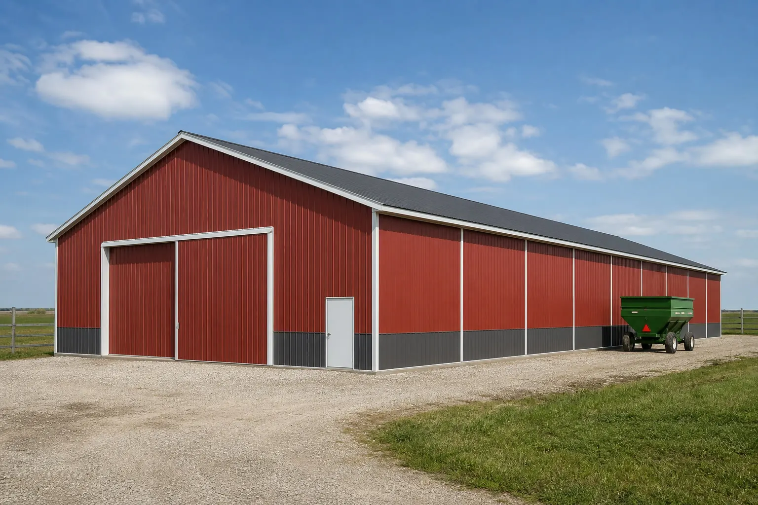
Market Perspective
A Broad Term for a Specific Reality
We are open about the fact that few people search for 'agricultural building' as a specific phrase, but in Kansas, it is the only term that encompasses the scale of a 44.7-million-acre operation.
Search volume for this term is low, but the utility is unmatched. In a state like Kansas, a building isn't just a shed; it's a critical component of a 804-acre average farm. Whether you are housing a fleet of combines or managing a cattle operation in the Flint Hills, the requirements are industrial. This page exists because a buyer looking for an 'ag building' in Kansas needs to understand that they aren't just buying steel; they are buying a structure that must interface with a humid-to-semi-arid transition and some of the most challenging rocky soils in the central plains.
We focus here on the 'big picture' planning: how to site a building on a 800+ acre tract where the nearest windbreak might be two miles away, and how to choose a foundation that won't require blowing a hole in Permian limestone bedrock. This is the honest story of Kansas agriculture, told through the lens of the structures that make it possible.
Regional Planning
Rock, Silt, and Wind
Kansas's 81,758.7 square miles are divided by a geological wall that dictates how you build.
The Kansas Geological Survey identifies the Flint Hills as a unique north-south band of unplowed tallgrass prairie. The soil here is thin and rocky, formed from Permian limestones that were historically too hard to plow. If you are building an agricultural structure in this region, your foundation costs will be driven by the rock. Traditional digging is often impossible, making slab-on-grade or specialized anchoring a necessity. This region is primarily used for grazing, so the buildings here are often open-front shelters or distributed cattle sheds. Because that grazing land is rarely broken up by row-crop infrastructure, an ag building sited there tends to serve a single herd operation rather than the equipment-and-commodity mix common further west, which simplifies the door and bay layout even as it complicates the foundation.
To the west, the landscape opens into the High Plains. The soil is deeper and easier to work, but the environment is more extreme. According to NOAA NCEI, this is a semi-arid zone where heat and wind are the primary enemies. Here, ag buildings are primarily about equipment protection and grain storage. The vastness of the 804-acre average farm means your building is fully exposed to the severe winds identified by FEMA. Aerodynamic design and robust anchoring are the qualitative keys to longevity in the west. Irrigation infrastructure adds a further wrinkle in the west that the Flint Hills rarely presents: a building sited inside or too near a center-pivot's corner arm becomes a daily obstacle rather than a convenience, so the pivot layout deserves a look before the building pad is staked, not after the pivot is already circling.
- Flint Hills Foundation
- Plan for Permian limestone; avoid deep post-holes if possible to save on rock-drilling costs.
- High Plains Exposure
- Use existing site features to block wind and prioritize UV-resistant finishes for semi-arid heat.
- Scale Sizing
- On 800+ acres, size for future equipment growth; a 40-foot span is often the bare minimum.
Infrastructure
Kansas Ag Building Use Cases
Structures tailored for the Sunflower State's agricultural base.
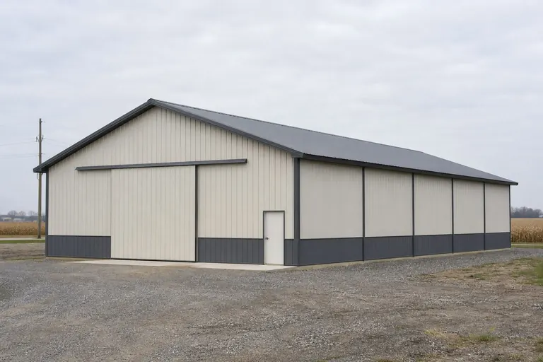 Machinery StorageLarge clear-span buildings with 60'+ widths to house modern High Plains implements.Commodity SupportBuildings designed to house seed, fertilizer, and support equipment near grain bin sites.
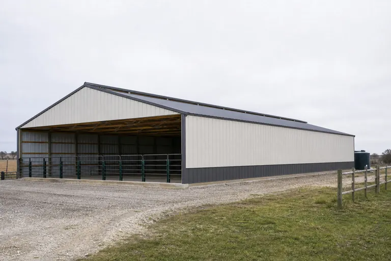 Grazing SheltersDistributed run-in barns for cattle operations in the unplowed Flint Hills.
Example Configuration — for planning purposes only.
Build for the Kansas Scale
Ready to invest in infrastructure for your 800-acre operation? Get a quote for a Kansas-tuned agricultural building today.
Scale
Kansas-Scale Footprints
Reflecting the 804-acre average farm size, where utility requires volume.
40′ × 80′
3,200 sq ft
A standard equipment storage shed for a medium Kansas operation.
60′ × 100′
6,000 sq ft
Common for centralized shops on 800-acre tracts.
80′ × 150′
12,000 sq ft
Industrial-scale ag building for large-fleet machinery storage.
Example Configuration — for planning purposes only.
Footprints this large require professional engineering to account for Kansas wind loads; consult a local expert.
Preparation
Before you commit to a Kansas ag building
Four scale-specific questions worth answering before you fix a footprint on an 800-acre operation.
- Confirm your equipment's full turning envelopeMeasure the widest header, sprayer boom, or grain cart you own fully extended, not folded for transport, before setting bay width and door clearance.
- Order a soil boring if you are anywhere near the Flint Hills corridorA single test hole can confirm whether you are dealing with deep workable soil or shallow Permian limestone, and the answer changes your foundation budget materially.
- Map the commodity flow, not just the storage volumeWhere grain, seed, or chemical arrives, how it moves through the building, and where it leaves determines door placement more reliably than total square footage alone.
- Verify your county's agricultural exemption in writingRural exemptions for outbuildings on working farmland are common in Kansas but vary by county; a phone call to the county commission before construction avoids a costly surprise.
Questions
Kansas Ag Building FAQ
Direct answers for Kansas producers.
It's a matter of farm scale. The average Kansas farm is 804 acres, which requires larger equipment and more storage volume than the smaller-acreage operations common in Missouri or Illinois.
Given the Permian limestone substrate, traditional post-holes are often problematic. Wet-set brackets on a thickened slab or specialized rock-anchoring systems are typically used to avoid the high cost of bedrock excavation.
In the humid east, you must plan for moisture control and drainage. In the semi-arid west, your focus should be on heat rejection (high-reflectivity roofs) and sealing the building against blowing dust.
Many rural counties have agricultural exemptions for outbuildings on 800-acre parcels, but this is not a statewide rule. You must always check with your local county commission before starting construction.
Yes, if your ground is or will be pivot-irrigated. Siting a building inside or too close to a pivot's arc turns it into a daily obstruction. Confirm the pivot's corner and travel path with your irrigation dealer before you stake the building pad, especially in the semi-arid west where pivots are common.
Sources for the Kansas facts on this page
This page states no code requirement, wind speed, snow load, permit rule, price or supplier claim. The state-specific facts it does use are listed with their publisher below.
Kansas had 44,794,702 acres of land in farms in 2022, an average farm size of 804 acres — the largest average farm size figure among the four-state group reviewed here (IL, IA, KS, LA).
USDA NASS · 2022 · Tier 1
https://www.nass.usda.gov/Publications/AgCensus/2022/Full_Report/Volume_1,_Chapter_1_State_Level/Kansas/st20_1_001_001.pdfKansas had 44,794,702 acres of land in farms in 2022, an average farm size of 804 acres — the largest average farm size figure among the four-state group reviewed here (IL, IA, KS, LA).
USDA NASS · 2022 · Tier 1
https://www.nass.usda.gov/Publications/AgCensus/2022/Full_Report/Volume_1,_Chapter_1_State_Level/Kansas/st20_1_001_001.pdfKansas had 55,734 farms in 2022, down from 58,569 in 2017.
USDA National Agricultural Statistics Service (NASS) · 2022 (with historical comparison back to 1992) · Tier 1
https://www.nass.usda.gov/Publications/AgCensus/2022/Full_Report/Volume_1,_Chapter_1_State_Level/Kansas/st20_1_001_001.pdfThe Flint Hills region, running north-south through east-central Kansas, is one of the few large remaining areas of unplowed tallgrass prairie in North America because the region's thin, rocky (chert-bearing) soils formed from eroded Permian-age limestones and shales were historically too hard to plow, so the land has mainly been used for cattle grazing rather than row crops.
Kansas Geological Survey, University of Kansas · KGS reference material · Tier 2
https://www.kgs.ku.edu/Physio/flinthil.htmlThe Flint Hills region, running north-south through east-central Kansas, is one of the few large remaining areas of unplowed tallgrass prairie in North America because the region's thin, rocky (chert-bearing) soils formed from eroded Permian-age limestones and shales were historically too hard to plow, so the land has mainly been used for cattle grazing rather than row crops.
Kansas Geological Survey, University of Kansas · KGS reference material · Tier 2
https://www.kgs.ku.edu/Physio/flinthil.htmlNOAA NCEI's State Climate Summary for Kansas states the state is a region of transition between the humid conditions to the east and semi-arid conditions to the west, and that temperatures have risen about 1.5°F since the beginning of the 20th century, with greater warming in winter and spring than summer and fall.
NOAA National Centers for Environmental Information (NCEI) · State Climate Summaries series, 2022 · Tier 1
https://statesummaries.ncics.org/downloads/Kansas-StateClimateSummary2022.pdfFEMA's National Risk Index dataset assesses 18 natural hazards (including tornado, hail, drought, and severe wind, all historically significant to Kansas) at the county and Census tract level via its interactive online tool.
Federal Emergency Management Agency (FEMA) · Current NRI release · Tier 1
https://www.fema.gov/about/openfema/data-sets/national-risk-index-dataKansas's total land area was measured at 81,758.7 square miles as of the 2010 Census.
U.S. Census Bureau · 2010 Census · Tier 1
https://www.census.gov/geographies/reference-files/2010/geo/state-local-geo-guides-2010/kansas.html