
Storage building · VA
Storage Buildings in Virginia
A storage building large enough to hold a tractor, a fleet vehicle, or a season's inventory is heavy enough that the ground underneath it matters as much as the shell on top. Virginia Energy, the commonwealth's geological survey, identifies five distinct physiographic provinces — Coastal Plain, Piedmont, Blue Ridge, Valley and Ridge, and Appalachian Plateau — and each one hands a storage building a different slab, drainage or access problem before construction starts. At the same time, the Census Bureau recorded 34,059 total housing units authorized statewide in 2024, and Virginia's farm count fell from 43,225 operations in 2017 to 38,995 in 2022. Read together, those two data points point to two distinct storage-building markets in Virginia right now: residential and small-business overflow storage tracking new construction, and working-land storage sized to a shrinking but still substantial farm base.
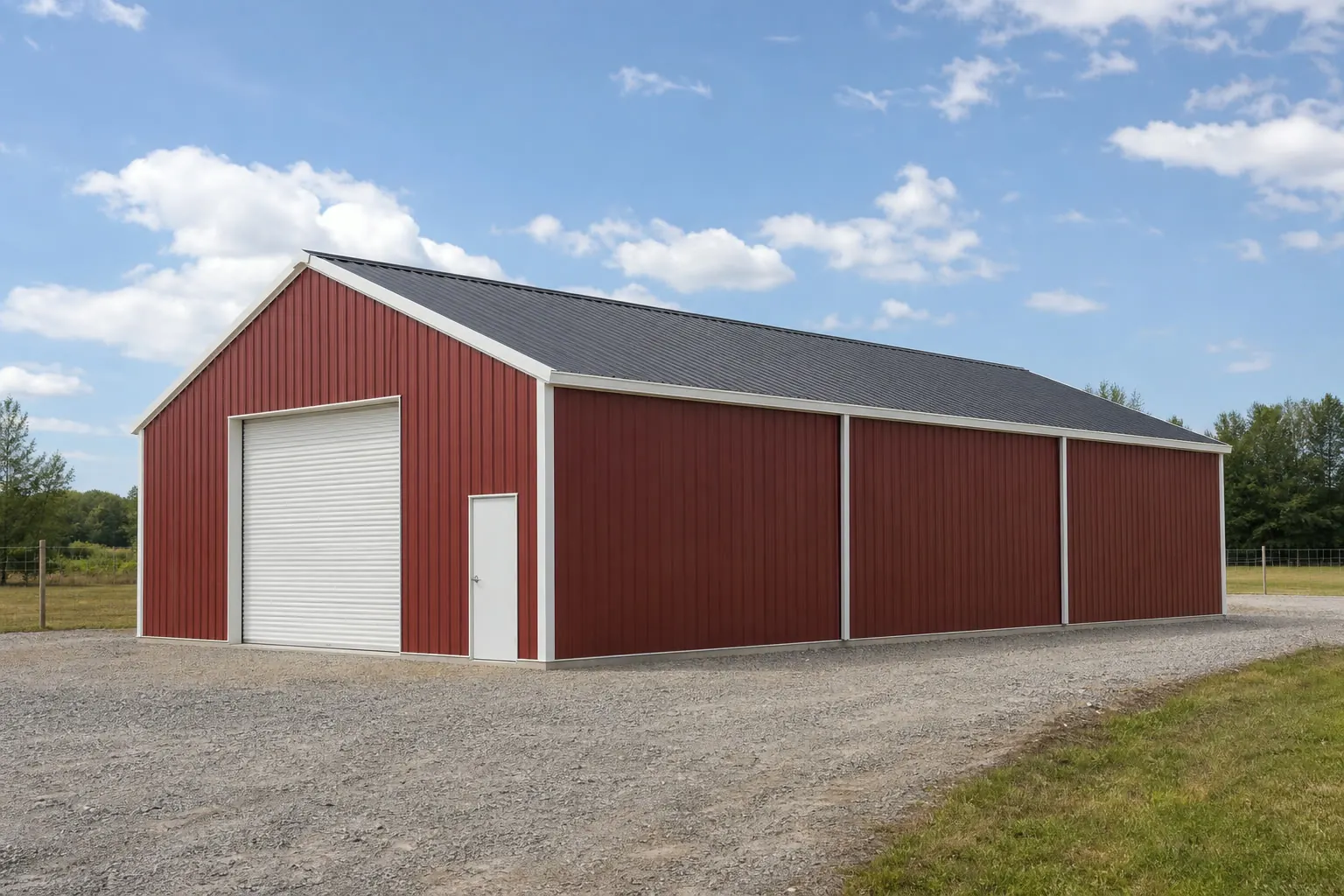
Terrain
Five provinces, five storage-building briefs
The same steel shell needs a different slab and access plan depending on which of Virginia's five named provinces it lands in.
Coastal Plain
Flat, low-relief ground near the Chesapeake Bay and Atlantic coast; grading to move water away from the slab matters more than compaction strength here.
Piedmont
Rolling terrain through the Richmond and Charlottesville corridor; a leveled, compacted base reduces long-term settling risk under a loaded floor.
Blue Ridge
Elevated, sloped ground where a cut-and-fill pad is often needed before foundation work, and where access-road grade affects delivery logistics.
Valley and Ridge
Alternating ridgelines and valleys mean the flattest available ground may sit away from the most convenient access point; plan door orientation around the truck route, not just the terrain.
Appalachian Plateau
The most rugged of the five provinces in Virginia's far southwest; expect the most extensive site prep of any province before a large storage building can go in.
Demand
Two different buyers for the same building
Virginia's storage-building demand splits between growing residential construction and a shrinking but still sizable farm base, and each buyer wants a different footprint.
The Census Bureau's Building Permits Survey recorded 34,059 total new privately-owned housing units authorized statewide in 2024 — 22,796 in single-family buildings, 448 in 2-unit buildings, 80 in 3-4 unit buildings, and 10,735 in buildings of 5 or more units. That volume of new residential and multi-unit construction points to steady demand for overflow storage, contractor storage, and small-business inventory space in the counties absorbing that growth, independent of agricultural use.
At the same time, USDA's Census of Agriculture counted 38,995 farms in Virginia in 2022, down from 43,225 in 2017. A working farm still needs bulk storage for equipment, feed, or harvested crops, but a declining farm count argues against assuming ever-larger agricultural storage demand; sizing should follow the specific operation's current acreage and equipment, not a statewide growth trend that the data doesn't support.
In practice, a buyer in a fast-growing Northern Virginia or Hampton Roads locality is more likely shopping for a mid-size footprint for personal or business overflow, while a buyer on working land in the Shenandoah Valley or Southside is more likely sizing to a specific tractor, trailer, or bulk-input need. Neither market is bigger than the other on this evidence — they're just different buyers asking for different things from the same steel shell.
Footprints
Matching footprint to intended load
Virginia storage-building sizing tends to follow the two markets above rather than one fixed default.
30′ × 40′
1,200 sq ft
A common fit for personal overflow or small-business inventory near growing residential counties.
40′ × 60′
2,400 sq ft
Sized for farm equipment and bulk agricultural inputs on working Virginia land.
50′ × 100′
5,000 sq ft
A commercial-scale footprint suited to distribution or fleet storage.
Example Configuration — for planning purposes only.
Confirm truck or trailer turning radius on-site before finalizing door placement, especially on graded Blue Ridge or Valley and Ridge pads.
Plan your Virginia storage building
Share your province, locality and intended use, and we'll connect you with builders who understand your specific terrain and drainage conditions.
Storm & Water
Checking your specific locality, not a statewide average
Virginia's 133 counties and independent cities each carry their own hazard profile, and a storage building's anchoring and drainage plan should follow that specific rating.
FEMA's National Risk Index scores all 133 of Virginia's counties and independent cities individually across 18 natural hazard types, from coastal flooding to high wind to winter weather. A storage building sited on the Eastern Shore and one sited in the Blue Ridge foothills can carry meaningfully different documented exposure even within the same commonwealth, so a locality-level lookup is the accurate step, not a general statewide hazard claim.
On the moisture side, Richmond's 1991-2020 NOAA normal shows 45.50 inches of annual precipitation and 8.8 inches of snow — useful as a reference point for the Piedmont corridor, but not a stand-in for Coastal Plain humidity or mountain-province precipitation patterns further west. Site drainage and roof runoff planning should be confirmed against local conditions and your building department's requirements, not against Richmond's single-station figure.
- Pull your county or city's FEMA NRI rating
- Statewide claims can't substitute for a locality-specific hazard lookup.
- Treat Richmond's climate normal as a reference point
- Confirm local rainfall and drainage patterns for your own province rather than designing to one station's figure.
- Elevate high-value inventory racking
- A modest elevation above slab level protects goods if water intrudes during a heavy-rain event, particularly on Coastal Plain or low-lying Piedmont sites.
Use Cases
How Virginia storage buildings get used
The same basic steel shell gets configured differently depending on the property and the buyer behind it.
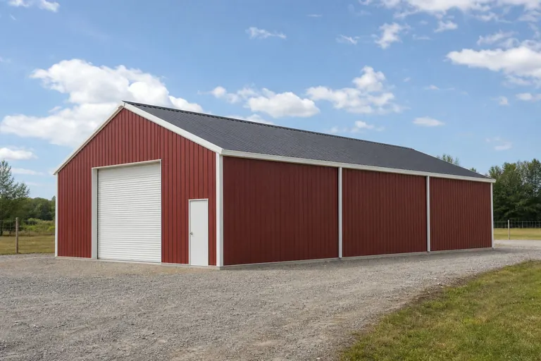 Residential & Small-Business OverflowSecure, organized storage in fast-growing Northern Virginia and Hampton Roads localities tracking new housing construction.Working-Farm StorageWide clear-span buildings for equipment and bulk inputs sized to a specific operation's acreage, not a statewide average.Mountain-Province StorageBuilt on a graded or cut-and-fill pad to fit the available flat ground in Blue Ridge or Valley and Ridge counties.
Example Configuration — for planning purposes only.
Before You Order
Getting a Virginia storage building ready to permit
Because permitting, soil conditions and hazard exposure are decided locally in Virginia, prep work looks different depending on your county or independent city.
Step 1
Identify your province first
Coastal Plain, Piedmont, Blue Ridge, Valley and Ridge, or Appalachian Plateau ground each calls for a different slab and drainage plan; confirm which one your parcel sits in.
Step 2
Confirm your locality's FEMA NRI hazard rating
FEMA scores each of Virginia's 133 counties and independent cities individually across 18 hazard types; pull yours before finalizing anchoring specs.
Step 3
Ask about agricultural review paths on working land
With Virginia's farm count at 38,995 in 2022, many localities offer a distinct review path for bona fide agricultural storage; confirm eligibility before assuming standard commercial permitting applies.
Step 4
Size door openings to your largest vehicle or implement
Trailer and truck access is a common source of re-quoting after the fact; measure your largest piece of equipment before locking in a footprint.
Step 5
Plan access roads on sloped provinces
Blue Ridge, Valley and Ridge, and Appalachian Plateau sites should confirm delivery-truck grade and turning radius before scheduling.
Questions
Virginia storage building questions
What buyers commonly ask before committing to a Virginia storage-building site.
Yes, in approach if not in code. Coastal Plain, Piedmont, Blue Ridge, Valley and Ridge, and Appalachian Plateau ground each present different drainage, compaction, or slope conditions; confirm exact requirements with your local building department and a foundation contractor.
Not on the current evidence. Virginia's farm count fell from 43,225 in 2017 to 38,995 in 2022, while the state authorized 34,059 new housing units in 2024, so residential and small-business overflow storage is a distinct and documented driver alongside working-land use.
No. FEMA's National Risk Index scores all 133 of Virginia's counties and independent cities individually across 18 hazard types. Check your specific locality before finalizing anchoring or drainage plans.
It depends on the operation. Given the state's declining farm count, size clear-span width and door openings to your current equipment and acreage rather than a statewide default.
Treat it as a reference point only. Richmond's NOAA normal of 45.50 inches of annual precipitation reflects one Piedmont-area station and doesn't represent Coastal Plain humidity or mountain-province rainfall further west.
Permit requirements are set locally, so confirm exact thresholds, inspections and setback rules with your county or independent city building department before ordering.
Sources for the Virginia facts on this page
This page states no code requirement, wind speed, snow load, permit rule, price or supplier claim. The state-specific facts it does use are listed with their publisher below.
Virginia Energy (the state geological survey) identifies five distinct physiographic provinces crossing the state: the Coastal Plain, Piedmont, Blue Ridge, Valley and Ridge, and Appalachian Plateau.
Virginia Energy (Virginia Department of Energy, Division of Geology and Mineral Resources) · Reference material, current · Tier 2
https://energy.virginia.gov/geology/FossilProvinces.shtmlVirginia builders and developers were authorized (by building permit) to build 34,059 total new privately-owned housing units in 2024 (22,796 in single-family buildings, 448 in 2-unit buildings, 80 in 3-4 unit buildings, and 10,735 in buildings of 5+ units).
U.S. Census Bureau · 2024 (final annual) · Tier 1
https://www2.census.gov/econ/bps/State/st2024a.txtVirginia had 38,995 farms in 2022, down from 43,225 farms in 2017.
USDA National Agricultural Statistics Service (NASS), Virginia Field Office · 2022 (with 2017 comparison) · Tier 2
https://articles.vafb.com/new-census-reveals-a-decrease-in-farms-and-farmland/FEMA's National Risk Index tool provides county- and tract-level composite and hazard-specific risk scores for all 133 of Virginia's counties and independent cities across 18 natural hazard types.
Federal Emergency Management Agency (FEMA) · Current NRI release · Tier 1
https://www.fema.gov/flood-maps/products-tools/national-risk-indexRichmond, VA's 1991-2020 annual climate normal precipitation is 45.50 inches with an annual normal snowfall of 8.8 inches.
NOAA National Centers for Environmental Information (NCEI) · 1991-2020 · Tier 1
https://www.ncei.noaa.gov/access/services/data/v1?dataset=normals-annualseasonal-1991-2020&dataTypes=ANN-PRCP-NORMAL,ANN-SNOW-NORMAL&stations=USW00013740&format=json