
Storage building · AR
Storage Buildings in Arkansas
Arkansas's storage building market is shaped by a land-use trend that is easy to miss: the state had 37,756 farms in 2022, down 11% from 2017, but those remaining farms average 363 acres, up 12% over the same period. Fewer, larger operations tend to consolidate equipment and inputs into fewer, larger storage buildings rather than several small ones scattered across a property. Layer in Arkansas's geography — flat, historically flood-prone Delta bottomland in the east against sloped Ozark and Ouachita ground in the west and north — and a storage building's foundation and drainage plan depends heavily on which side of the state it sits.
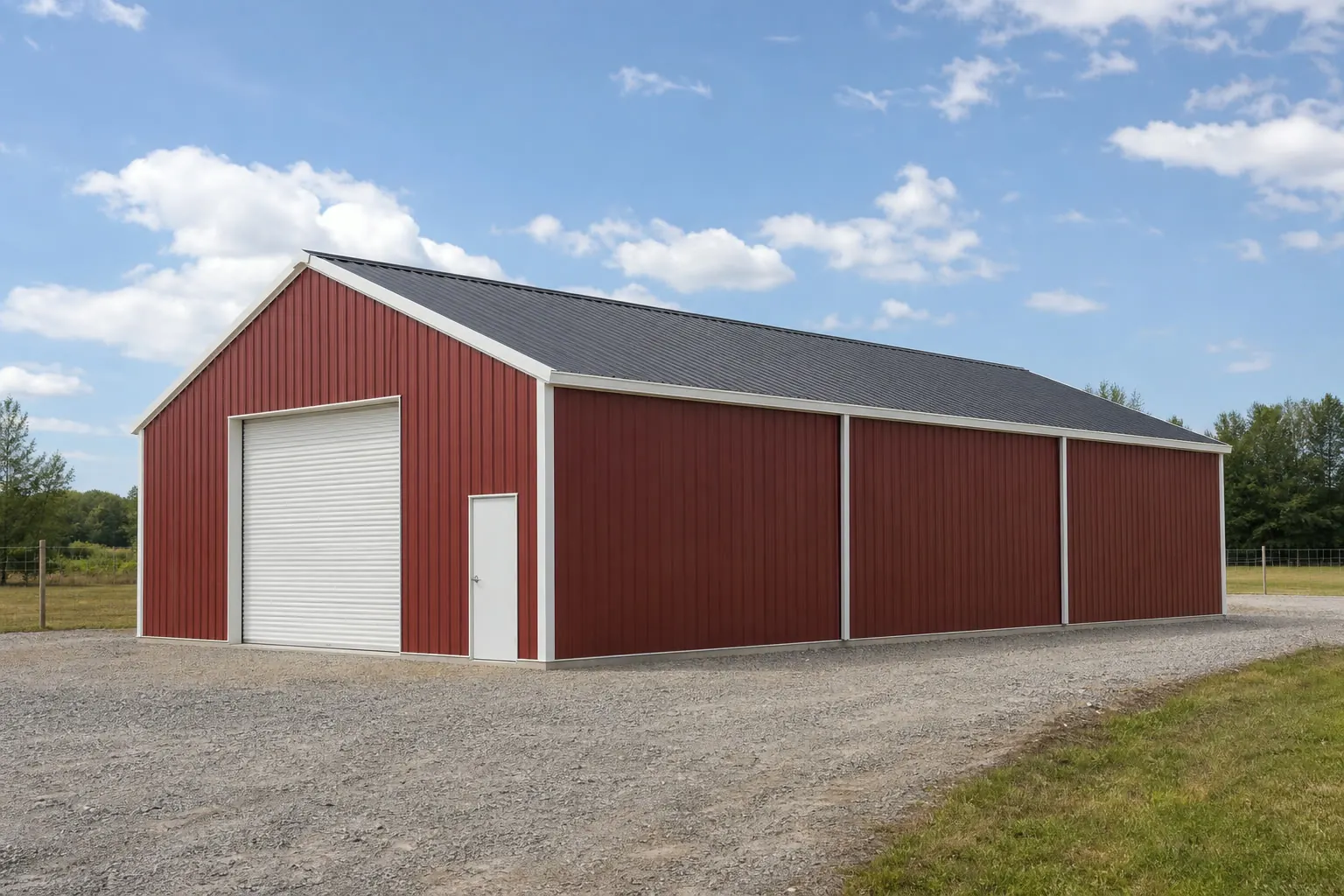
Fewer, Larger Farms Are Reshaping Arkansas Storage
The 2022 Census of Agriculture found 37,756 farms in Arkansas, an 11% drop from 2017, while the state's 13,722,525 acres of land in farms pushed average farm size up 12% to 363 acres. That trend — fewer operations working more acreage each — tends to concentrate equipment, seed and chemical storage into fewer, larger buildings rather than spreading it across several small structures. A storage building planned today on a consolidated Arkansas farm is more often sized for years of accumulated equipment than for a single tractor and trailer.
Foundation & Siting
Delta bottomland versus Ozark/Ouachita highland ground
Where a storage building sits within Arkansas changes the foundation conversation more than its intended use does.
The Arkansas Delta lies within the Mississippi Alluvial Plain, a region the U.S. Geological Survey documents as low, flat and historically flood-prone. A storage building here does best with a pad set slightly above surrounding grade and an apron graded to carry water away, since the flat ground gives standing water nowhere else to go.
The Ozark Plateau and the Ouachita Mountains, covering the state's northern and western reaches, present the opposite problem: sloped ground that needs cut-and-fill grading before a slab can go in at all. On these sites, the drainage question shifts from 'how do we get water off a flat lot' to 'how do we shed water off a graded slope without eroding the pad.'
Either region also has to account for Arkansas's humid, four-season climate once the building is enclosed: seed, feed and chemical inputs stored in a sealed steel building can sweat and degrade faster in humid air than in a dry climate, which is a reasonable argument for ridge venting or powered exhaust fans sized to the building's volume rather than relying on door openings alone for air exchange.
- Elevated Pad
- Worth considering on Delta bottomland to keep the slab above standing water during wet periods.
- Cut-and-Fill Grading
- The typical first site-prep step on sloped Ozark or Ouachita ground.
- Local Soil Check
- The most reliable way to confirm which approach fits your specific Arkansas parcel.
- Ridge or Powered Ventilation
- Worth specifying for enclosed buildings storing seed, feed or chemical inputs vulnerable to humid-air degradation.
Climate Reference
What Little Rock's Climate Data Does — and Doesn't — Tell You
NOAA's Little Rock station data is the most detailed public climate reference for Arkansas, but it describes one location, not the whole state.
NOAA's National Centers for Environmental Information publish 1991-2020 climate normals for the Little Rock Adams Field station, and the National Weather Service's Little Rock office maintains a separate climatological summary covering period-of-record averages and extremes for the same area. Both are useful starting references for humidity, rainfall and temperature patterns near the state's population center.
Neither source claims to represent Arkansas as a whole, and that distinction matters for a storage building sited well outside central Arkansas. The Delta's flat, humid bottomland and the drier, more variable conditions across Ozark and Ouachita highland elevations can differ meaningfully from the Little Rock record, particularly for humidity levels that affect how quickly stored grain, seed or chemical inputs pick up moisture inside a sealed steel building. Your county building department and your engineer set the structural design criteria for this site — confirm them before you finalize the frame, rather than defaulting to the Little Rock normal for a property elsewhere in the state.
Sourced Figures
Arkansas farm and land context for storage planning
These figures frame why storage building demand and sizing skew toward larger, consolidated structures in Arkansas.
| Metric | Value | Source |
|---|---|---|
| Total Farms (2022) | 37,756 (down 11% since 2017) | USDA NASS |
| Land in Farms | 13,722,525 acres | USDA NASS |
| Average Farm Size | 363 acres (up 12% since 2017) | USDA NASS |
| Total State Land Area | 52,035.5 sq mi | U.S. Census Bureau |
Total Farms (2022)
- Value
- 37,756 (down 11% since 2017)
- Source
- USDA NASS
Land in Farms
- Value
- 13,722,525 acres
- Source
- USDA NASS
Average Farm Size
- Value
- 363 acres (up 12% since 2017)
- Source
- USDA NASS
Total State Land Area
- Value
- 52,035.5 sq mi
- Source
- U.S. Census Bureau
Get Your Arkansas Storage Building Quote
Tell us about your acreage and storage needs, and we'll connect you with builders who understand Arkansas's terrain and land-use patterns.
Configurations
Common Arkansas storage building uses
These configurations reflect the state's farm-consolidation trend and terrain split.
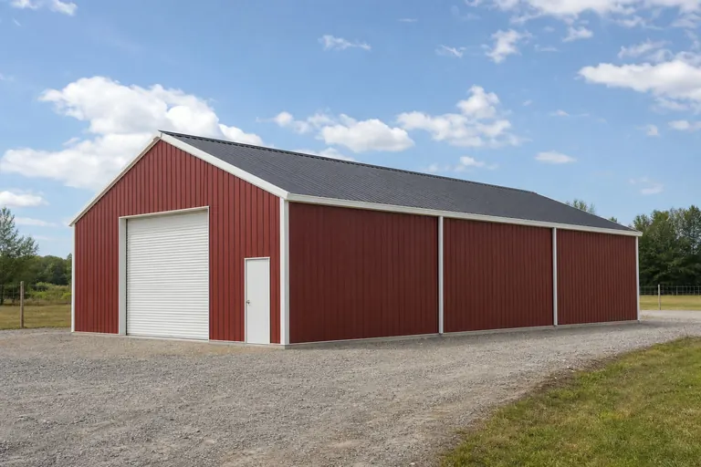 Consolidated Equipment BarnSized for accumulated machinery on Arkansas's growing average farm acreage, often with multiple bays.Delta Bottomland StorageElevated pad and drainage-first design for flat, historically flood-prone ground.Highland Input StorageGraded highland siting for seed, chemical and parts storage on Ozark or Ouachita terrain.
Example Configuration — for planning purposes only.
Action Plan
Steps to plan an Arkansas storage building
These steps translate the state's land-use and terrain patterns into a concrete pre-build checklist.
Step 1
Confirm your farm's consolidation plan
If acreage has grown, size the storage building for accumulated equipment rather than a single-season need.
Step 2
Identify your terrain region
Delta bottomland and Ozark/Ouachita highland ground call for different foundation approaches, as outlined above.
Step 3
Check your county's FEMA NRI hazard profile
Pull the relative tornado and flood scores for your county before choosing a slab elevation or roof panel gauge.
Step 4
Verify local permit and zoning rules
Storage building thresholds and setback rules are set locally in Arkansas; confirm with your county or municipal office.
Step 5
Plan bay separation for inputs versus equipment
If the building will hold both machinery and chemical inputs, decide on multi-bay separation early rather than retrofitting a partition after the shell is up.
Footprint
Footprints That Fit Arkansas's Consolidation Trend
Sizing skews larger than it might have a decade ago, given the state's rising average farm acreage.
30′ × 40′
1,200 sq ft
A reasonable starting footprint for a smaller parcel or a residential accessory building.
40′ × 60′
2,400 sq ft
Fits accumulated equipment and general inputs on a mid-size consolidated operation.
40′ × 80′
3,200 sq ft
A dedicated equipment or commodity building sized for the state's larger average farm acreage.
Example Configuration — for planning purposes only.
Footprint pages carry bay layout and door detail for each size; this page explains only why Arkansas's land-use trend points toward these ranges.
Arkansas FAQ
Storage Building FAQ
Honest answers for Arkansas residents planning a steel storage building.
USDA's 2022 Census of Agriculture shows Arkansas's farm count fell 11% since 2017 while average farm size grew 12% to 363 acres, a consolidation pattern that tends to favor fewer, larger storage buildings over several small ones.
Yes. Delta bottomland within the Mississippi Alluvial Plain benefits from an elevated pad and strong apron drainage, while Ozark or Ouachita highland ground needs cut-and-fill grading before slab work. A local soil check confirms which applies to your lot.
In most cases, yes, though thresholds and review processes are set locally. Confirm with your county or municipal building department before starting site work.
FEMA's National Risk Index is queryable at the county and tract level for all 75 Arkansas counties across 18 hazard types, including tornado and riverine flooding, and is useful for comparing two candidate sites on the same property.
Many owners on larger consolidated Arkansas farms prefer a single storage building with multiple bays for safety and access reasons rather than several small standalone sheds; your local fire and building codes may also affect this choice.
There is no single statewide standard size. Given the state's rising average farm size of 363 acres, many owners plan for a larger footprint than they might have a decade ago; your specific equipment and input volume should drive the final dimensions.
Only as a general reference. NOAA's 1991-2020 normals and the NWS climatological summary both describe the Little Rock area specifically. Delta bottomland and Ozark or Ouachita highland sites can see different humidity and precipitation patterns, so confirm structural design criteria for your specific site with your county building department and engineer.
Sources for the Arkansas facts on this page
This page states no code requirement, wind speed, snow load, permit rule, price or supplier claim. The state-specific facts it does use are listed with their publisher below.
Arkansas had 13,722,525 acres of land in farms in 2022, an average farm size of 363 acres, up 12% from 2017.
USDA NASS · 2022 · Tier 1
https://www.nass.usda.gov/Publications/AgCensus/2022/Online_Resources/County_Profiles/Arkansas/cp99005.pdfArkansas had 37,756 farms in 2022, down 11% from 2017.
USDA National Agricultural Statistics Service (NASS) · 2022 · Tier 1
https://www.nass.usda.gov/Publications/AgCensus/2022/Online_Resources/County_Profiles/Arkansas/cp99005.pdfThe Arkansas Delta in the eastern part of the state lies within the Mississippi Alluvial Plain, a low, flat, historically flood-prone floodplain region distinct from the higher Ozark Plateau and Ouachita Mountains to the west.
U.S. Geological Survey (USGS) · Originally published 1923; USGS reference · Tier 1
https://pubs.usgs.gov/bul/0730d/report.pdfFEMA's National Risk Index is an interactive county/tract-level tool covering 18 natural hazards, including tornado, riverine flooding, and earthquake, that can be queried for Arkansas's 75 counties.
Federal Emergency Management Agency (FEMA) · Current NRI release · Tier 1
https://www.fema.gov/flood-maps/products-tools/national-risk-indexThe Census Bureau's Building Permits Survey publishes annual state-level totals of privately-owned housing units authorized by building permits for Arkansas, alongside all other states, in its annual highlights report.
U.S. Census Bureau · 2023 (annual) · Tier 1
https://www.census.gov/construction/bps/pdf/2023annualhighlights.pdfNOAA NCEI's 1991-2020 climate normals for Little Rock Adams Field list station-level monthly and annual temperature, precipitation, and degree-day data for the Little Rock area.
NOAA National Centers for Environmental Information (NCEI) · 1991-2020 · Tier 1
https://www.ncei.noaa.gov/access/services/data/v1?dataset=normals-monthly-1991-2020&endDate=9996-12-31&format=pdf&startDate=0001-01-01&stations=USW00013963NWS Little Rock maintains a published climatological summary document with period-of-record averages, statistics, and records for the Little Rock station.
National Weather Service (NOAA), Little Rock AR office · Period of record through most recent update · Tier 1
https://preview.weather.gov/media/lzk/clilit.pdf