
Hay barn · OK
Hay Barns in Oklahoma
Oklahoma is not one landscape for a hay operation: the Ouachita Mountains and Ozark Plateau anchor the east, while the western two-thirds of the state sit in the Great Plains physiographic province. A hay barn sited on a 467-acre average Oklahoma farm has to answer to whichever side of that line it's on — open-face orientation on the plains solves a wind problem; the same open face in a wooded eastern hollow solves an airflow problem instead. Getting the orientation decision backwards costs you either a scattered roof or a stack that never cures.
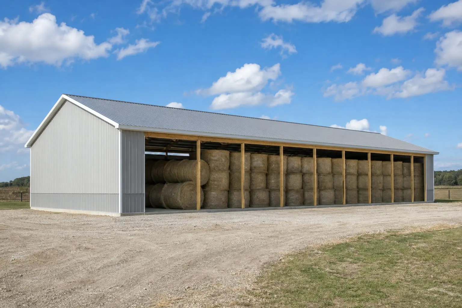
Site Logic
One State, Two Different Siting Problems
Oklahoma's hay barn siting question splits along the same line the U.S. Geological Survey uses to describe the state: Great Plains to the west, transitioning toward the Central Lowland and the Ozark/Ouachita uplands to the east.
USGS physiographic mapping (Fenneman, Bulletin 730-D) places western Oklahoma within the Great Plains province, distinct from the Central Lowland province that the eastern portion of the state transitions into. That line matters for a hay barn because it is also, roughly, a line between two different wind and terrain problems. On the open plains, a barn's exposed open face meets sustained, unobstructed wind with nothing upwind to slow it down. In the folded, forested terrain the Oklahoma Geological Survey describes around the Ouachita Mountains, that same open face may sit in the lee of a ridge or a stand of timber, protected from wind but also starved of the airflow a curing hay stack needs.
This is why 'orient the open side away from prevailing wind' is not a universal rule for Oklahoma. On the plains, it is close to essential — the state's open topography, described in NOAA's narrative climate summary as characteristic of the southern Great Plains, gives wind a long uninterrupted run at an exposed structure. In the wooded eastern counties, the more useful question becomes whether the site has enough natural or engineered airflow at all, since terrain and tree cover already do the wind-blocking that a plains farmer has to design for.
A builder or landowner working from a single generic 'hay barn' spec sheet has no way to know which of these two problems applies to their parcel. The fix is not a different building type — it's asking the orientation question against your own site's terrain before finalizing which sides stay open.
Before You Build
Site Questions Specific to Oklahoma Terrain
Work through these before committing to an open-face orientation.
Step 1
Which physiographic zone is the parcel in — plains or eastern upland/mountain terrain?
This determines whether wind exposure or airflow starvation is the bigger design risk.
Step 2
Is the site downwind or in the lee of a ridge, tree line, or existing structure?
Relevant near the Ouachita Mountains and Ozark Plateau, where terrain can block both wind and useful cross-ventilation.
Step 3
How does water move across the parcel after rain?
A statewide precipitation normal was not confirmed in this evidence set; check your county's NWS station data directly.
Step 4
Has the local building department confirmed whether this structure needs a permit on this parcel?
Code adoption authority sits with the OUBCC, but local application varies; confirm before you build.
Step 5
What is the operation's own bale volume, not a generic statewide figure?
At 467 acres average per farm statewide, sizing should follow your own cutting schedule and herd count.
Regional Context
Terrain Zones That Change the Build
Oklahoma Geological Survey and USGS descriptions of the state's landscape point to distinct siting conditions.
Western Plains
Classified by USGS as part of the Great Plains physiographic province. Open, largely unobstructed terrain means a hay barn's open working face meets sustained wind with little upwind interruption; orientation planning here is about managing that exposure.
Central / Transition Belt
The area where the state's western Great Plains character gives way toward the Central Lowland province to the east. Site conditions here are mixed and should be assessed parcel by parcel rather than assumed from either extreme.
Ouachita Mountains & Arkansas River Valley (Southeast)
Described by the Oklahoma Geological Survey as defined by resistant, folded and faulted rock masses forming mountain terrain up to roughly 2,000 feet above their base. Terrain and tree cover here can block wind but also block useful airflow through a stack.
Ozark Plateau (Northeast)
Marks the extreme northeastern corner of the state per the Oklahoma Climatological Survey. Similar to the Ouachita zone, elevated and wooded terrain changes the airflow calculation compared with open plains sites.
Plan Your Oklahoma Hay Barn
Get siting and layout guidance suited to your part of Oklahoma, from open plains exposure to sheltered eastern terrain.
Orientation Logic
Open-Face Orientation by Site Condition
The right open-side orientation depends on which problem your specific parcel actually has.
| Site condition | Primary risk | Orientation approach |
|---|---|---|
| Open plains, no windbreak | Sustained wind driving rain into the stack | Trail the open face away from the prevailing approach wind; use the roofline and any windbreak to shield the working side. |
| Sheltered eastern hollow or wooded lot | Poor airflow, stack heating or mold | Prioritize cross-ventilation over wind protection; consider a taller ridge vent or a second partially open side. |
| Transition-zone parcel with mixed exposure | Unclear which risk dominates | Walk the site across a full season if possible, or consult a local extension agent before fixing the open-face direction. |
Open plains, no windbreak
- Primary risk
- Sustained wind driving rain into the stack
- Orientation approach
- Trail the open face away from the prevailing approach wind; use the roofline and any windbreak to shield the working side.
Sheltered eastern hollow or wooded lot
- Primary risk
- Poor airflow, stack heating or mold
- Orientation approach
- Prioritize cross-ventilation over wind protection; consider a taller ridge vent or a second partially open side.
Transition-zone parcel with mixed exposure
- Primary risk
- Unclear which risk dominates
- Orientation approach
- Walk the site across a full season if possible, or consult a local extension agent before fixing the open-face direction.
Configurations
How Oklahoma Operations Use Hay Storage
Storage needs scale with the operation, not with a fixed statewide template.
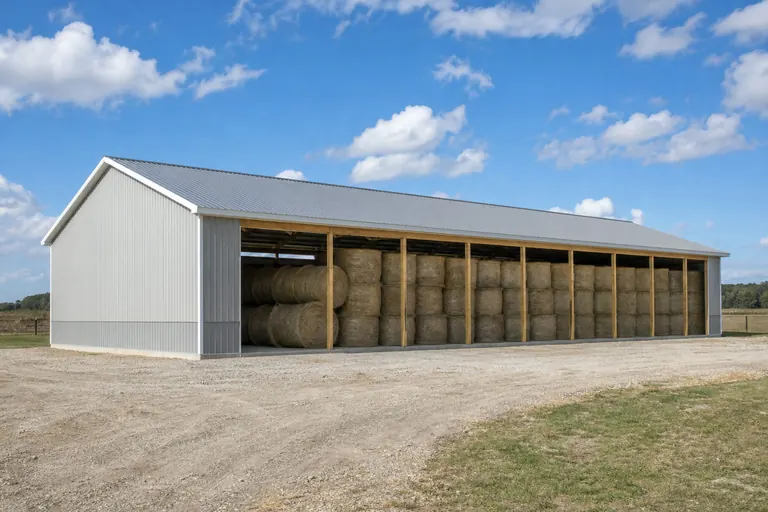 Row-crop / mixed farm hay reserveA single working bay sized to one cutting's output, often paired with equipment storage during the off-season.
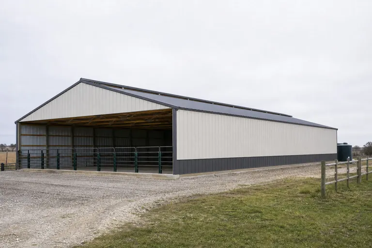 Cattle operation feed reserveMultiple bays sized to carry a herd through winter, with the working face positioned for daily loader access.
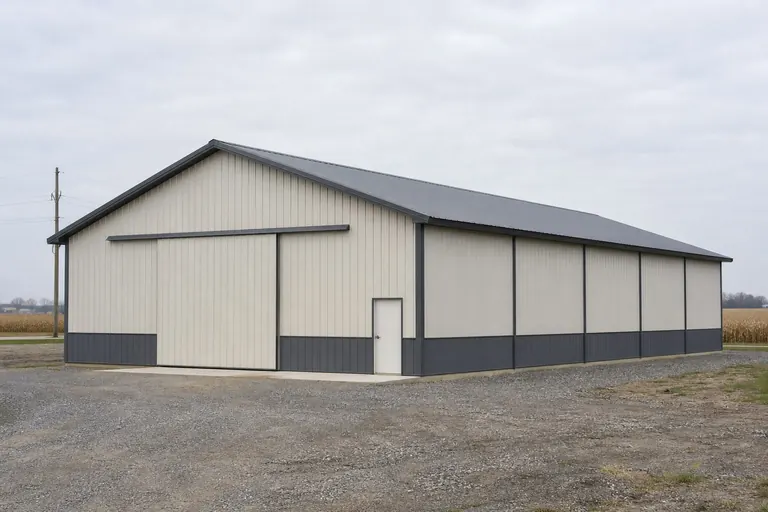 Small-acreage hobby hay storageA compact open-sided structure sized for a handful of round bales rather than a full working apron.
Example Configuration — for planning purposes only.
Scale
Footprint Choices for Oklahoma Hay Storage
Bay count should follow your own harvest volume; these are common starting footprints, not a required standard.
30′ × 40′
1,200 sq ft
A single working bay suited to a smaller mixed-farm hay reserve.
30′ × 60′
1,800 sq ft
Two working bays, useful where a farm cuts more than once per season.
40′ × 80′
3,200 sq ft
A larger reserve sized for a cattle operation carrying a herd through winter.
Example Configuration — for planning purposes only.
Whatever size you choose, confirm permit and setback requirements with your local building department before finalizing the plan.
Questions
Oklahoma Hay Barn Questions
Common questions from Oklahoma landowners planning hay storage.
The Oklahoma Uniform Building Code Commission governs code adoption at the state level, but how that reaches a specific agricultural structure on your parcel is a local decision. Confirm directly with your county or municipal building department before you build.
No. Western plains sites generally benefit from turning the open face away from sustained prevailing wind, while sheltered eastern sites near the Ouachita Mountains or Ozark Plateau may need to prioritize airflow over wind protection instead.
Size it to your own cutting schedule and herd needs rather than a statewide average. Oklahoma farms averaged 467 acres in the 2022 Census, but that figure describes overall farm scale, not a hay storage standard.
The evidence available confirms station-level rainfall records exist for individual NWS offices like Tulsa, but a single confirmed statewide precipitation normal was not available in this review. Check your local NWS station data directly for design decisions.
Farm count declined from 78,531 in 2017 to 70,378 in 2022 per USDA NASS. If you're planning storage meant to serve an operation for years, it's worth sizing for realistic future herd or acreage plans rather than only current-season volume.
Sources for the Oklahoma facts on this page
This page states no code requirement, wind speed, snow load, permit rule, price or supplier claim. The state-specific facts it does use are listed with their publisher below.
USGS historical survey work (Fenneman, USGS Bulletin 730-D) classifies western Oklahoma within the Great Plains physiographic province, part of the larger interior plains distinguished from the Central Lowland province to the east.
U.S. Geological Survey (USGS Bulletin 730-D, Nevin M. Fenneman) · Originally published 1923; USGS reference · Tier 1
https://pubs.usgs.gov/bul/0730d/report.pdfNOAA NCEI publishes a narrative 'Climate of Oklahoma' noting the state's southern Great Plains location and topographic features including the Ouachita Mountains, the Arkansas River Valley, and the Ozark Plateau in the northeast.
NOAA National Centers for Environmental Information (NCEI) · Historical narrative (NCEI climate normals series) · Tier 1
https://www.ncei.noaa.gov/data/climate-normals-deprecated/access/clim60/states/Clim_OK_01.pdfOklahoma had 70,378 farms in 2022, down from 78,531 in 2017.
USDA NASS · 2022 (with 2017 comparison) · Tier 1
https://www.nass.usda.gov/Publications/AgCensus/2022/Full_Report/Volume_1,_Chapter_1_State_Level/Oklahoma/st40_1_001_001.pdfOklahoma had 32,897,563 acres of land in farms in 2022, an average farm size of 467 acres.
USDA NASS · 2022 · Tier 1
https://www.nass.usda.gov/Publications/AgCensus/2022/Full_Report/Volume_1,_Chapter_1_State_Level/Oklahoma/st40_1_001_001.pdfOklahoma's total land area was measured at 68,594.2 square miles as of the 2010 Census.
U.S. Census Bureau · 2010 Census · Tier 1
https://www.census.gov/geographies/reference-files/2010/geo/state-local-geo-guides-2010/oklahoma.htmlThe Oklahoma Uniform Building Code Commission (OUBCC) is the state body established by the Oklahoma Uniform Building Code Commission Act (59 O.S. §§ 1000.20-1000.30) that governs code matters and issues rules addressing code adoption by local jurisdictions and other political subdivisions.
State of Oklahoma (oklahoma.gov/oubcc) · Current statute/administrative rules · Tier 2
https://oklahoma.gov/oubcc/faqs.html