
Shed · OR
Sheds in Oregon
A shed is small enough that Oregon buyers routinely site it by eye, which is a bigger risk here than in a flatter, single-climate state, because Oregon is not one climate: NOAA's own narrative on the state credits the Pacific Ocean with a mild, wet west and the Cascade Range with holding back a drier, more continental east. A shed built on the wet side needs a different drainage and ventilation answer than one built on the dry side, and the Oregon Department of Geology and Mineral Industries maintains a statewide landslide database that is worth a quick check even for a building this small, particularly on sloped ground.
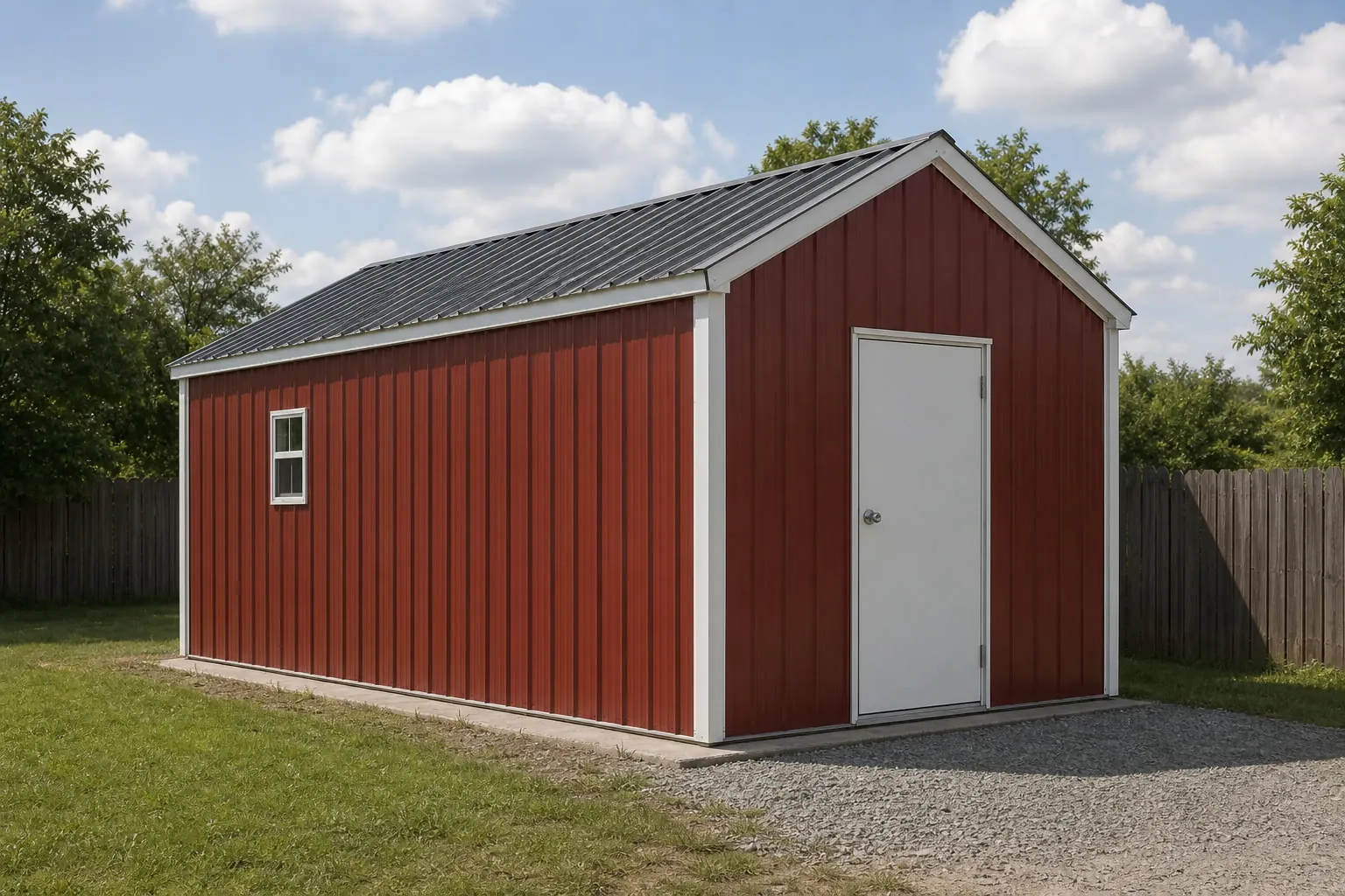
A Small Building, Two Oregon Climates
Sheds are the building most likely to be sited casually and regretted specifically, and Oregon makes that riskier than a single-climate state would. NOAA's descriptive climate narrative for Oregon is explicit that the Pacific Ocean governs a mild, wet west while the Cascade Range holds back a drier, more continental east. A shed pad chosen without accounting for which side of that divide it sits on can end up with either a drainage problem it was never designed for, or an over-built moisture strategy it never needed. A quick check of DOGAMI's statewide landslide database rounds out the pre-order list for anything sited on sloped ground.
Climate
Why the Cascades decide your shed's drainage plan
A shed's pad, roof pitch and door orientation should respond to whichever side of Oregon's climate divide the parcel sits on, not a single statewide default.
On the west side, Portland Airport's published 1991-2020 water-year precipitation normal of 36.91 inches is one station's figure, not a state total, but it is consistent with the wet-west pattern NOAA's narrative describes for the Willamette Valley and coastal region generally. A shed here benefits from a pad raised slightly above surrounding grade, generous roof overhangs directing runoff away from the door approach, and attention to ongoing damp-ground drainage around the perimeter.
East of the Cascades, the same NOAA narrative describes a drier, more continental pattern. A shed there is less exposed to sustained wet-ground drainage problems and more exposed to wide daily and seasonal temperature swings, which can matter for anything stored inside that is sensitive to condensation from rapid temperature changes.
This page does not assign a statewide snow load, frost depth or wind speed to either side of the state; none of those figures is verified for Oregon as a whole in this evidence pack, and the local building department is the source of record for whichever applies to your specific parcel.
Before You Order
An Oregon shed siting checklist
Confirm these before the pad goes in, since none of them is a number this page will guess at.
- Confirm which side of the Cascade divide your parcel sits onDo not size a Willamette Valley drainage plan for an eastern Oregon parcel, or the reverse.
- Run a quick SLIDO check on sloped groundDOGAMI's statewide landslide database is a low-cost screen worth running even for a shed-sized foundation on a hillside or bench site.
- Ask your local building department about accessory-structure thresholdsFootprint, height and setback rules for a shed are set locally in Oregon and vary by county and city.
- Pull your county's FEMA National Risk Index reportAvailable individually for all 36 Oregon counties; do not assume a single statewide hazard level applies.
- Plan delivery access on a rural or former-farm parcelWith 35,547 farms recorded statewide in 2022, plenty of Oregon shed sites sit well back from a paved road; confirm a delivery vehicle can reach the pad.
Get shed quotes for your Oregon parcel
Tell suppliers your county, which side of the Cascades your parcel is on, and your intended foundation. Those answers make Oregon shed quotes comparable.
Where the parcel sits
Three Oregon shed-siting contexts
The same shed brief plays out differently depending on the parcel's side of the state and its terrain.
Willamette Valley and coastal west
Wet-season drainage and roof-runoff routing are the priority; check whether the county carries DOGAMI's more detailed seismic soil mapping.
Sloped or hillside sites anywhere in Oregon
A SLIDO landslide-susceptibility check is worth the time before final pad placement, regardless of which side of the state the parcel is on.
High desert and continental eastern Oregon
Drainage is a smaller concern than temperature-swing exposure for stored contents; access distance is often the bigger practical variable on larger rangeland parcels.
Footprints
Shed footprints suited to Oregon properties
Oregon shed buyers on rural or former-farm parcels commonly need enough room for seasonal equipment alongside general storage.
10′ × 12′
120 sq ft
A basic garden and tool-storage footprint suited to a suburban west-side lot.
12′ × 20′
240 sq ft
Holds a mower plus larger seasonal equipment with room to move around both.
16′ × 24′
384 sq ft
A rural-parcel utility shed with room for a workbench and additional equipment storage.
Example Configuration — for planning purposes only.
Confirm the local accessory-structure threshold before selecting a footprint; the size pages carry the dimensional detail.
Portland metro
A four-county exception to Oregon's usual pad-by-eye approach
Most Oregon counties have no published soil-amplification data at all, but four Portland-metro counties do, which is worth knowing even for a shed-sized foundation.
Outside of the SLIDO landslide screen, DOGAMI has gone further in Clackamas, Columbia, Multnomah and Washington counties, publishing coseismic landslide susceptibility, liquefaction susceptibility and soil amplification class maps built for FEMA's HAZUS loss-estimation methodology. A shed's own foundation is light enough that most local jurisdictions do not require engineering review of it, but a buyer in that four-county area who is also planning a heavier structure nearby, or who is simply curious about the ground under the whole property, has real published data to look at rather than guessing.
Everywhere else in Oregon, this level of soil-specific mapping has not been published by DOGAMI, so a shed sited outside those four counties relies on the statewide SLIDO landslide screen and a visual read of the site's slope rather than county-specific soil-amplification data.
Questions
Oregon Shed Questions
The Oregon-specific questions a general shed page cannot answer.
It depends on your county or city, and this page holds no single statewide threshold to publish. Confirm footprint, height and setback rules with the local building or zoning department before ordering.
Generally yes in emphasis. NOAA's climate narrative describes a wet west and a drier, more continental east divided by the Cascades, so a west-side shed typically needs more attention to sustained ground moisture while an east-side shed is less exposed to that specific problem.
On sloped or hillside ground, it is a reasonable precaution. DOGAMI's SLIDO database is maintained statewide specifically to flag landslide susceptibility before any foundation, regardless of building size, is placed.
No. The 36.91-inch water-year precipitation normal is specific to the Portland Airport station and represents the west-side Willamette Valley climate, not the state as a whole.
Often in practical terms, yes. Oregon recorded 35,547 farms in 2022; a subdivided or working farm parcel can mean longer delivery routes and existing access infrastructure to plan around compared with a suburban lot.
Pricing is handled by the cost silo. The Oregon-variable elements are the foundation approach, drainage detailing on the wet side of the state, and site access on rural parcels.
Sources for the Oregon facts on this page
This page states no code requirement, wind speed, snow load, permit rule, price or supplier claim. The state-specific facts it does use are listed with their publisher below.
NOAA NCEI publishes a narrative 'Climate of Oregon' noting the Pacific Ocean's dominant influence on the state's mild, varied climate and the Cascade Range's role in dividing wet western Oregon from drier eastern Oregon.
NOAA National Centers for Environmental Information (NCEI) · Historical narrative (NCEI climate normals series) · Tier 1
https://www.ncei.noaa.gov/data/climate-normals-deprecated/access/clim60/states/Clim_OR_01.pdfNWS Portland's climate book reports Portland's 1991-2020 normal water-year (Oct 1-Sept 30) total precipitation at 36.91 inches.
National Weather Service (NOAA), Portland OR office · 1991-2020 normal (record from 1872-73) · Tier 1
https://www.weather.gov/media/pqr/climate/ClimateBookPortland/pg96.pdfThe Oregon Department of Geology and Mineral Industries (DOGAMI) maintains the Statewide Landslide Information Database for Oregon (SLIDO), a state geologic-hazard mapping resource covering landslide susceptibility statewide.
Oregon Department of Geology and Mineral Industries (DOGAMI) · SLIDO-4.5 released April 12, 2024 · Tier 2
https://www.oregon.gov/dogami/slido/Pages/data.aspxFEMA's National Risk Index is the authoritative source for county- and state-level natural hazard exposure ratings across 18 hazard types, viewable via FEMA's own interactive report tool.
Federal Emergency Management Agency (FEMA) · Current NRI release · Tier 1
https://www.fema.gov/flood-maps/products-tools/national-risk-indexOregon had 35,547 farms in 2022, down 6% since 2017.
USDA National Agricultural Statistics Service (NASS) · 2022 · Tier 1
https://www.nass.usda.gov/Publications/AgCensus/2022/Online_Resources/County_Profiles/Oregon/cp99041.pdfDOGAMI has published coseismic landslide susceptibility, liquefaction susceptibility, and soil amplification class maps for Oregon's Clackamas, Columbia, Multnomah, and Washington counties, for use in FEMA's HAZUS loss-estimation methodology.
Oregon Department of Geology and Mineral Industries (DOGAMI) · 2019 · Tier 2
https://pubs.oregon.gov/dogami/ofr/O-19-09/O-19-09_report.pdf