
Garden shed · VT
Garden Sheds in Vermont
A Vermont garden shed answers to the mountains before it answers to the garden. The Vermont Fish & Wildlife Department's own landowner guide divides the state into named biophysical regions — the Green Mountains, Champlain Valley, Vermont Valley, and Northeastern Highlands — and a shed sited in one bears little resemblance, terrain-wise, to a shed sited in another. Add Burlington's 1991-2020 normal of 87.5 inches of annual snowfall, and even a small outbuilding needs a real answer for where snow sheds off the roof and how the base handles a long winter before anyone talks about shelving and paint color.
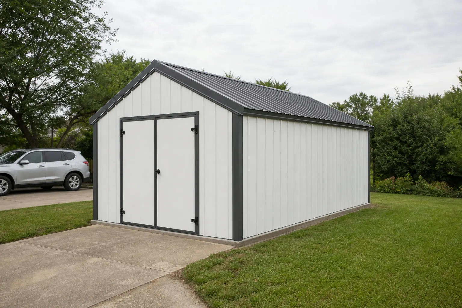
The intersection
Vermont's biophysical regions change where and how a shed sits
A shed footprint is small, but the ground under it varies a lot depending on which named region of the state it's in.
The Vermont Fish & Wildlife Department's landowner guide organizes the state into named biophysical regions — the Green Mountains, Champlain Valley, Vermont Valley, and Northeastern Highlands — reflecting genuinely mountainous, forested terrain rather than one uniform landscape. For a garden shed, that regional identity matters more than it would for many small buildings, because the site prep question (how much grading, how much drainage work, how much tree clearing) tends to track the region far more than the town.
The Champlain Valley, flanked by the Green Mountains to the east and the Adirondacks (in New York) to the west, is a lower-lying corridor that historically holds more of the state's flatter, previously cleared ground. A shed sited there is more likely to land on an already-open, gently sloped lot than one sited higher into the Green Mountains or out in the Northeastern Highlands, where forest cover and steeper grades are more the norm.
None of this is a substitute for a site visit. It is a reason to describe your actual region and elevation when requesting a quote rather than assuming a shed plan that works in one part of Vermont works everywhere in the state.
Site context
How Vermont's named regions differ for a shed site
Use the region as a starting expectation, then confirm the specifics for your actual lot.
Champlain Valley
Lower elevation and generally more previously cleared, flatter ground — often the simplest siting case for a shed base.
Green Mountains
Higher elevation and steeper terrain; expect more grading and drainage planning before placing a shed pad.
Vermont Valley and Northeastern Highlands
Named as distinct biophysical regions by Vermont Fish & Wildlife; confirm slope and tree cover with a site visit rather than assuming valley-floor conditions.
Exposure
An 87.5-inch snowfall normal drives the base and roof decisions
A small shed still needs a real answer for winter, because snow load and ground movement don't scale down with the building.
NOAA's 1991-2020 climate normal for Burlington shows 37.53 inches of annual precipitation and 87.5 inches of annual snowfall. NWS's Burlington office additionally maintains a public historical monthly snowfall record stretching back to the winter of 1892-93. Neither figure is a design load — snow load requirements and any applicable permit threshold are set by your local building department — but the length and consistency of that record is a reasonable basis for treating heavy annual snow as routine, not exceptional, when planning roof pitch and door clearance.
On the ground, that means a leveled and well-drained base matters even for a modest shed footprint, since freeze-thaw cycling can shift an unlevel base over a winter or two. Door placement relative to prevailing roof-shed direction, and enough clearance for a snow pile beside the door, are both worth deciding before the shed is sited rather than after the first winter.
- Leveled, drained base
- A gravel pad or skid base that sheds water reduces freeze-thaw movement under the shed floor.
- Roof-shed clearance at the door
- Site the door away from the roof's primary snow-shed side, or plan for regular clearing.
- Room for a snow pile
- Leave clearance beside the shed for plowed or shoveled snow that needs somewhere to go all winter.
Get Vermont garden shed quotes
Tell us your region, your lot's slope, and how you plan to use the shed. We route it with the Vermont and garden-shed context already attached.
Preparation
Before you place a shed on a Vermont lot
These are the practical items that most often change a Vermont shed plan after the fact.
Step 1
Identify your biophysical region
Champlain Valley, Green Mountains, Vermont Valley, or Northeastern Highlands siting realities differ meaningfully; describe yours when requesting a plan.
Step 2
Confirm permit and setback rules with your town
Vermont sets these locally; there is no single statewide shed threshold to rely on.
Step 3
Plan the base for freeze-thaw, not just flatness
A base that drains well resists the seasonal ground movement a Vermont winter produces.
Step 4
Check your county's hazard profile
FEMA's National Risk Index scores each of Vermont's 14 counties individually across 18 hazard types; use the tool for your specific county rather than a statewide assumption.
Configuration
Common Vermont garden shed uses
Use tends to track the region: valley-floor lots lean toward garden and yard equipment, while more wooded or elevated lots lean toward general storage.
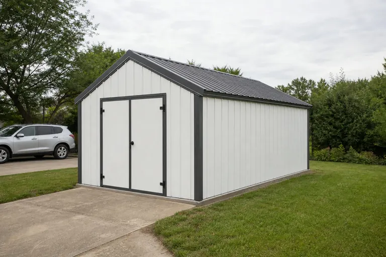 Garden and yard equipment storageThe classic use on a Champlain Valley or otherwise previously cleared lot with an established garden.Firewood and seasonal storageA common secondary use given Vermont's long, snowy winters and reliance on wood heat in many rural areas.Small workshop or hobby spaceA step up in finish level for a shed that also serves as a simple workspace.
Example Configuration — for planning purposes only.
Footprint
Sizes that suit a Vermont yard
Footprint choice in Vermont is less about lot size and more about how much clearing and grading the site can reasonably absorb.
8′ × 10′
80 sq ft
A compact footprint that limits site prep on a sloped or wooded lot.
10′ × 12′
120 sq ft
Room for garden tools and a mower without extensive grading.
12′ × 16′
192 sq ft
A step up for firewood storage alongside yard equipment.
12′ × 24′
288 sq ft
Where the shed also serves as a small workshop.
Example Configuration — for planning purposes only.
Footprint pages carry the room-by-room layout detail; this page only explains why the Vermont brief tends to land in this range.
Questions
Vermont garden shed questions
Honest state-level answers, with anything jurisdiction-specific routed to the office that actually owns it.
Permit thresholds and setback rules are set town by town in Vermont, and there is no single statewide size threshold we can state here. Confirm with your local building department before you build.
Yes in practice, even though it isn't a code requirement. Vermont Fish & Wildlife names distinct biophysical regions — Green Mountains, Champlain Valley, Vermont Valley, Northeastern Highlands — and terrain, slope and tree cover differ meaningfully among them.
We do not state design loads here — that is a code and engineering question for your local building department. Burlington's 87.5-inch annual snowfall normal is useful context for planning roof-shed direction and door clearance, not a specification.
A leveled, well-drained base is important given the state's freeze-thaw winters; the specific base type depends on your soil and site, which is worth confirming with whoever is doing your site work.
We do not publish state-level prices, because a credible number depends on size, specification and site prep needs. Our cost pages explain what drives the number.
Sources for the Vermont facts on this page
This page states no code requirement, wind speed, snow load, permit rule, price or supplier claim. The state-specific facts it does use are listed with their publisher below.
Burlington, VT's 1991-2020 annual climate normal precipitation is 37.53 inches with an annual normal snowfall of 87.5 inches.
NOAA National Centers for Environmental Information (NCEI) · 1991-2020 · Tier 1
https://www.ncei.noaa.gov/access/services/data/v1?dataset=normals-annualseasonal-1991-2020&dataTypes=ANN-PRCP-NORMAL,ANN-SNOW-NORMAL&stations=USW00014742&format=jsonNWS Burlington maintains a public historical monthly snowfall table for the Burlington, VT area going back to the winter of 1892-1893.
National Weather Service (NOAA), Burlington VT office · 1892-93 to present, ongoing · Tier 1
https://www.weather.gov/btv/historicalsnowThe Champlain Valley in northwestern Vermont is bounded by the Green Mountains to the east and the Adirondack Mountains (in New York) to the west, per the Lake Champlain Basin Program's basin atlas.
Lake Champlain Basin Program (federally chartered bi-state/bi-national program) · Reference material, current · Tier 2
https://atlas.lcbp.org/nature-environment/geology/The Vermont Fish & Wildlife Department's landowner guide divides the state into named biophysical regions reflecting Vermont's mountainous, forested terrain, including the Green Mountains, Champlain Valley, Vermont Valley, and Northeastern Highlands.
Vermont Fish & Wildlife Department · Reference material, current · Tier 2
https://vtfishandwildlife.com/sites/fishandwildlife/files/documents/Learn%20More/LandownersGuide/2.BiophysicalRegions.pdfFEMA's National Risk Index tool provides county- and tract-level composite and hazard-specific risk scores for Vermont's 14 counties across 18 natural hazard types.
Federal Emergency Management Agency (FEMA) · Current NRI release · Tier 1
https://www.fema.gov/flood-maps/products-tools/national-risk-index